
| Memorials | : | 0 |
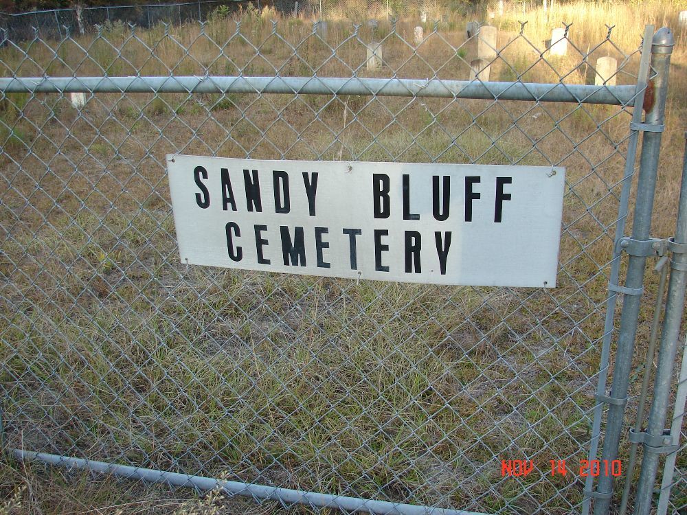
| Location | : | Nashville, Berrien County, USA |
| Coordinate | : | 31.2035999, -83.2742004 |
| Description | : | This cemetery is 2 miles west of Nashville, Georgia. Turn onto Sandy Bluff Road after travelling about 2 miles west on the Adel-Nashville Highway. Go about 1/4 mile and the cemetery is about 100 yards into the woods on the right on the Western banks of the Withlacoochee River on private property. NOTE: PLEASE CHECK WITH OWNERS FOR ACCESS TO GRAVEYARD. |
frequently asked questions (FAQ):
-
Where is Sandy Bluff Cemetery?
Sandy Bluff Cemetery is located at Nashville, Berrien County ,Georgia ,USA.
-
Sandy Bluff Cemetery cemetery's updated grave count on graveviews.com?
0 memorials
-
Where are the coordinates of the Sandy Bluff Cemetery?
Latitude: 31.2035999
Longitude: -83.2742004
Nearby Cemetories:
1. Nashville Memorial Gardens
Berrien County, USA
Coordinate: 31.1961190, -83.2641420
2. Westview Cemetery
Nashville, Berrien County, USA
Coordinate: 31.2038994, -83.2592010
3. Tygart Cemetery
Nashville, Berrien County, USA
Coordinate: 31.2005997, -83.2577972
4. Old City Cemetery
Nashville, Berrien County, USA
Coordinate: 31.2056007, -83.2542038
5. Connell Cemetery
Berrien County, USA
Coordinate: 31.1825008, -83.2758026
6. Griner Cemetery
Nashville, Berrien County, USA
Coordinate: 31.2113991, -83.2478027
7. Eastview Cemetery
Nashville, Berrien County, USA
Coordinate: 31.1993999, -83.2352982
8. Saint James Cemetery
Nashville, Berrien County, USA
Coordinate: 31.2103004, -83.2347031
9. Wheeler-Griner Cemetery
Nashville, Berrien County, USA
Coordinate: 31.2455997, -83.2739029
10. Long Bridge Cemetery
Nashville, Berrien County, USA
Coordinate: 31.1802580, -83.3211710
11. Bennett Cemetery
Berrien County, USA
Coordinate: 31.1532993, -83.2855988
12. White Pond Cemetery
Nashville, Berrien County, USA
Coordinate: 31.1500910, -83.2549950
13. Flat Creek Cemetery
Berrien County, USA
Coordinate: 31.2716999, -83.2506027
14. Griffin Cemetery
Berrien County, USA
Coordinate: 31.2124200, -83.1900670
15. Beulah Church Cemetery
Cook County, USA
Coordinate: 31.2038490, -83.3593690
16. Crossroads PB Church Cemetery
Adel, Cook County, USA
Coordinate: 31.1859680, -83.3738940
17. Forest Hill Freewill Baptist Church Cemetery
Adel, Cook County, USA
Coordinate: 31.1311450, -83.3594030
18. Brushy Creek Cemetery
Adel, Cook County, USA
Coordinate: 31.2143120, -83.3971920
19. Pleasant Cemetery
Ray City, Berrien County, USA
Coordinate: 31.0960999, -83.2981033
20. Wilkes Cemetery
Cook County, USA
Coordinate: 31.1205997, -83.3664017
21. Community Church Cemetery
Cook County, USA
Coordinate: 31.1198510, -83.3654770
22. Rowe-McClellan Cemetery
Enigma, Berrien County, USA
Coordinate: 31.3013490, -83.3462350
23. Pine Grove Baptist Church Cemetery
Nashville, Berrien County, USA
Coordinate: 31.2692820, -83.3879560
24. Easters Cemetery
Lenox, Cook County, USA
Coordinate: 31.2589000, -83.3959400