| Memorials | : | 0 |
| Location | : | Pontiac, Richland County, USA |
| Coordinate | : | 34.1475990, -80.8548260 |
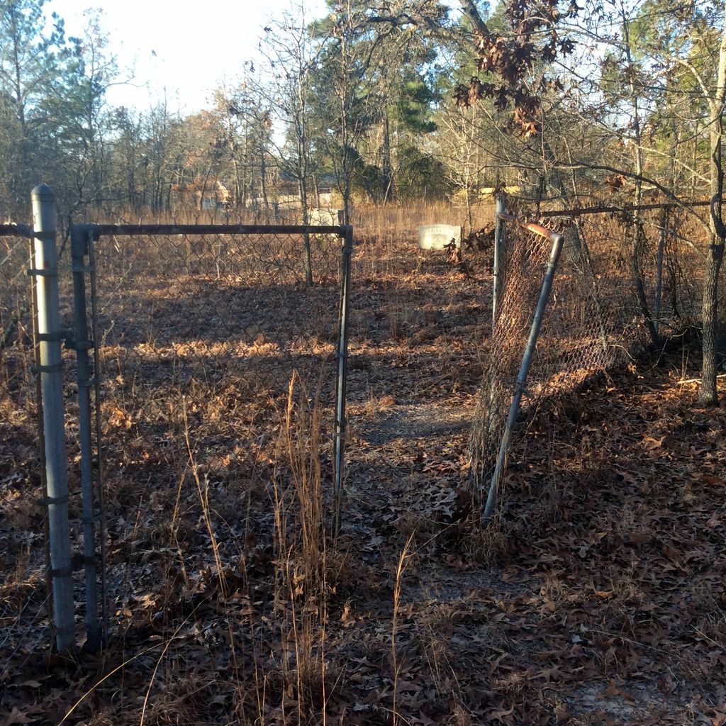
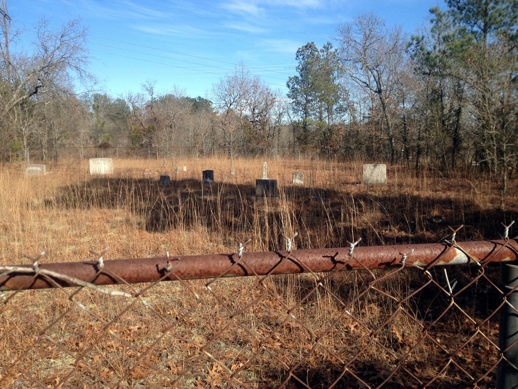
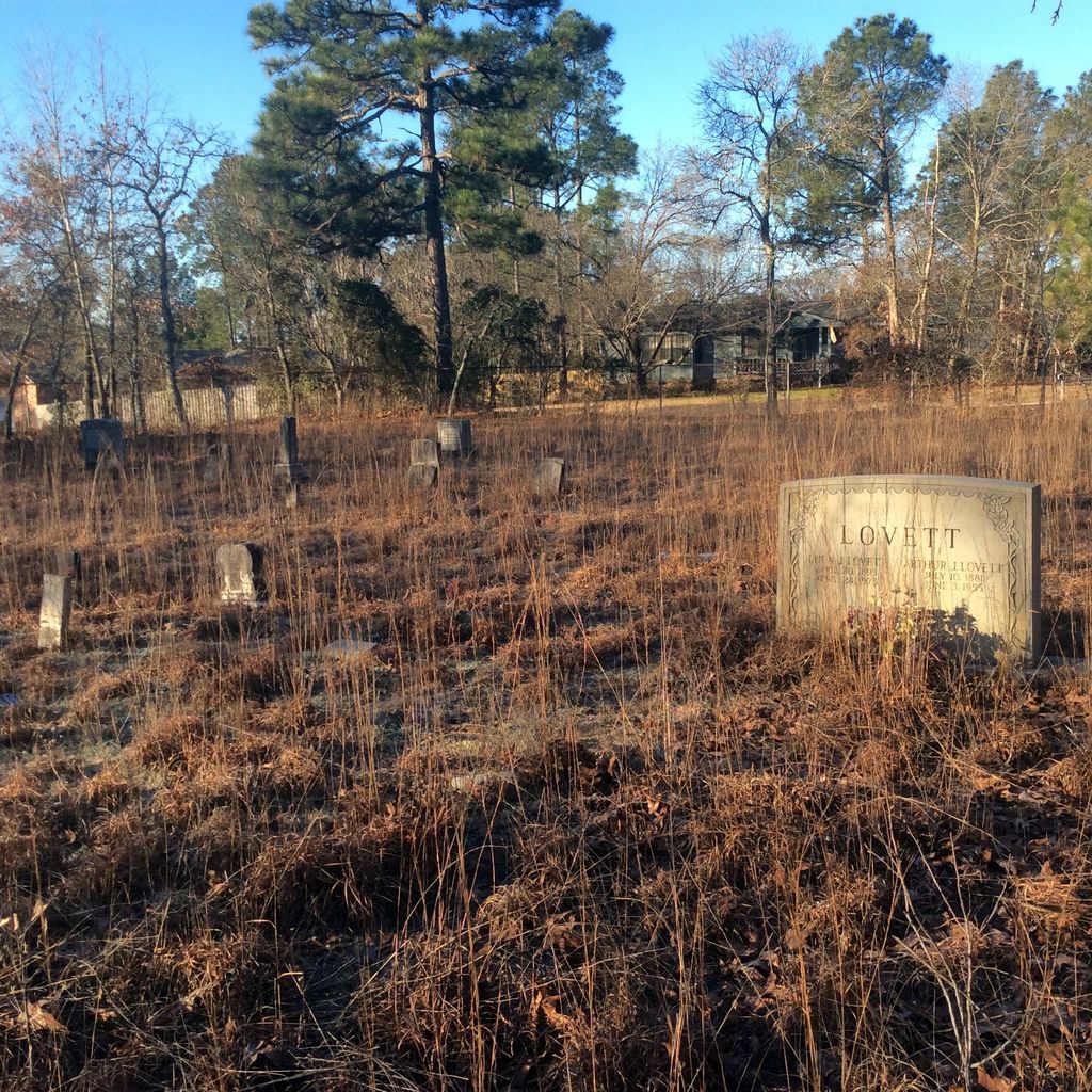
| Description | : | The old Sandy Run Cemetery was part of the Sandy Run Protestant Methodist Church. Very little information about this church exist. It sat adjacent to the cemetery and burned down at an unknown time and was never rebuilt. Deed to property in Richland County Courthouse, Columbia, SC. Deed Book 356 , Page 572. At present, it appears that no one is keeping up the property, it beginning to grow up in weeds, etc. |
frequently asked questions (FAQ):
-
Where is Sandy Run Protestant Methodist Church Cemetery?
Sandy Run Protestant Methodist Church Cemetery is located at Briarcliff West and Nature Trail Road Pontiac, Richland County ,South Carolina , 29045USA.
-
Sandy Run Protestant Methodist Church Cemetery cemetery's updated grave count on graveviews.com?
0 memorials
-
Where are the coordinates of the Sandy Run Protestant Methodist Church Cemetery?
Latitude: 34.1475990
Longitude: -80.8548260
Nearby Cemetories:
1. Jacobs Mission A.M.E. Church Cemetery
Richland County, USA
Coordinate: 34.1548030, -80.8506160
2. Oak Grove Baptist Church
Elgin, Kershaw County, USA
Coordinate: 34.1368770, -80.8513150
3. Gates Family Cemetery
Pontiac, Richland County, USA
Coordinate: 34.1620416, -80.8537899
4. Brown Cemetery
Pontiac, Richland County, USA
Coordinate: 34.1671768, -80.8607545
5. Greenhaven Memorial Gardens
Richland County, USA
Coordinate: 34.1479590, -80.8245330
6. Lighthouse Christian Ministries Cemetery
Kershaw County, USA
Coordinate: 34.1734930, -80.8480190
7. Richland County Cemetery
Pontiac, Richland County, USA
Coordinate: 34.1223570, -80.8677770
8. Royal Pines Independent Holiness Church Cemetery
Pontiac, Richland County, USA
Coordinate: 34.1211310, -80.8694600
9. Sand Hill Heights Baptist Church Cemetery
Elgin, Kershaw County, USA
Coordinate: 34.1791070, -80.8401510
10. Good Aim Baptist Church Cemetery
Elgin, Kershaw County, USA
Coordinate: 34.1858550, -80.8511780
11. Kelly Cemetery
Blythewood, Richland County, USA
Coordinate: 34.1833210, -80.8718020
12. Spring Valley Presbyterian Memorial Gardens
Spring Valley, Richland County, USA
Coordinate: 34.1124482, -80.8804385
13. Rose Family Cemetery
Elgin, Kershaw County, USA
Coordinate: 34.1746000, -80.8101000
14. Cooper Chapel Cemetery
Elgin, Kershaw County, USA
Coordinate: 34.1671460, -80.8047190
15. Hillcrest Baptist Church Cemetery
Elgin, Kershaw County, USA
Coordinate: 34.1660860, -80.8033680
16. Rehoboth Baptist Church Cemetery
Columbia, Richland County, USA
Coordinate: 34.1573560, -80.9107910
17. Spears Creek Baptist Church Cemetery
Pontiac, Richland County, USA
Coordinate: 34.1042140, -80.8249520
18. Spring Valley Pentecostal Holiness Church Cemetery
Pontiac, Richland County, USA
Coordinate: 34.1100630, -80.8961530
19. Salem United Methodist Church Cemetery
Elgin, Kershaw County, USA
Coordinate: 34.1674644, -80.7957385
20. Elizabeth Goff Family Cemetery
Elgin, Kershaw County, USA
Coordinate: 34.1708298, -80.7944412
21. Saint John Neumann Catholic Church Cemetery
Columbia, Richland County, USA
Coordinate: 34.1033800, -80.8967150
22. Blaney Baptist Church Cemetery
Elgin, Kershaw County, USA
Coordinate: 34.1683330, -80.7916670
23. Fort Jackson National Cemetery
Columbia, Richland County, USA
Coordinate: 34.0900560, -80.8490750
24. Ford Family Graves
Columbia, Richland County, USA
Coordinate: 34.0919930, -80.8771630


