| Memorials | : | 0 |
| Location | : | Hurtsboro, Russell County, USA |
| Coordinate | : | 32.3229680, -85.4082390 |
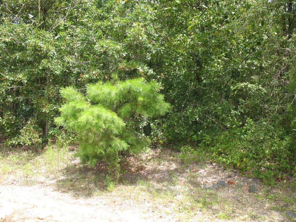
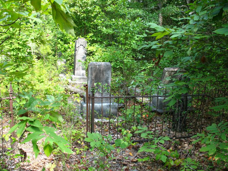
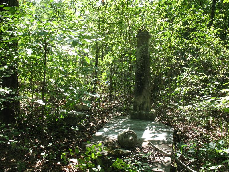
| Description | : | The cemetery is located north of Hurtsboron near the intersection of Highway 51 and Battle Road. Turn right onto Battle Road. Go approximately 25 yards on Battle Road and the cemetery is approximately 50 feet into the woods north of the road. It can not be seen from the road. Coorinates are: E32 19.372 W85 24.510 It is called the Andrew Chapel Methodist Church cemetery in "Sacred to the Memory of the Ancestors of Russell County, Alabama" complied by Phyllis W. East in 1999. |
frequently asked questions (FAQ):
-
Where is Scarbrough Cemetery?
Scarbrough Cemetery is located at Hurtsboro, Russell County ,Alabama ,USA.
-
Scarbrough Cemetery cemetery's updated grave count on graveviews.com?
0 memorials
-
Where are the coordinates of the Scarbrough Cemetery?
Latitude: 32.3229680
Longitude: -85.4082390
Nearby Cemetories:
1. Andrew Chapel AME Zion Church Cemetery
Hurtsboro, Russell County, USA
Coordinate: 32.3157280, -85.4047190
2. Key Cemetery
Boromville, Macon County, USA
Coordinate: 32.3320360, -85.3754430
3. Borom Family Cemetery
Macon County, USA
Coordinate: 32.3036003, -85.4405975
4. Boromville AME Zion Church Cemetery
Boromville, Macon County, USA
Coordinate: 32.2997960, -85.4439070
5. Oneseed Faith Ministry Cemetery
Uchee, Russell County, USA
Coordinate: 32.3562100, -85.3716720
6. Joshua Cemetery
Russell County, USA
Coordinate: 32.3563995, -85.3696976
7. Good Hope Baptist Church Cemetery
Uchee, Russell County, USA
Coordinate: 32.3516998, -85.3585968
8. Shady Grove AME Zion Church Cemetery
Hurtsboro, Russell County, USA
Coordinate: 32.2793010, -85.3740780
9. Mount Arrie Baptist Church Cemetery
Hatchechubbee, Russell County, USA
Coordinate: 32.3138180, -85.3361330
10. Pine Level Church Cemetery
Hatchechubbee, Russell County, USA
Coordinate: 32.3830670, -85.3851070
11. Saint Luke AME Church Cemetery
Hatchechubbee, Russell County, USA
Coordinate: 32.3091560, -85.3316720
12. Creek Stand Cemetery
Creek Stand, Macon County, USA
Coordinate: 32.2947006, -85.4811020
13. Walker Williamson Cemetery
Uchee, Russell County, USA
Coordinate: 32.3511009, -85.3347015
14. Uchee Cemetery
Uchee, Russell County, USA
Coordinate: 32.3527985, -85.3305969
15. Howard Chapel AME Church Cemetery
Hatchechubbee, Russell County, USA
Coordinate: 32.3550280, -85.3298230
16. Saint Paul AME Church Cemetery
Hurtsboro, Russell County, USA
Coordinate: 32.2473500, -85.4169240
17. Creek Stand AME Zion Church Cemetery
Boromville, Macon County, USA
Coordinate: 32.2902200, -85.4897800
18. Hurtsboro Cemetery
Hurtsboro, Russell County, USA
Coordinate: 32.2442017, -85.4180984
19. First Missionary Baptist Church Cemetery
Hurtsboro, Russell County, USA
Coordinate: 32.2402260, -85.4224100
20. Ross Chapel AME Zion Church Cemetery
Hurtsboro, Russell County, USA
Coordinate: 32.2396830, -85.4216130
21. Old Nero Baptist Church Cemetery
Hurtsboro, Russell County, USA
Coordinate: 32.2349380, -85.4009450
22. Mount Olive Baptist Church Cemetery
Hatchechubbee, Russell County, USA
Coordinate: 32.3387530, -85.2919080
23. Union Grove Missionary Baptist Church Cemetery
Russell County, USA
Coordinate: 32.4095930, -85.3488080
24. Cooper-McMakin Cemetery
Hatchechubbee, Russell County, USA
Coordinate: 32.3211360, -85.2886710


