
| Memorials | : | 534 |
| Location | : | Grimsby, North East Lincolnshire Unitary Authority, England |
| Coordinate | : | 53.5464940, -0.0885840 |
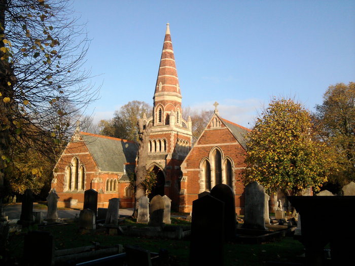
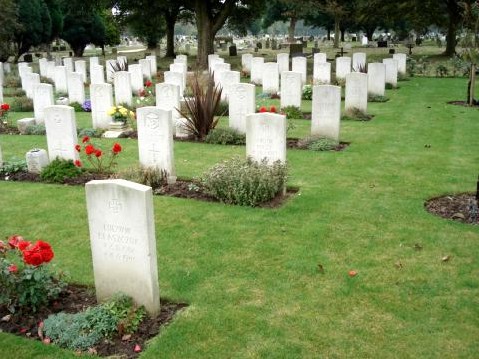
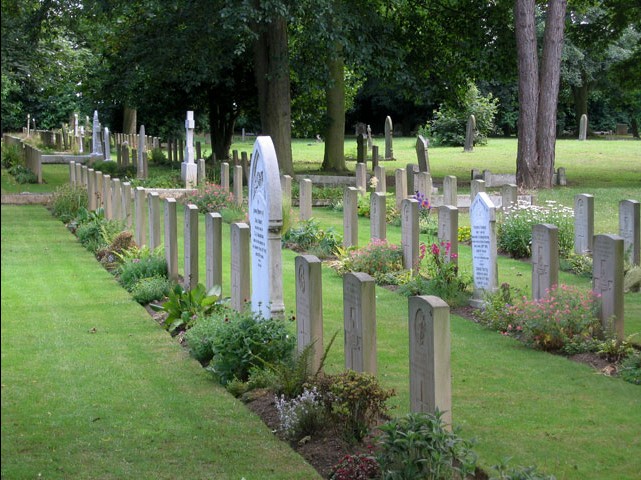
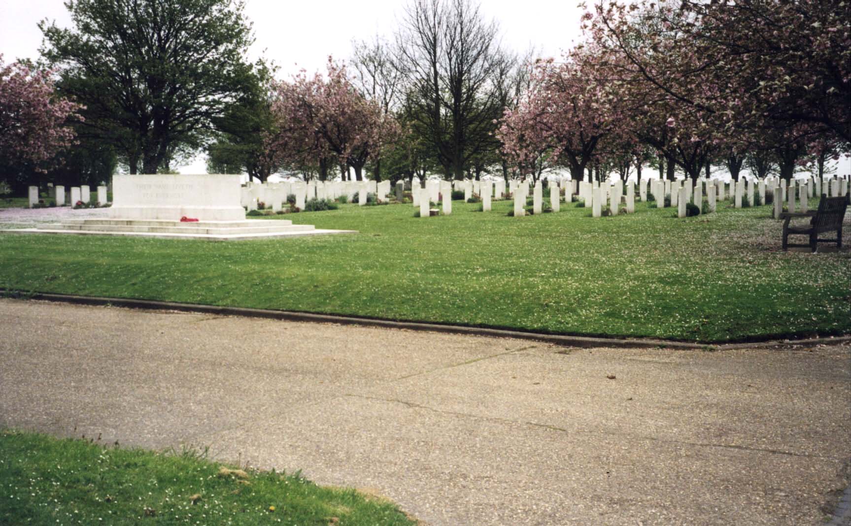
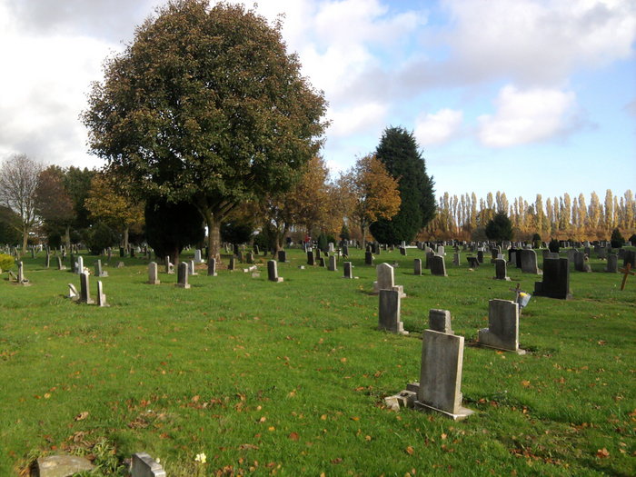
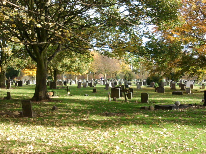
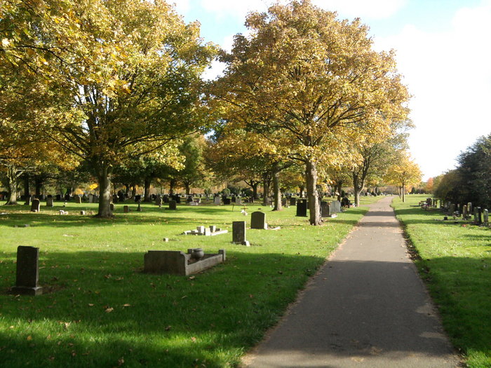
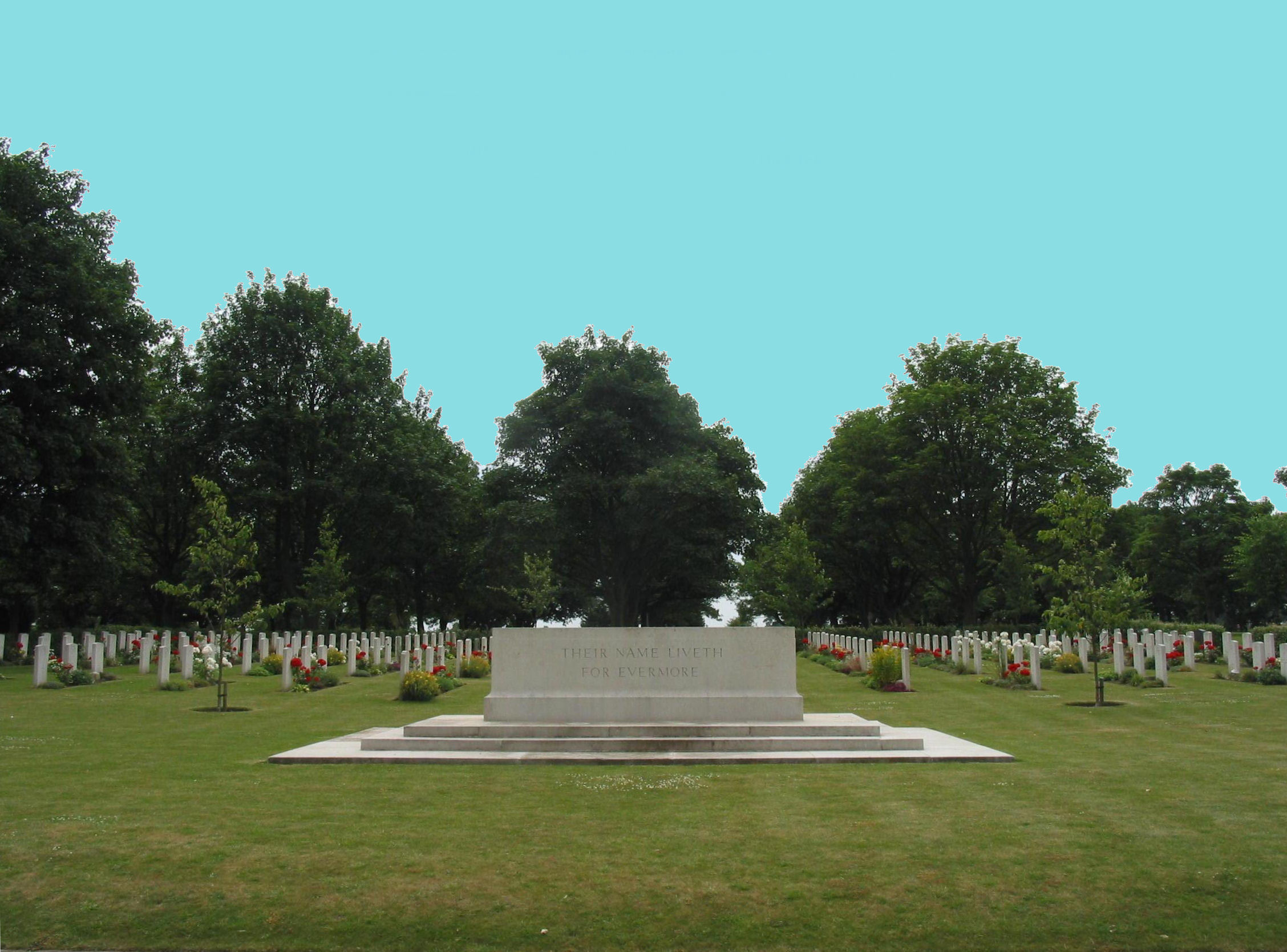
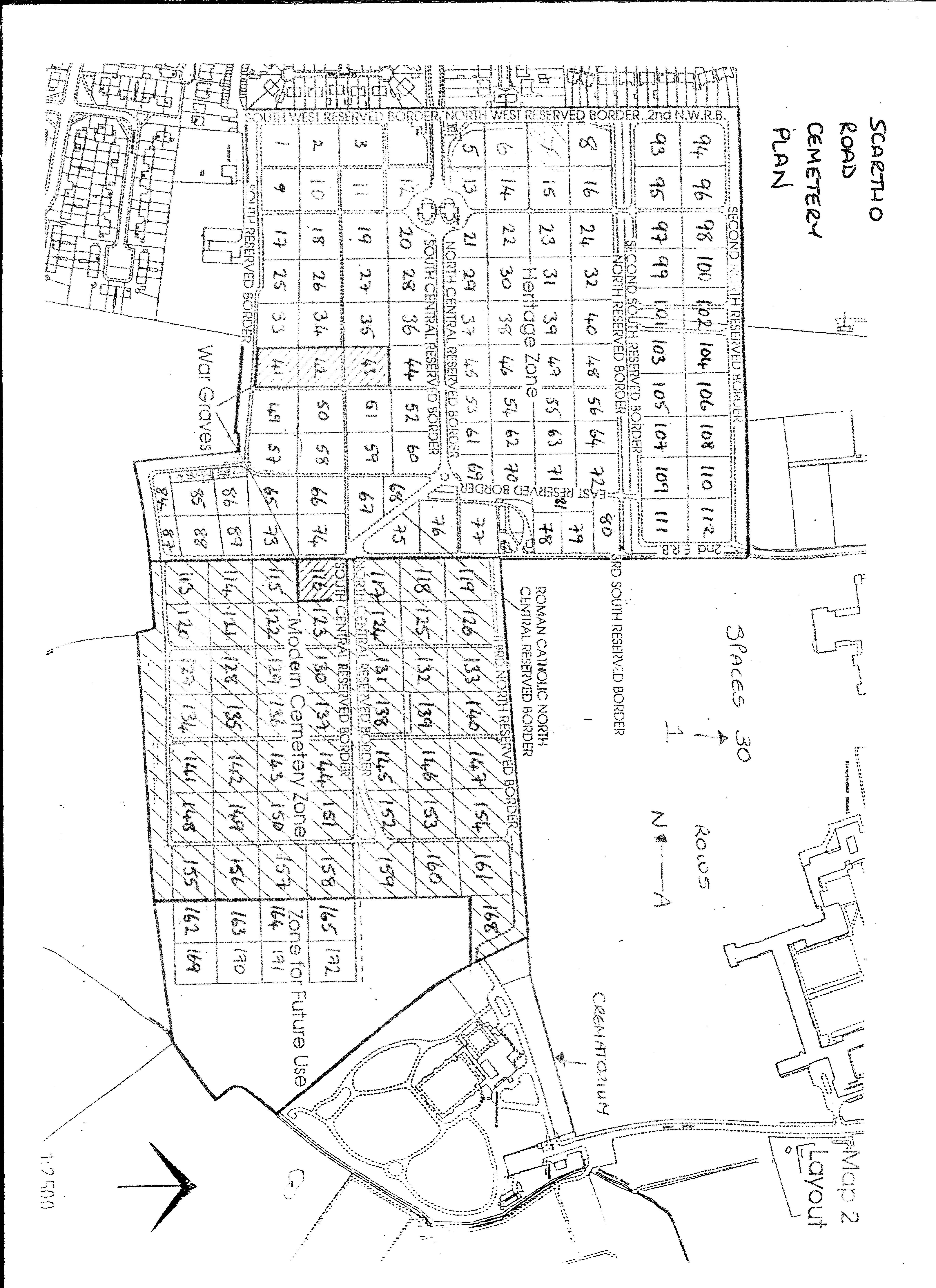
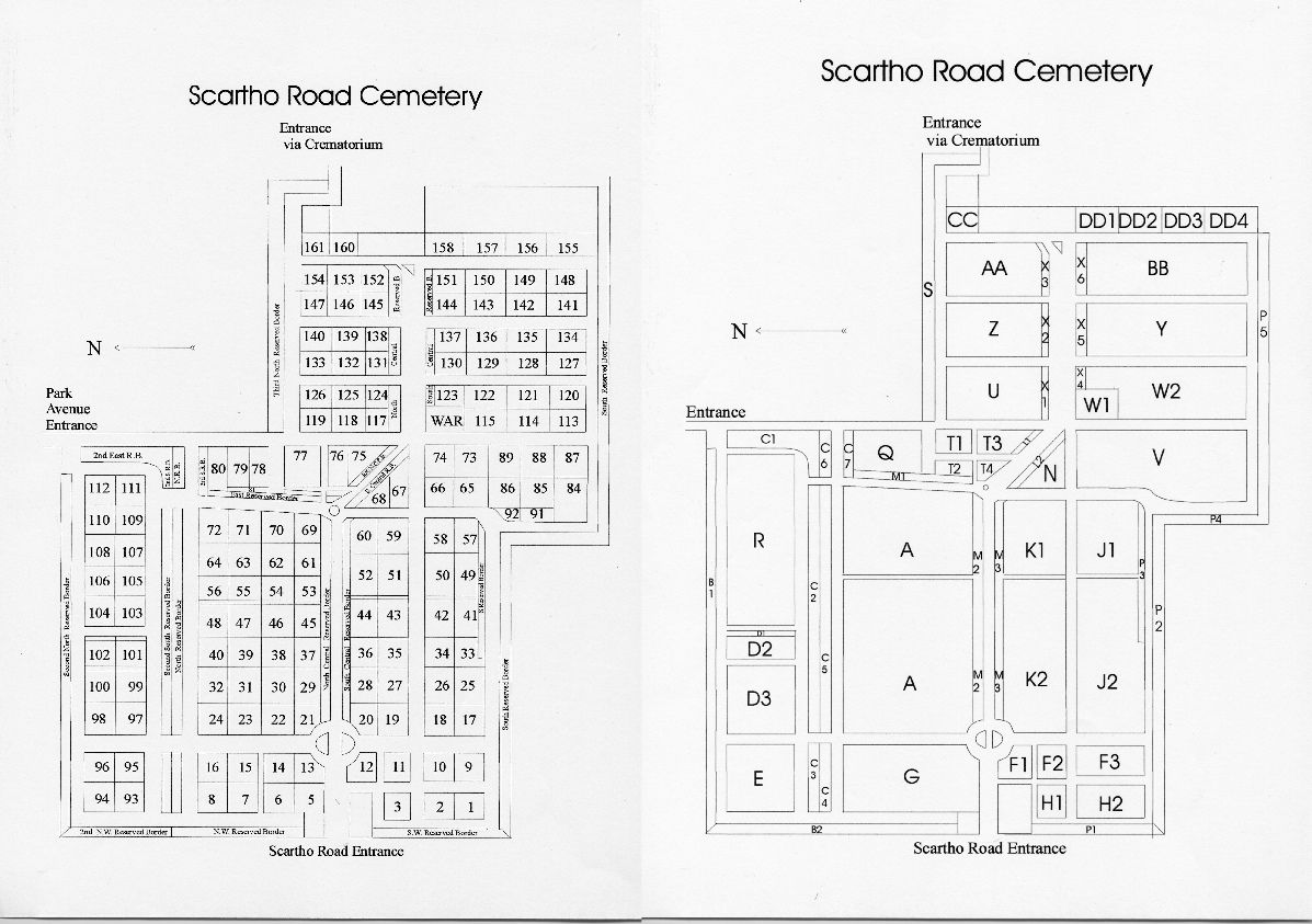
| Description | : | Grimsby (Scartho Road) Cemetery contains 281 scattered burials of the First World War,many of them seamen who served with the Auxiliary Patrol which operated out of Grimsby.Included in the total are special memorials to three casualties buried in Grimsby Old Cemetery where their graves could no longer be maintained.During the Second World War,boats of the Grimsby fishing fleet were attacked at sea,and the town and port were bombed many times,incurring casualties among servicemen as well as civilians.The cemetery contains 258 Second World War burials,almost 200 of them forming a war graves plot. There are also 17 war burials of other... Read More |
frequently asked questions (FAQ):
-
Where is Scartho Road Cemetery?
Scartho Road Cemetery is located at Scartho Road Grimsby, North East Lincolnshire Unitary Authority ,Lincolnshire , DN32 0BBEngland.
-
Scartho Road Cemetery cemetery's updated grave count on graveviews.com?
532 memorials
-
Where are the coordinates of the Scartho Road Cemetery?
Latitude: 53.5464940
Longitude: -0.0885840

Nearby Cemetories:
1. Grimsby Crematorium
Grimsby, North East Lincolnshire Unitary Authority, England
Coordinate: 53.5466260, -0.0776350
2. St. Giles Churchyard
Scartho, North East Lincolnshire Unitary Authority, England
Coordinate: 53.5384200, -0.0888130
3. St. James Minster and Parish Church
Grimsby, North East Lincolnshire Unitary Authority, England
Coordinate: 53.5639670, -0.0893070
4. Holy Trinity & St Mary the Virgin Churchyard
Grimsby, North East Lincolnshire Unitary Authority, England
Coordinate: 53.5569000, -0.0541000
5. St Georges Churchyard
Bradley, North East Lincolnshire Unitary Authority, England
Coordinate: 53.5429000, -0.1275800
6. St Michael's Churchyard
Little Coates, North East Lincolnshire Unitary Authority, England
Coordinate: 53.5631770, -0.1274160
7. Cleethorpes Cemetery
Cleethorpes, North East Lincolnshire Unitary Authority, England
Coordinate: 53.5553760, -0.0399990
8. All Saints Churchyard
Waltham, North East Lincolnshire Unitary Authority, England
Coordinate: 53.5167000, -0.0986700
9. Waltham Cemetery
Waltham, North East Lincolnshire Unitary Authority, England
Coordinate: 53.5155500, -0.0934700
10. St Peter's Church
Cleethorpes, North East Lincolnshire Unitary Authority, England
Coordinate: 53.5579756, -0.0307081
11. St Nicolas Churchyard
Great Coates, North East Lincolnshire Unitary Authority, England
Coordinate: 53.5701890, -0.1391100
12. St Peters Churchyard
Humberston, North East Lincolnshire Unitary Authority, England
Coordinate: 53.5278300, -0.0238300
13. Holton le Clay Cemetery
Holton le Clay, East Lindsey District, England
Coordinate: 53.5074170, -0.0592630
14. St Peters Churchyard
Holton le Clay, East Lindsey District, England
Coordinate: 53.5060368, -0.0616628
15. St Helen's Churchyard
Brigsley, North East Lincolnshire Unitary Authority, England
Coordinate: 53.4982361, -0.1099315
16. Laceby Cemetery
Laceby, North East Lincolnshire Unitary Authority, England
Coordinate: 53.5411890, -0.1740470
17. St Peter & St Paul
Healing, North East Lincolnshire Unitary Authority, England
Coordinate: 53.5734480, -0.1682390
18. St Peter's Churchyard
Ashby cum Fenby, North East Lincolnshire Unitary Authority, England
Coordinate: 53.4903100, -0.1105200
19. St Lawrence Churchyard
Aylesby, North East Lincolnshire Unitary Authority, England
Coordinate: 53.5511600, -0.1858320
20. St Nicholas Church
Grainsby, East Lindsey District, England
Coordinate: 53.4765150, -0.0755630
21. St Andrew
Beelsby, North East Lincolnshire Unitary Authority, England
Coordinate: 53.5015700, -0.1810580
22. St. Martin Churchyard
East Ravendale, North East Lincolnshire Unitary Authority, England
Coordinate: 53.4793000, -0.1370044
23. St Edmunds Churchyard
Riby, West Lindsey District, England
Coordinate: 53.5506410, -0.2134070
24. St Marys Churchyard
Hatcliffe, North East Lincolnshire Unitary Authority, England
Coordinate: 53.4890900, -0.1729800