
| Memorials | : | 2 |
| Location | : | Rangeley, Franklin County, USA |
| Coordinate | : | 44.9688930, -70.6900160 |
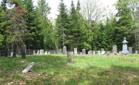
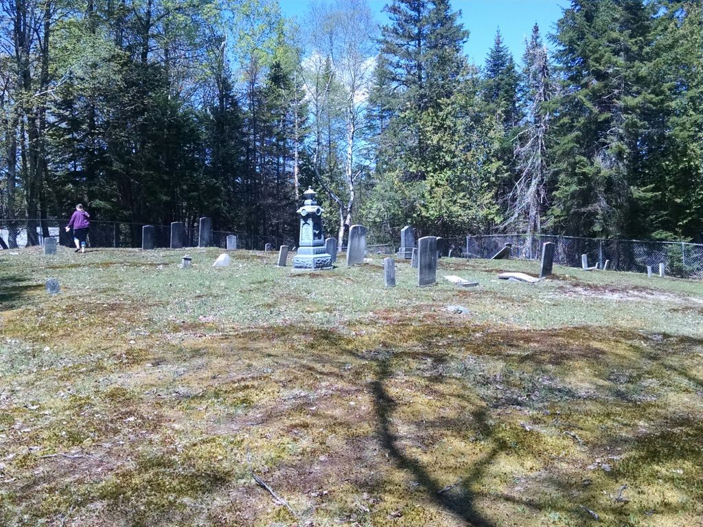
| Description | : | Off the North side of Rt 16, behind the Old White Schoolhouse across from the Mingo Springs Road. |
frequently asked questions (FAQ):
-
Where is Schoolhouse Cemetery?
Schoolhouse Cemetery is located at Off the North side of Rt 16 Rangeley, Franklin County ,Maine ,USA.
-
Schoolhouse Cemetery cemetery's updated grave count on graveviews.com?
2 memorials
-
Where are the coordinates of the Schoolhouse Cemetery?
Latitude: 44.9688930
Longitude: -70.6900160
Nearby Cemetories:
1. Evergreen Cemetery
Rangeley, Franklin County, USA
Coordinate: 44.9675000, -70.6584400
2. Wilhelm Reich Museum
Rangeley, Franklin County, USA
Coordinate: 44.9847220, -70.7161110
3. Wilbur Cemetery
Rangeley, Franklin County, USA
Coordinate: 44.9781260, -70.6450400
4. Nile Cemetery
Rangeley, Franklin County, USA
Coordinate: 44.9435800, -70.6344900
5. Oakes-Peary Cemetery
Dallas, Franklin County, USA
Coordinate: 44.9644180, -70.6022210
6. Bubier Cemetery
Dallas, Franklin County, USA
Coordinate: 44.9847500, -70.5903100
7. Bubier-Green-Stuart Cemetery
Dallas, Franklin County, USA
Coordinate: 44.9844930, -70.5836500
8. Brooks Grave
Rangeley, Franklin County, USA
Coordinate: 44.8945530, -70.5569670
9. Winslow Cemetery
Madrid, Franklin County, USA
Coordinate: 44.8384800, -70.5311000
10. Madrid Village Cemetery
Madrid, Franklin County, USA
Coordinate: 44.8685500, -70.4650200
11. Dunham Cemetery
Madrid, Franklin County, USA
Coordinate: 44.8823500, -70.4450900
12. Madrid Centre Cemetery
Madrid, Franklin County, USA
Coordinate: 44.8864800, -70.4172240
13. Field Cemetery
Phillips, Franklin County, USA
Coordinate: 44.8604927, -70.4283676
14. East Madrid Cemetery
Madrid, Franklin County, USA
Coordinate: 44.9127000, -70.3890900
15. Buckfield Hill Cemetery
Byron, Oxford County, USA
Coordinate: 44.7420998, -70.6200333
16. Pinkham Hill Cemetery
Phillips, Franklin County, USA
Coordinate: 44.8266563, -70.4285431
17. Billington Cemetery
Phillips, Franklin County, USA
Coordinate: 44.8218947, -70.4180910
18. Lincoln Plantation Cemetery
Wilsons Mills, Oxford County, USA
Coordinate: 44.9289398, -71.0285873
19. Byron Annex Cemetery
Phillips, Franklin County, USA
Coordinate: 44.8674830, -70.3771330
20. Byron Cemetery
Phillips, Franklin County, USA
Coordinate: 44.8669395, -70.3767624
21. Bennett Cemetery
Wilsons Mills, Oxford County, USA
Coordinate: 44.9190600, -71.0390100
22. Stockbridge Cemetery
Byron, Oxford County, USA
Coordinate: 44.7155991, -70.6921997
23. Marrow Cemetery
Phillips, Franklin County, USA
Coordinate: 44.8302917, -70.3889313
24. Stratton Lower Cemetery
Eustis, Franklin County, USA
Coordinate: 45.1600800, -70.4479800