| Memorials | : | 66 |
| Location | : | Schurz, Mineral County, USA |
| Coordinate | : | 38.9740982, -118.8443985 |
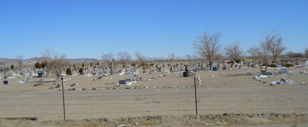
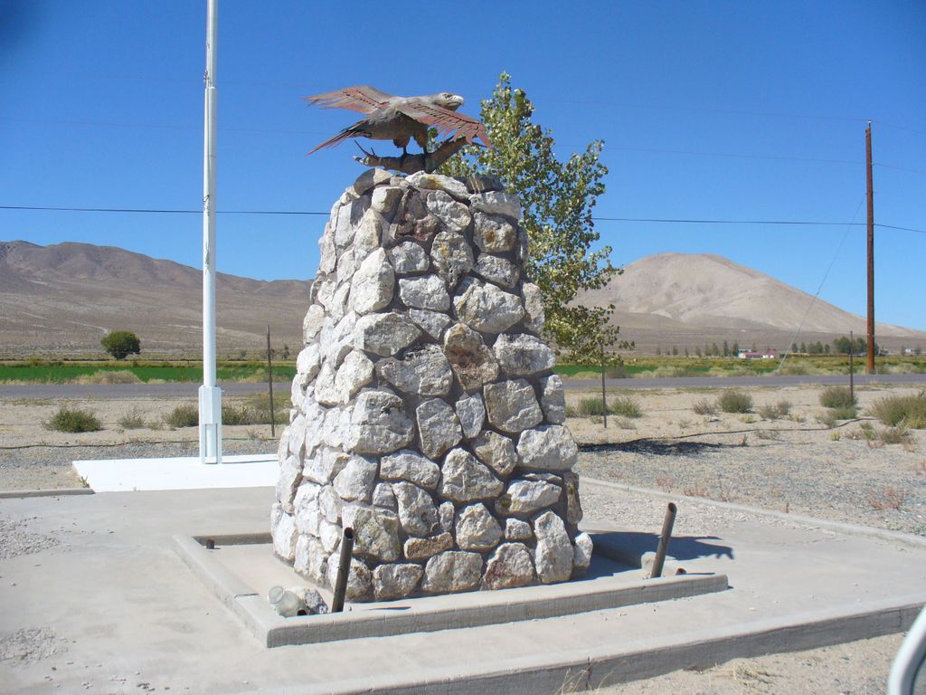
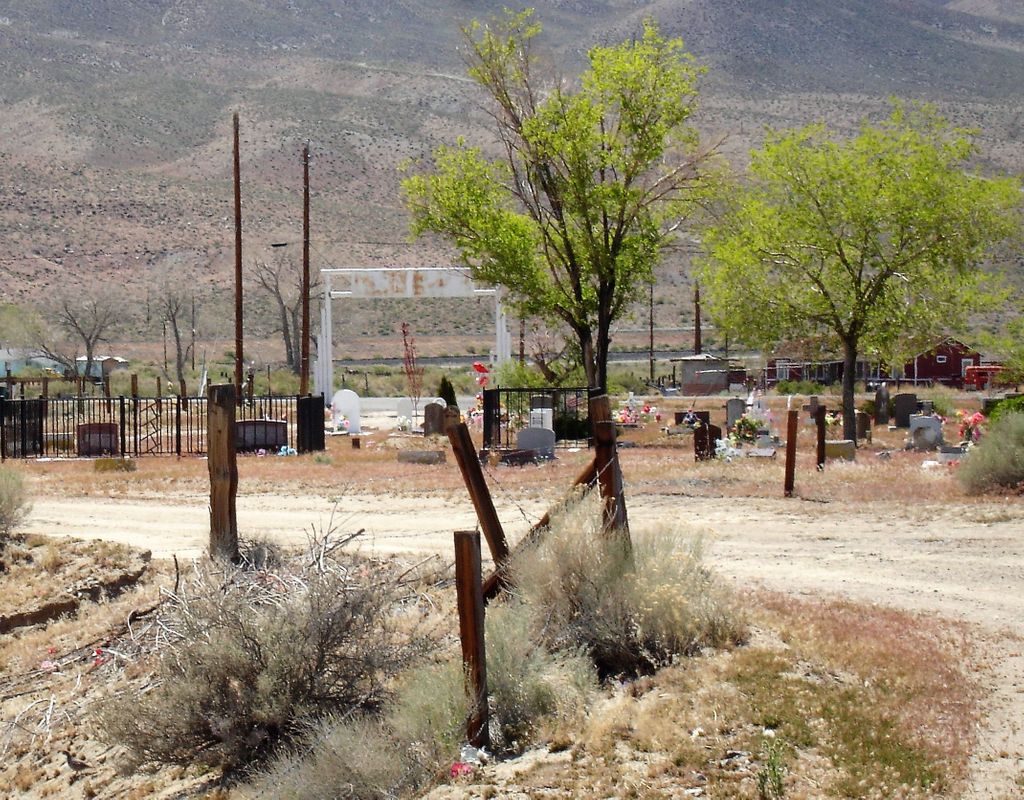
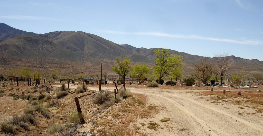
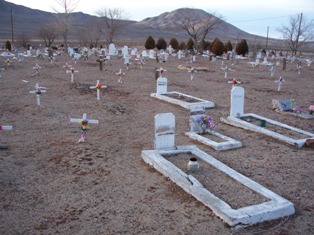
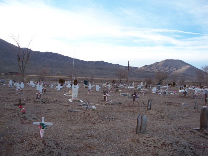
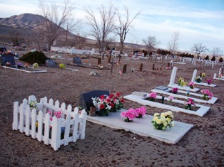
| Description | : | Schurz Paiute Indian Cemetery is located off of Alternate 95. Turn at the water tower which is Vista Drive. If you are coming from Yerington the turn off to Vista Drive is about 24 miles. If you are coming from the intersection of 95 and alternate 95 then it is about 2.6 miles to the water tower and Vista Drive. Once on Vista Drive you will go 3/10 of a mile where you will find railroad tracks and a stop sign. From the stop sign continue going straight you will find the cemetery on the right hand side of the... Read More |
frequently asked questions (FAQ):
-
Where is Schurz Paiute Indian Cemetery?
Schurz Paiute Indian Cemetery is located at Schurz, Mineral County ,Nevada ,USA.
-
Schurz Paiute Indian Cemetery cemetery's updated grave count on graveviews.com?
62 memorials
-
Where are the coordinates of the Schurz Paiute Indian Cemetery?
Latitude: 38.9740982
Longitude: -118.8443985
Nearby Cemetories:
1. Valley View Cemetery
Yerington, Lyon County, USA
Coordinate: 38.9643593, -119.1384888
2. Yerington Paiute Memorial Cemetery
Yerington, Lyon County, USA
Coordinate: 38.9367900, -119.1924100
3. Elm Tree Cemetery
Yerington, Lyon County, USA
Coordinate: 38.8274994, -119.1682968
4. Virginia Mahon Gravesite
Walker Lake, Mineral County, USA
Coordinate: 38.6531300, -118.7615500
5. Rawhide Cemetery
Mineral County, USA
Coordinate: 39.0424995, -118.4019012
6. Pine Grove Cemetery
Pine Grove, Lyon County, USA
Coordinate: 38.6825000, -119.1255000
7. Wrightman Ranch Cemetery
Fallon, Churchill County, USA
Coordinate: 39.2026000, -118.4540000
8. Valley Grove Cemetery
Smith, Lyon County, USA
Coordinate: 38.8020510, -119.3383030
9. Saint Marys Episcopal Church Cemetery
Nixon, Washoe County, USA
Coordinate: 38.8329910, -119.3573040
10. Hillcrest Cemetery
Smith, Lyon County, USA
Coordinate: 38.7867012, -119.3343964
11. Turner Grave Site
Churchill County, USA
Coordinate: 39.2915479, -118.4477394
12. Saint Clair Cemetery
Fallon, Churchill County, USA
Coordinate: 39.4150009, -118.7782974
13. Allen Road Cemetery
Fallon, Churchill County, USA
Coordinate: 39.4275000, -118.8000000
14. Fort Churchill Cemetery
Lyon County, USA
Coordinate: 39.2956009, -119.2667007
15. Everett Family Cemetery
Wellington, Lyon County, USA
Coordinate: 38.7844880, -119.3903490
16. Hawthorne Cemetery
Hawthorne, Mineral County, USA
Coordinate: 38.5340004, -118.6253967
17. Chinese Cemetery
Hawthorne, Mineral County, USA
Coordinate: 38.5334300, -118.6144800
18. Poinsettia Burial Ground
Hawthorne, Mineral County, USA
Coordinate: 38.7787400, -118.2624100
19. Holy Trinity Episcopal Church Columbarium
Fallon, Churchill County, USA
Coordinate: 39.4701760, -118.7755950
20. Rosewood Drive Cemetery
Fallon, Churchill County, USA
Coordinate: 39.4731400, -118.8431100
21. Gardens Cemetery
Fallon, Churchill County, USA
Coordinate: 39.4751000, -118.7234000
22. Churchill County Cemetery
Fallon, Churchill County, USA
Coordinate: 39.4812900, -118.7518500
23. McMichael Family Cemetery
Douglas County, USA
Coordinate: 38.7380900, -119.4315700
24. Chinese Gravesite
Hawthorne, Mineral County, USA
Coordinate: 38.5479813, -118.4238892

