
| Memorials | : | 0 |
| Location | : | Bad Schussenried, Landkreis Biberach, Germany |
| Coordinate | : | 48.0096500, 9.6674200 |
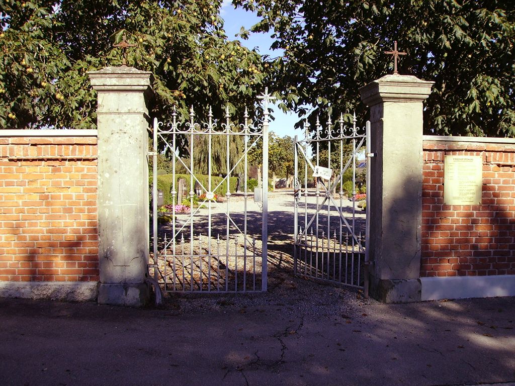
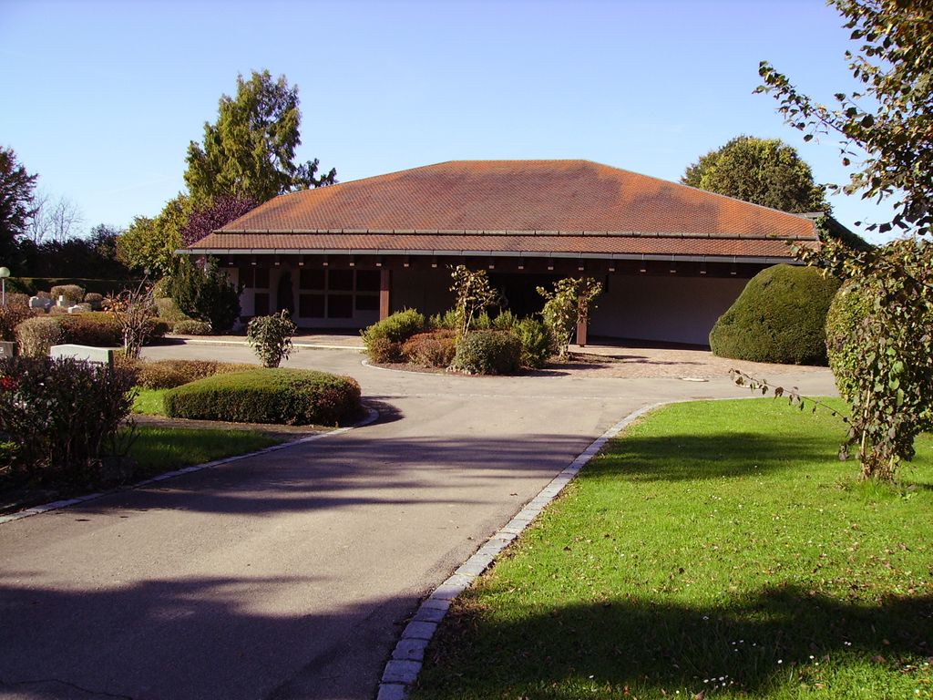
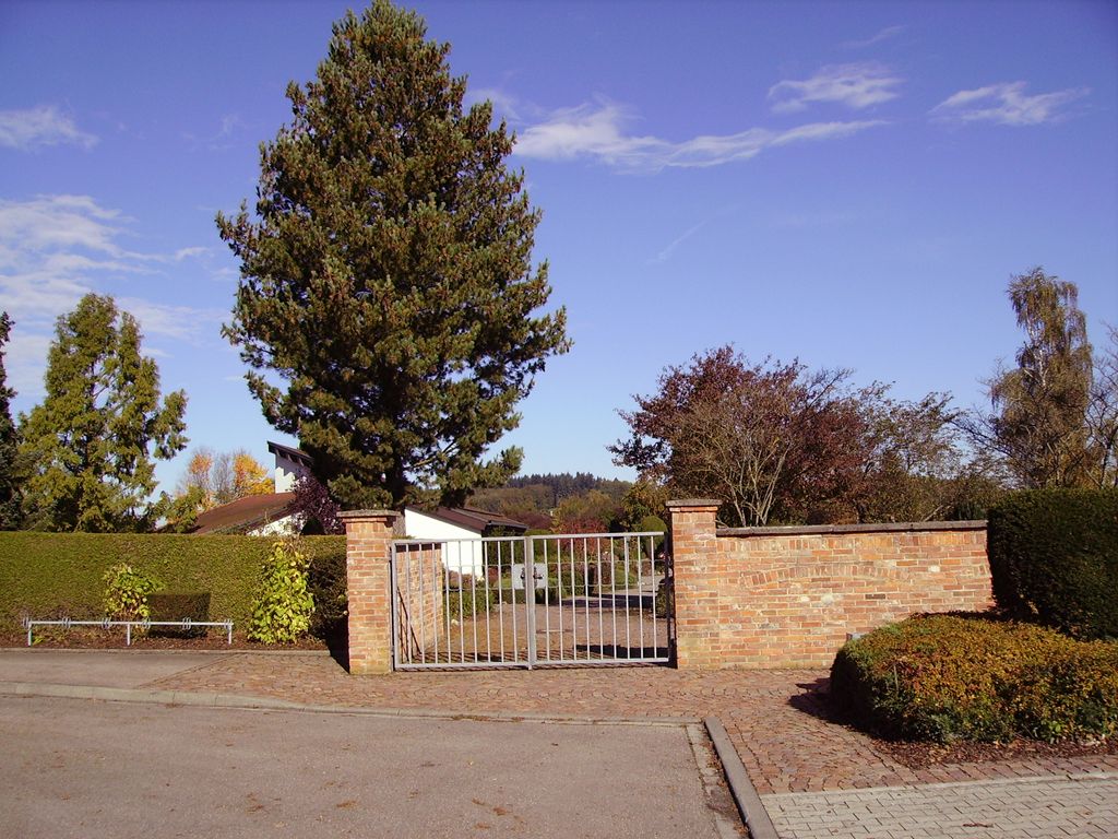
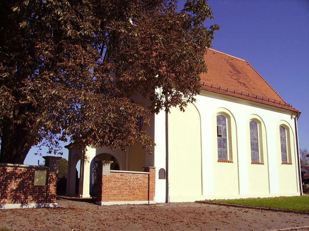
| Description | : | Anno 1515 hatte Abt Johannes III. Wittmayer (1505-1544) am Weg nach Olzreute ein Siechenhaus (Krankenhaus) erbauen lassen, so verlegten seine Nachfolger dorthin auch einen Gottesacker (Friedhof). Unmittelbarer Anlaß hierfür war die 1610 auch im Klostergebiet ausgebrochene Pest gewesen. Um 1613 wurde unter Abt Martin Dietrich (1606-1621) nach der Pestepedemie 1610 neben dem bereits seit 1515 bestehendem Siechenhaus außerdem eine Kapelle errichtet. Der frühbarocke Sakralbau wurde vom Abt später unter den Schutz seines Namenspatrons gestellt - als Martinskapelle! Besonders zu erwähnen sind: - jene Friedhofskapelle St. Martin ein breiter, ostwärts dreiseitig geschlossener Rechteckbau, im Westen mit einer kleinen Vorhalle, 1613 unter Abt... Read More |
frequently asked questions (FAQ):
-
Where is Schussenrieder Friedhof St.Martin?
Schussenrieder Friedhof St.Martin is located at Olzreuter Straße Bad Schussenried, Landkreis Biberach ,Baden-Württemberg , 88427Germany.
-
Schussenrieder Friedhof St.Martin cemetery's updated grave count on graveviews.com?
0 memorials
-
Where are the coordinates of the Schussenrieder Friedhof St.Martin?
Latitude: 48.0096500
Longitude: 9.6674200
Nearby Cemetories:
1. Pfarrkirche St Martin
Aulendorf, Landkreis Ravensburg, Germany
Coordinate: 47.9542800, 9.6388100
2. Michelwinnaden
Michelwinnaden, Landkreis Ravensburg, Germany
Coordinate: 47.9641200, 9.7263300
3. Jüdischer Friedhof Bad Buchau
Bad Buchau, Landkreis Biberach, Germany
Coordinate: 48.0617300, 9.6161400
4. Friedhof Aulendorf
Aulendorf, Landkreis Ravensburg, Germany
Coordinate: 47.9478292, 9.6336496
5. Friedhof Renhardsweiler
Bad Saulgau, Landkreis Sigmaringen, Germany
Coordinate: 48.0047298, 9.5691117
6. Stiftskirche
Bad Buchau, Landkreis Biberach, Germany
Coordinate: 48.0674400, 9.6113900
7. Friedhof Oberessendorf
Oberessendorf, Landkreis Biberach, Germany
Coordinate: 47.9848285, 9.7797894
8. Friedhof Hochdorf
Hochdorf, Landkreis Biberach, Germany
Coordinate: 48.0249600, 9.7850300
9. Friedhof Braunenweiler
Bad Saulgau, Landkreis Sigmaringen, Germany
Coordinate: 48.0320022, 9.5457613
10. Friedhof Hochberg
Bad Saulgau, Landkreis Sigmaringen, Germany
Coordinate: 47.9822032, 9.5389988
11. Alter Friedhof Schorndorf
Schorndorf, Rems-Murr-Kreis, Germany
Coordinate: 48.0000000, 9.5292009
12. Friedhof Mittelbiberach
Mittelbiberach, Landkreis Biberach, Germany
Coordinate: 48.0898538, 9.7556328
13. Stadtfriedhof Biberach an der Riss
Biberach an der Riss, Landkreis Biberach, Germany
Coordinate: 48.0770800, 9.7863000
14. Friedhof Bad Saulgau
Bad Saulgau, Landkreis Sigmaringen, Germany
Coordinate: 48.0146207, 9.5102805
15. Alter Friedhof Bad Waldsee
Bad Waldsee, Landkreis Ravensburg, Germany
Coordinate: 47.9166600, 9.7566600
16. Schloss- und Pfarrkirche St. Michael
Altshausen, Landkreis Ravensburg, Germany
Coordinate: 47.9352050, 9.5360810
17. Friedhof Ummendorf
Ummendorf, Landkreis Biberach, Germany
Coordinate: 48.0571500, 9.8311300
18. Friedhof Moosheim
Bad Saulgau, Landkreis Sigmaringen, Germany
Coordinate: 48.0434833, 9.4951899
19. Alter katholischer Friedhof
Biberach an der Riss, Landkreis Biberach, Germany
Coordinate: 48.1033900, 9.7857700
20. Russenfriedhof
Biberach an der Riss, Landkreis Biberach, Germany
Coordinate: 48.1006016, 9.7972702
21. Alter evangelischer Friedhof
Biberach an der Riss, Landkreis Biberach, Germany
Coordinate: 48.1013468, 9.7973872
22. Friedhof Sießen
Siessen, Landkreis Sigmaringen, Germany
Coordinate: 48.0003240, 9.4737600
23. Friedhof Attenweiler
Attenweiler, Landkreis Biberach, Germany
Coordinate: 48.1401797, 9.6983606
24. Friedhof Rupertshofen
Rupertshofen, Landkreis Biberach, Germany
Coordinate: 48.1466461, 9.6638860