
| Memorials | : | 1 |
| Location | : | Briceville, Anderson County, USA |
| Coordinate | : | 36.1697006, -84.2149963 |
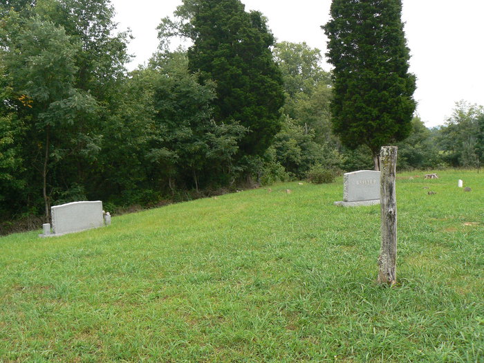
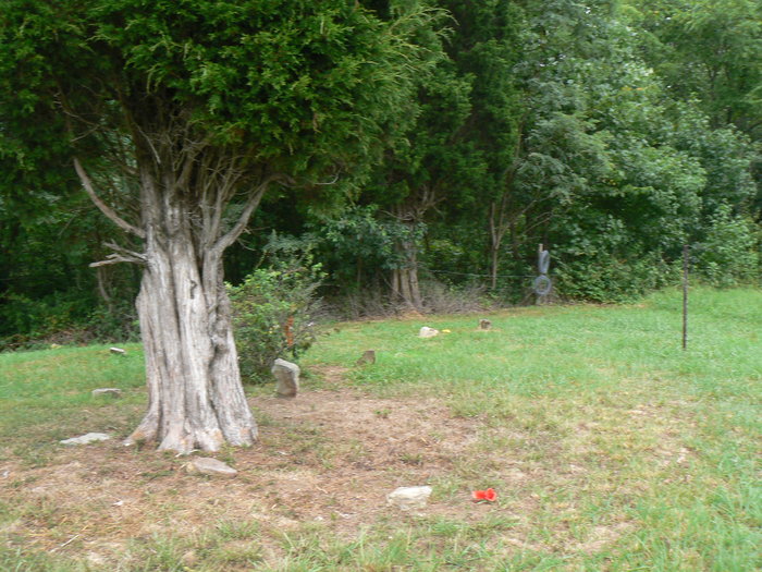
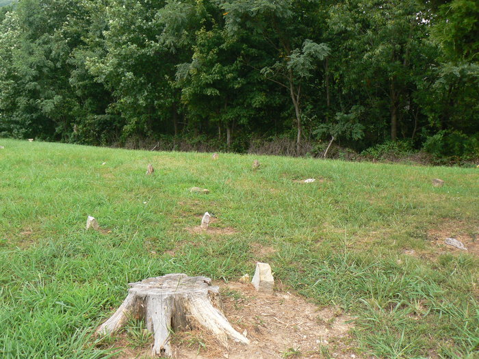
| Description | : | Seiber Cemetery is located on Seiber Flats, Briceville, Anderson Co, Tennessee. This is an old family cemetery & named such because many Seiber families lived & raised their families on the flat. It was recorded November 1, 1988 as SEEBER & published in the book "Anderson County, Tennessee Cemetery Records 1989" compiled by Mary S Harris. This was improperly recorded with the incorrect spelling of Seeber. The families living on the flat spelled their name Seiber. |
frequently asked questions (FAQ):
-
Where is Seiber Cemetery?
Seiber Cemetery is located at Seiber Flats Briceville, Anderson County ,Tennessee ,USA.
-
Seiber Cemetery cemetery's updated grave count on graveviews.com?
1 memorials
-
Where are the coordinates of the Seiber Cemetery?
Latitude: 36.1697006
Longitude: -84.2149963
Nearby Cemetories:
1. Mountain of Peace
Briceville, Anderson County, USA
Coordinate: 36.1699600, -84.2176990
2. Burris Cemetery
Anderson County, USA
Coordinate: 36.1671982, -84.2177963
3. Indian Bluff Baptist Church Cemetery
Briceville, Anderson County, USA
Coordinate: 36.1550789, -84.2371473
4. Indian Bluff Cemetery
Briceville, Anderson County, USA
Coordinate: 36.1556015, -84.2378006
5. Circle Cemetery
Briceville, Anderson County, USA
Coordinate: 36.1716995, -84.1860962
6. Briceville Methodist Church Cemetery
Briceville, Anderson County, USA
Coordinate: 36.1789000, -84.1833000
7. Briceville Cemetery
Anderson County, USA
Coordinate: 36.1789017, -84.1832962
8. Brown Cemetery
Anderson County, USA
Coordinate: 36.1460991, -84.2350006
9. Hoskins Cemetery
Anderson County, USA
Coordinate: 36.1453018, -84.1913986
10. Lowe & Brown Cemetery
Briceville, Anderson County, USA
Coordinate: 36.1469002, -84.2444000
11. Graves Gap Cemetery
Briceville, Anderson County, USA
Coordinate: 36.1469002, -84.2461014
12. Cumberland Mountain Baptist Church Cemetery
Anderson County, USA
Coordinate: 36.2033005, -84.2088013
13. Johnson Cemetery
Anderson County, USA
Coordinate: 36.1302986, -84.1903000
14. Asslinger Cemetery
Anderson County, USA
Coordinate: 36.1768990, -84.2771988
15. Pine Ridge Baptist Church Cemetery
Clinton, Anderson County, USA
Coordinate: 36.1493540, -84.1532700
16. Black Cemetery
Anderson County, USA
Coordinate: 36.1685982, -84.1474991
17. Laurel Grove Cemetery
Laurel Grove, Anderson County, USA
Coordinate: 36.1180992, -84.2371979
18. Henson Memorial Gardens
Anderson County, USA
Coordinate: 36.1422005, -84.1552963
19. Dotson Cemetery
Clinton, Anderson County, USA
Coordinate: 36.1424306, -84.1550093
20. Clinch River Baptist Church Cemetery
Anderson County, USA
Coordinate: 36.1758003, -84.1464005
21. Goans Cemetery
Anderson County, USA
Coordinate: 36.1274986, -84.1694031
22. Dale Cemetery
Anderson County, USA
Coordinate: 36.1124992, -84.2138977
23. Dutch Valley United Methodist Cemetery
Anderson County, USA
Coordinate: 36.1110992, -84.2069016
24. Harness Cemetery
Anderson County, USA
Coordinate: 36.1192017, -84.2530975