
| Memorials | : | 0 |
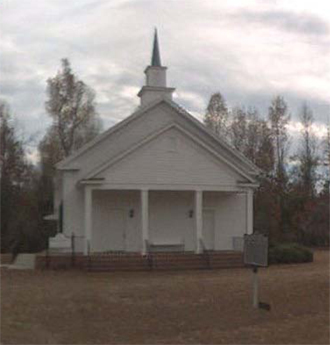
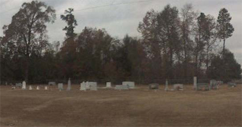
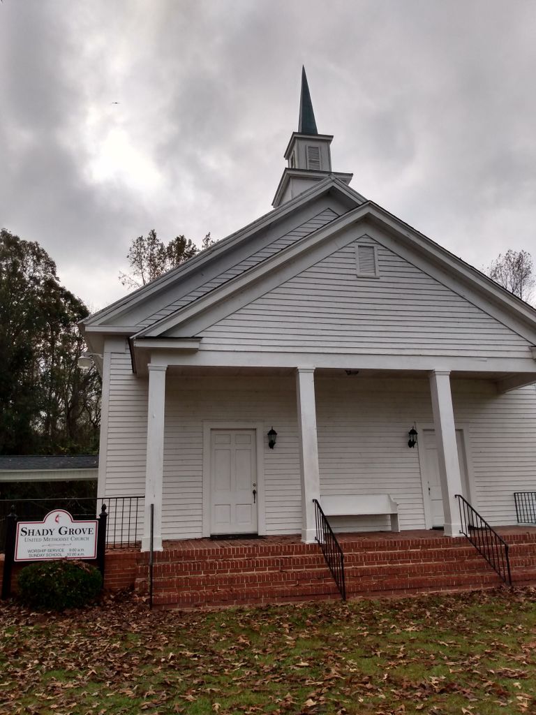
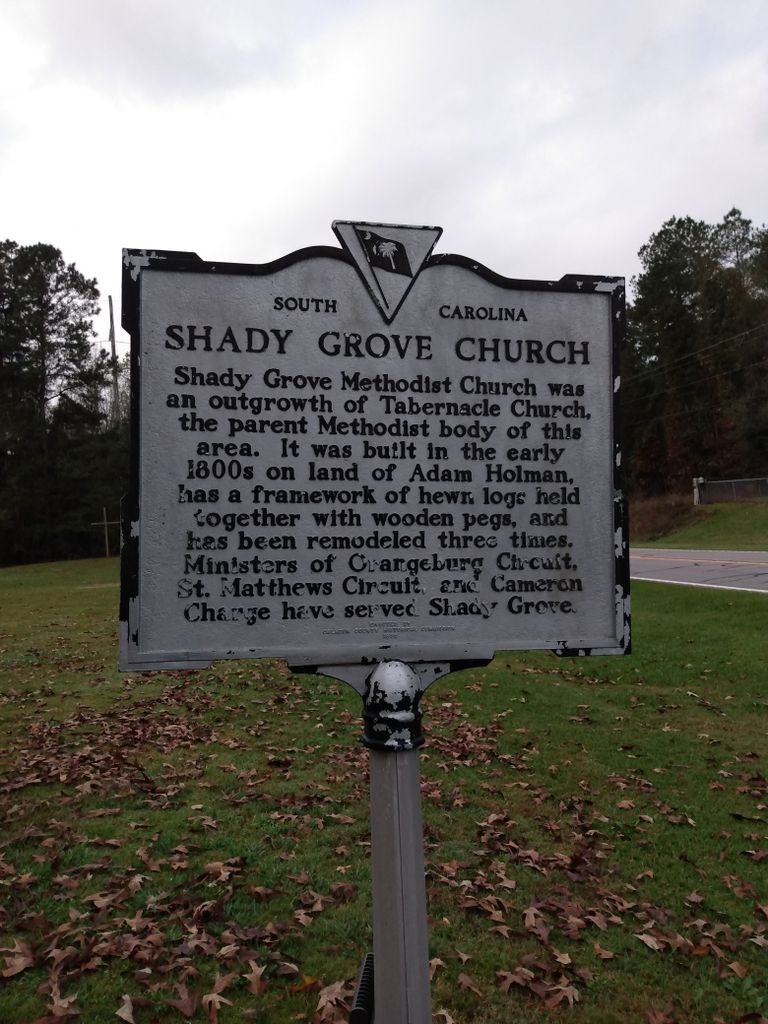
| Location | : | Cameron, Calhoun County, USA |
| Coordinate | : | 33.5896560, -80.6767060 |
| Description | : | Cemetery is across the street from the church, on Cameron Rd. |
frequently asked questions (FAQ):
-
Where is Shady Grove Methodist Church Cemetery?
Shady Grove Methodist Church Cemetery is located at Cameron Rd. Cameron, Calhoun County ,South Carolina , 29030USA.
-
Shady Grove Methodist Church Cemetery cemetery's updated grave count on graveviews.com?
0 memorials
-
Where are the coordinates of the Shady Grove Methodist Church Cemetery?
Latitude: 33.5896560
Longitude: -80.6767060
Nearby Cemetories:
1. Rast Cemetery
Calhoun County, USA
Coordinate: 33.6121000, -80.6631660
2. Saint Paul AME Church Cemetery
Creston, Calhoun County, USA
Coordinate: 33.6137640, -80.6624160
3. Saint Matthews Lutheran Church
Saint Matthews, Calhoun County, USA
Coordinate: 33.6175190, -80.6719850
4. Saint John Baptist Church Cemetery
Cameron, Calhoun County, USA
Coordinate: 33.5524440, -80.6947010
5. Cameron Baptist Church
Cameron, Calhoun County, USA
Coordinate: 33.5607180, -80.7142490
6. Cameron Memorial Cemetery
Cameron, Calhoun County, USA
Coordinate: 33.5510000, -80.7150000
7. Shiloh Baptist Church Cemetery
Saint Matthews, Calhoun County, USA
Coordinate: 33.6077410, -80.7335570
8. Zimmerman Cemetery
Cameron, Calhoun County, USA
Coordinate: 33.5831700, -80.7386920
9. Mount Zion AME Church Cemetery
Creston, Calhoun County, USA
Coordinate: 33.5689940, -80.6151050
10. Mount Lebanon Cemetery
Cameron, Calhoun County, USA
Coordinate: 33.5377190, -80.7022080
11. East Bethel United Methodist Church Cemetery
Saint Matthews, Calhoun County, USA
Coordinate: 33.6350770, -80.6353840
12. Jericho Methodist Church Cemetery
Cameron, Calhoun County, USA
Coordinate: 33.5330010, -80.6625040
13. Moorer Family Cemetery
Saint Matthews, Calhoun County, USA
Coordinate: 33.5841467, -80.7477312
14. Providence AME Church Cemetery
Saint Matthews, Calhoun County, USA
Coordinate: 33.6153790, -80.7440400
15. Elloree Hillcrest Cemetery
Elloree, Orangeburg County, USA
Coordinate: 33.5608720, -80.6099720
16. Saint Luke A.M.E. Church Cemetery
Lone Star, Calhoun County, USA
Coordinate: 33.6415340, -80.6286180
17. Moorer Plantation Cemetery
Calhoun County, USA
Coordinate: 33.5927130, -80.7563940
18. Nicholas Rickenbacker Burial Ground
Cameron, Calhoun County, USA
Coordinate: 33.5654750, -80.7517170
19. John Rickenbaker Burial Ground
Orangeburg, Orangeburg County, USA
Coordinate: 33.5654750, -80.7517170
20. Brown Chapel AME Church Cemetery
Calhoun County, USA
Coordinate: 33.5255490, -80.6531950
21. Brown Chapel AME Church Cemetery
Elloree, Orangeburg County, USA
Coordinate: 33.5253550, -80.6530780
22. Tilley Family Cemetery
Cameron, Calhoun County, USA
Coordinate: 33.5229709, -80.6925653
23. Samuel E. Rickenbaker Family Cemetery
Orangeburg, Orangeburg County, USA
Coordinate: 33.5382380, -80.7307577
24. Mount Carmel Baptist Church Cemetery
Cameron, Calhoun County, USA
Coordinate: 33.5671850, -80.7543290