| Memorials | : | 1 |
| Location | : | Deersville, Harrison County, USA |
| Coordinate | : | 40.2951590, -81.2004320 |
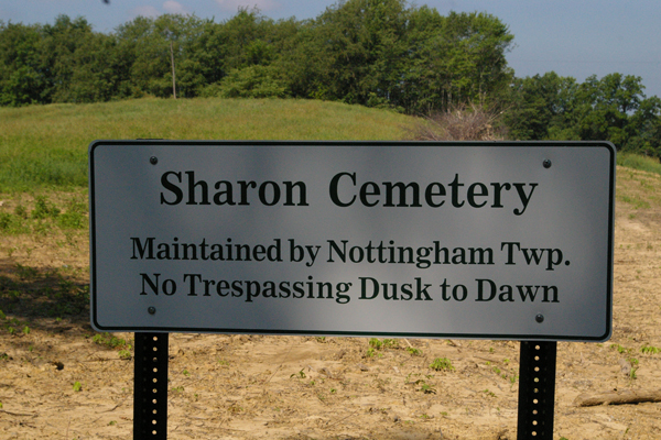
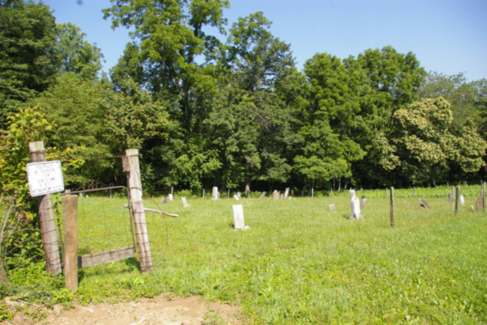
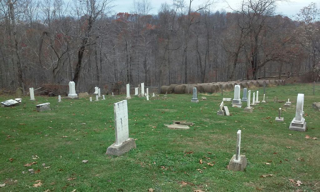
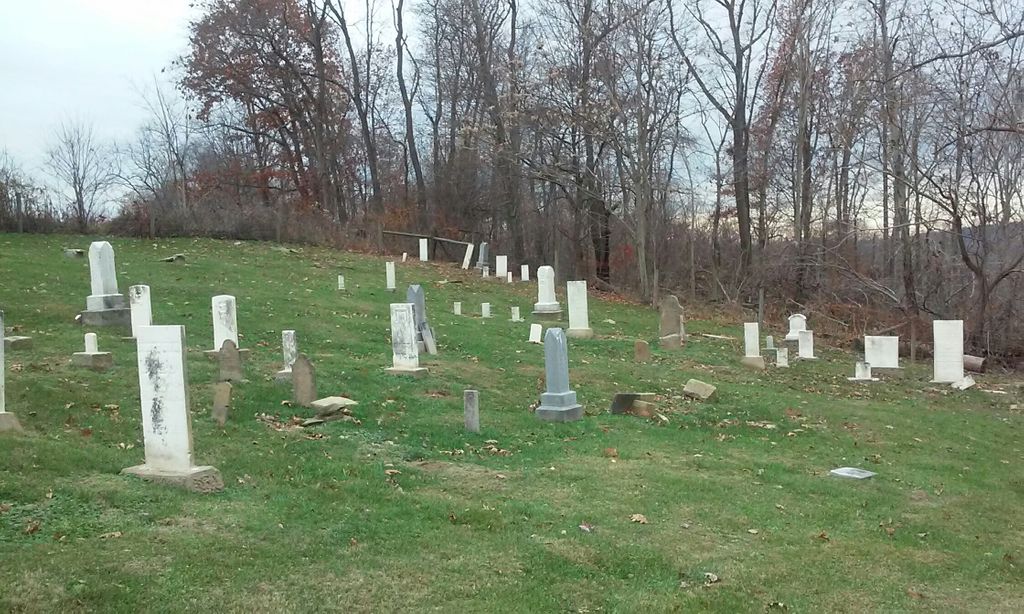
| Description | : | The cemetery is located south of Deersville about 750 feet miles west of Adams Road (Township Road 303) about 0.9 miles south of its intersection with Moravian Trail Road (County Road 2). The cemetery was established in 1827 and is 0.264 acres in size. The cemetery is located in Washington Township, Harrison County, Ohio, and is # 5035 (Seceder Cemetery / Sharon Cemetery / Sharon Congregation Cemetery) in “Ohio Cemeteries 1803-2003”, compiled by the Ohio Genealogical Society. |
frequently asked questions (FAQ):
-
Where is Sharon Cemetery?
Sharon Cemetery is located at Adams Road (Township Road 303) Deersville, Harrison County ,Ohio , 44699USA.
-
Sharon Cemetery cemetery's updated grave count on graveviews.com?
1 memorials
-
Where are the coordinates of the Sharon Cemetery?
Latitude: 40.2951590
Longitude: -81.2004320
Nearby Cemetories:
1. Patterson Union Cemetery
Deersville, Harrison County, USA
Coordinate: 40.3065590, -81.1917190
2. Deersville Cemetery
Deersville, Harrison County, USA
Coordinate: 40.3084750, -81.1919160
3. McGee Cemetery
Deersville, Harrison County, USA
Coordinate: 40.3083390, -81.1642000
4. Old Bethel Cemetery
Freeport, Harrison County, USA
Coordinate: 40.2645620, -81.1783890
5. New Bethel Cemetery
Harrison County, USA
Coordinate: 40.2729850, -81.1650780
6. McConnell Cemetery
Tippecanoe, Harrison County, USA
Coordinate: 40.2844400, -81.2504100
7. Layport Cemetery
Deersville, Harrison County, USA
Coordinate: 40.3265110, -81.1513070
8. Old Pleasant Valley Cemetery (Defunct)
Deersville, Harrison County, USA
Coordinate: 40.3313960, -81.1525640
9. Chapel Cemetery
Deersville, Harrison County, USA
Coordinate: 40.3111000, -81.2656021
10. Pleasant Valley Cemetery
Deersville, Harrison County, USA
Coordinate: 40.3307991, -81.1500015
11. Myers Cemetery
Harrison County, USA
Coordinate: 40.3030850, -81.2754110
12. Minksville Cemetery
Cadiz, Harrison County, USA
Coordinate: 40.2605800, -81.1370800
13. Tappan Cemetery
Harrison County, USA
Coordinate: 40.3581009, -81.2078018
14. Feed Springs Cemetery
Feed Springs, Harrison County, USA
Coordinate: 40.3485100, -81.2543600
15. Mount Zion African Methodist Episcopal Cemetery
Conotton, Harrison County, USA
Coordinate: 40.3598990, -81.1733160
16. Jenkins Cemetery
Freeport, Harrison County, USA
Coordinate: 40.2414017, -81.2557983
17. Pugh-Kent Cemetery
Cassville, Harrison County, USA
Coordinate: 40.2505000, -81.1282500
18. Mount Hope Cemetery
Tappan, Harrison County, USA
Coordinate: 40.3466400, -81.1237360
19. Lees Run Cemetery
Harrison County, USA
Coordinate: 40.2644005, -81.1016998
20. Lima Church Cemetery
Stillwater, Tuscarawas County, USA
Coordinate: 40.3115880, -81.3067110
21. Mayes Cemetery
Harrison County, USA
Coordinate: 40.2793999, -81.3088989
22. Beaver Valley Cemetery
Monroe Township, Harrison County, USA
Coordinate: 40.3779100, -81.1703860
23. Plum Run Cemetery
Bowerston, Harrison County, USA
Coordinate: 40.3819008, -81.2294006
24. Plum Run Hill Top Cemetery
Harrison County, USA
Coordinate: 40.3814011, -81.2324982


