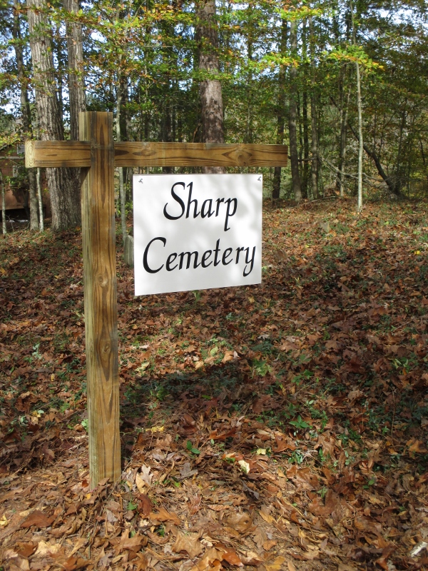
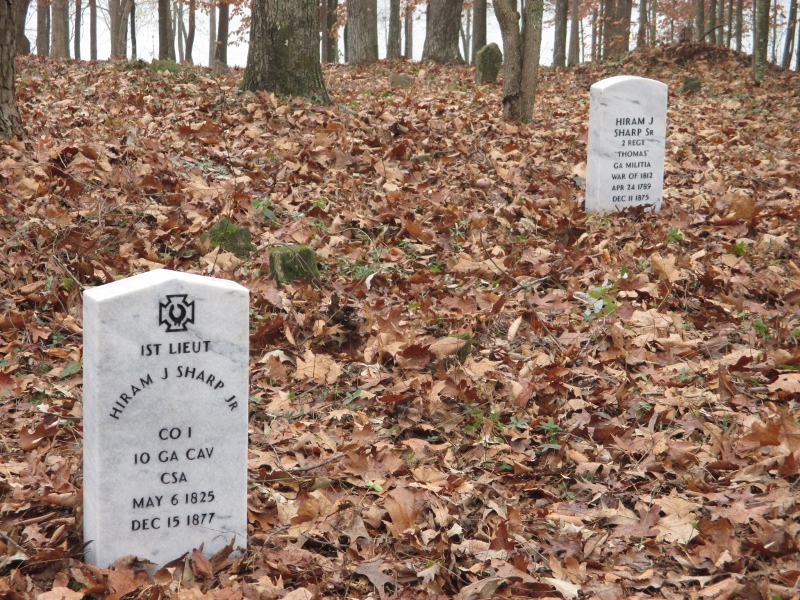
| Memorials | : | 0 |
| Location | : | Carrollton, Carroll County, USA |
| Coordinate | : | 33.6419020, -85.0527730 |
| Description | : | The Sharp Cemetery is located approx. 3.5 miles from Mike Bell Chevrolet on N. Hwy. 113 at house # 1696. A stone and steel gate is located at the entrance to the cemetery. The cemetery is located approx. 250 yards from Hwy. 113. The Sharp Cemetery was established in April 1837 with the death of Emily Sharp, infant daughter of Hiram & Sarah Sharp, Sr. On August 27, 1901, the cemetery was protected, when one acre located in the 5th land district of Carroll County in land Lot No. 240 was deeded to five members of the Sharp family listed as... Read More |
frequently asked questions (FAQ):
-
Where is Sharp Cemetery?
Sharp Cemetery is located at Carrollton, Carroll County ,Georgia ,USA.
-
Sharp Cemetery cemetery's updated grave count on graveviews.com?
0 memorials
-
Where are the coordinates of the Sharp Cemetery?
Latitude: 33.6419020
Longitude: -85.0527730
Nearby Cemetories:
1. Green Cemetery
Carrollton, Carroll County, USA
Coordinate: 33.6490470, -85.0514100
2. Church at Carrollton Cemetery
Abilene, Carroll County, USA
Coordinate: 33.6493988, -85.0505981
3. Old Concord Cemetery
Carroll County, USA
Coordinate: 33.6391500, -85.0620000
4. Hamrick Cemetery
Carrollton, Carroll County, USA
Coordinate: 33.6316470, -85.0626000
5. Concord Primitive Baptist Church Cemetery
Carrollton, Carroll County, USA
Coordinate: 33.6302223, -85.0630264
6. Kingsberry Cemetery
Carrollton, Carroll County, USA
Coordinate: 33.6283960, -85.0647250
7. Our Lady of Perpetual Help Cemetery
Carrollton, Carroll County, USA
Coordinate: 33.6631012, -85.0505981
8. Shady Grove Baptist Church Cemetery
Carroll County, USA
Coordinate: 33.6408005, -85.0222015
9. Spence-Rowe Cemetery
Carroll County, USA
Coordinate: 33.6650009, -85.0674973
10. Agape of God Ministries Cemetery
Carrollton, Carroll County, USA
Coordinate: 33.6156390, -85.0458580
11. McMullen-Williamson Cemetery
Carroll County, USA
Coordinate: 33.6702995, -85.0325012
12. Pleasant Ridge Cemetery
Carroll County, USA
Coordinate: 33.6594009, -85.0868988
13. Drew Cemetery
Carroll County, USA
Coordinate: 33.6763670, -85.0654330
14. Shiloh Baptist Church Cemetery
Carroll County, USA
Coordinate: 33.6068993, -85.0278015
15. Merrell Cemetery
Carrollton, Carroll County, USA
Coordinate: 33.6063900, -85.0814400
16. Barksdale-Wooten Cemetery
Carrollton, Carroll County, USA
Coordinate: 33.6040040, -85.0794120
17. Smith-Upshaw Cemetery
Temple, Carroll County, USA
Coordinate: 33.6686100, -85.0090990
18. Center Point United Methodist Church Cemetery
Temple, Carroll County, USA
Coordinate: 33.6864014, -85.0625000
19. Grace Lutheran Church Memorial Garden
Carrollton, Carroll County, USA
Coordinate: 33.5958540, -85.0395500
20. Creel-Matthews Family Cemetery
Carrollton, Carroll County, USA
Coordinate: 33.6072900, -85.0926300
21. Bethany Christian Church Cemetery
Carrollton, Carroll County, USA
Coordinate: 33.6239014, -84.9953003
22. Jordan Memorial Cemetery
Carroll County, USA
Coordinate: 33.6200500, -84.9959800
23. Concord United Methodist Church Cemetery
Carrollton, Carroll County, USA
Coordinate: 33.6763900, -85.0006400
24. McPherson-Tillman Cemetery
Mandeville, Carroll County, USA
Coordinate: 33.6748100, -85.1067710


