
| Memorials | : | 12 |
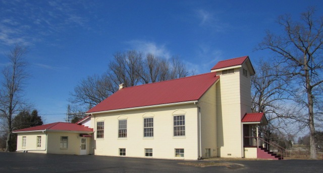
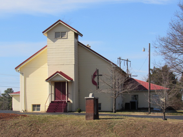
| Location | : | Bremen, Muhlenberg County, USA |
| Coordinate | : | 37.3435110, -87.2217460 |
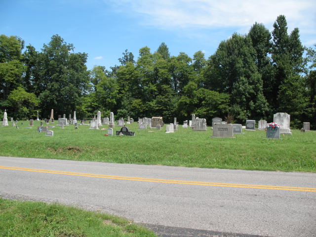
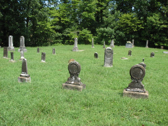
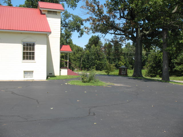
| Description | : | This cemetery has two parts. The old part is on the north side of State Route 181. All record and some tombstone are missing. The new part is on the south side (or church side) of State Route 181. |
frequently asked questions (FAQ):
-
Where is Shaver's Chapel United Methodist Church Cemetery?
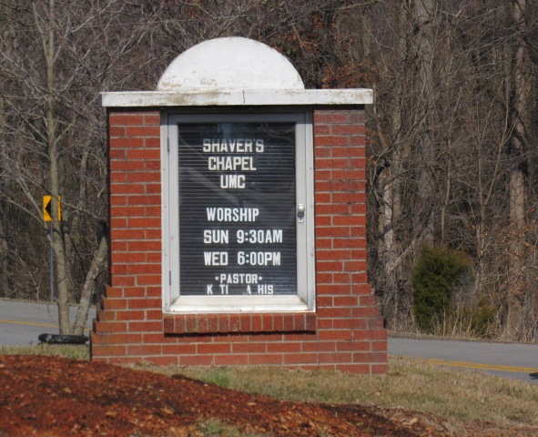
Shaver's Chapel United Methodist Church Cemetery is located at 5115 State Route 181 Bremen, Muhlenberg County ,Kentucky , 42325USA.
-
Shaver's Chapel United Methodist Church Cemetery cemetery's updated grave count on graveviews.com?
12 memorials
-
Where are the coordinates of the Shaver's Chapel United Methodist Church Cemetery?
Latitude: 37.3435110
Longitude: -87.2217460
Nearby Cemetories:
1. Gish Cemetery
Bremen, Muhlenberg County, USA
Coordinate: 37.3650017, -87.2005997
2. Bethlehem Cemetery
Bremen, Muhlenberg County, USA
Coordinate: 37.3661003, -87.2416992
3. New Bethleham Cemetery
Bremen, Muhlenberg County, USA
Coordinate: 37.3663030, -87.2415730
4. Old Shiloh Cemetery
Bremen, Muhlenberg County, USA
Coordinate: 37.3436180, -87.2628590
5. New Harmony Cemetery
Bremen, Muhlenberg County, USA
Coordinate: 37.3105820, -87.2169890
6. Mount Pisgah Church Cemetery
Bremen, Muhlenberg County, USA
Coordinate: 37.3207630, -87.2526290
7. Shavers Cemetery
Lynn City, Muhlenberg County, USA
Coordinate: 37.3828011, -87.2478027
8. Cedar Grove Cemetery
Midland, Muhlenberg County, USA
Coordinate: 37.2931400, -87.2390000
9. Brier Creek Cemetery
Bremen, Muhlenberg County, USA
Coordinate: 37.3343890, -87.2873050
10. Carneal Cemetery
Muhlenberg County, USA
Coordinate: 37.3069740, -87.1588750
11. Coleman Cemetery #2
Central City, Muhlenberg County, USA
Coordinate: 37.3072500, -87.1585900
12. Old Bethel Cemetery
Greenville, Muhlenberg County, USA
Coordinate: 37.2821500, -87.2081850
13. Cherry Hill Cemetery
Central City, Muhlenberg County, USA
Coordinate: 37.2947900, -87.1669500
14. Coleman Cemetery
Muhlenberg County, USA
Coordinate: 37.2799988, -87.1793976
15. Kirtley Kittinger Cemetery
Muhlenberg County, USA
Coordinate: 37.3959389, -87.1507568
16. Moorman Cemetery
Moorman, Muhlenberg County, USA
Coordinate: 37.3830986, -87.1376343
17. East Union Cemetery
Graham, Muhlenberg County, USA
Coordinate: 37.2855993, -87.2922191
18. New Hope Cemetery
Moorman, Muhlenberg County, USA
Coordinate: 37.3983002, -87.1464005
19. Sacramento United Methodist Church Cemetery
Sacramento, McLean County, USA
Coordinate: 37.4185700, -87.2659800
20. Cumberland Presbyterian Church Cemetery
Sacramento, McLean County, USA
Coordinate: 37.4203770, -87.2648590
21. Antioch Cemetery
Midland, Muhlenberg County, USA
Coordinate: 37.3011110, -87.3166670
22. Kincheloes Bluff Cemetery
Central City, Muhlenberg County, USA
Coordinate: 37.3210983, -87.1153030
23. Free Union Cemetery
Sacramento, McLean County, USA
Coordinate: 37.4216995, -87.2742004
24. Cypress Cemetery
New Cypress, Muhlenberg County, USA
Coordinate: 37.2532997, -87.2238998