
| Memorials | : | 34 |
| Location | : | Warsaw, Benton County, USA |
| Coordinate | : | 38.2550000, -93.4020000 |
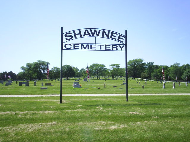
| Description | : | Cemetery directions: From Warsaw, Missouri, travel west on MO Route 7, across the first bridge; in one mile turn right onto the first cross street, W. Dam Access Rd; in 0.5 mile turn left on Shawnee Bend Rd.; then turn right on SW 790 Bc. The cemetery is on the right side of the road. History: The Shawnee Cemetery did not exist before the construction of the Harry S. Truman Dam and Reservoir at Warsaw, Missouri. As part of the Dam and Reservoir Project, the Corp of Engineers moved cemeteries and private graves located below the projected flood level. Land was... Read More |
frequently asked questions (FAQ):
-
Where is Shawnee Cemetery?
Shawnee Cemetery is located at Warsaw, Benton County ,Missouri ,USA.
-
Shawnee Cemetery cemetery's updated grave count on graveviews.com?
31 memorials
-
Where are the coordinates of the Shawnee Cemetery?
Latitude: 38.2550000
Longitude: -93.4020000
Nearby Cemetories:
1. Stewart Cemetery (Defunct)
Warsaw, Benton County, USA
Coordinate: 38.2647018, -93.4060974
2. Riverside Cemetery
Warsaw, Benton County, USA
Coordinate: 38.2531013, -93.3867035
3. Dice Cemetery
Warsaw, Benton County, USA
Coordinate: 38.2658005, -93.3827972
4. Balliette Cemetery (Defunct)
Warsaw, Benton County, USA
Coordinate: 38.2327995, -93.4075012
5. Warsaw City Cemetery
Warsaw, Benton County, USA
Coordinate: 38.2397500, -93.3704200
6. National Cemetery
Warsaw, Benton County, USA
Coordinate: 38.2291100, -93.4472200
7. Poe Cemetery
Benton County, USA
Coordinate: 38.3116989, -93.4077988
8. Drake Cemetery
Benton County, USA
Coordinate: 38.3041992, -93.3638992
9. Kinkead Cemetery
Warsaw, Benton County, USA
Coordinate: 38.3122635, -93.3895111
10. Cooper Cemetery (Defunct)
Benton County, USA
Coordinate: 38.2661018, -93.4756012
11. Downing Cemetery (Defunct)
Benton County, USA
Coordinate: 38.2963982, -93.4589005
12. Peal Bend Cemetery (Defunct)
Benton County, USA
Coordinate: 38.1836014, -93.4124985
13. Gregory Cemetery
Benton County, USA
Coordinate: 38.3330994, -93.4135971
14. White Cemetery
Benton County, USA
Coordinate: 38.1871986, -93.3452988
15. Smith Cemetery
Benton County, USA
Coordinate: 38.1963997, -93.3296967
16. Vance Cemetery
Benton County, USA
Coordinate: 38.1758003, -93.3707962
17. Shady Grove Cemetery
Racket, Benton County, USA
Coordinate: 38.2964700, -93.4970000
18. Hogles Creek (defunct)
Warsaw, Benton County, USA
Coordinate: 38.1805200, -93.4554000
19. Poplar Cemetery
Warsaw, Benton County, USA
Coordinate: 38.3035000, -93.3104300
20. Fredonia Cemetery
Benton County, USA
Coordinate: 38.2517300, -93.2882600
21. Crabtree Cemetery
Fristoe, Benton County, USA
Coordinate: 38.1657982, -93.3811035
22. Feaster Cemetery
Benton County, USA
Coordinate: 38.2860985, -93.2906036
23. Osborn Cemetery
Benton County, USA
Coordinate: 38.3142014, -93.4946976
24. Summers Family Burial Grounds
Racket, Benton County, USA
Coordinate: 38.3196000, -93.4891900