
| Memorials | : | 0 |
| Location | : | Arkadelphia, Cullman County, USA |
| Coordinate | : | 33.8732600, -86.9242900 |
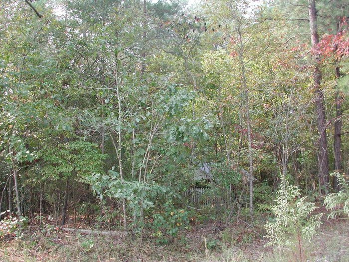
| Description | : | Township 13 South, Range 4 West, Section 26. Location: At the Blount Springs exit on I65, go southwest on County Road 5 about five miles to the four way stop, turn right on CR35, cross the Mulberry Fork River bridge and look for the black, iron fence and gate on the highway to the right about 200 yards or so from the bridge. The cemetery is located on private property as of about 2010. Permission must be obtained to access the cemetery. Inside the gate there is a dirt tack that leads for about a quarter mile into the... Read More |
frequently asked questions (FAQ):
-
Where is Shiloh Methodist Church Cemetery?
Shiloh Methodist Church Cemetery is located at 8617 Cty. Road 35 Arkadelphia, Cullman County ,Alabama , 35033USA.
-
Shiloh Methodist Church Cemetery cemetery's updated grave count on graveviews.com?
0 memorials
-
Where are the coordinates of the Shiloh Methodist Church Cemetery?
Latitude: 33.8732600
Longitude: -86.9242900
Nearby Cemetories:
1. Red Hill Church Of God Cemetery
Hayden, Blount County, USA
Coordinate: 33.8627930, -86.9201500
2. Harmony Baptist Church Cemetery
Sloan, Blount County, USA
Coordinate: 33.8518982, -86.9456024
3. Arkadelphia Cemetery
Arkadelphia, Cullman County, USA
Coordinate: 33.9063988, -86.9614029
4. Sulphur Springs Cemetery
Blount County, USA
Coordinate: 33.9015007, -86.8774033
5. Mount Zion Baptist Church Cemetery
Corner, Jefferson County, USA
Coordinate: 33.8224220, -86.9159927
6. Valley View Baptist Church Cemetery
Cullman County, USA
Coordinate: 33.9105480, -86.9672900
7. County Line-New Zion Hill Church Cemetery
Corner, Jefferson County, USA
Coordinate: 33.8064041, -86.9279480
8. Reid's Gap Cemetery
Smoke Rise, Blount County, USA
Coordinate: 33.8810290, -86.8439410
9. Bethesda Church of Christ Cemetery
Hanceville, Cullman County, USA
Coordinate: 33.9255981, -86.9792023
10. Phillips Cemetery
Creel, Walker County, USA
Coordinate: 33.8471985, -87.0093994
11. Little Vine Cemetery
Creel, Walker County, USA
Coordinate: 33.8157020, -86.9834910
12. Colony Cemetery
Cullman County, USA
Coordinate: 33.9426770, -86.8876400
13. Fairview Baptist Church in the Colony
Hanceville, Cullman County, USA
Coordinate: 33.9429890, -86.8872820
14. New Canaan Cemetery
Creel, Walker County, USA
Coordinate: 33.8344002, -87.0033035
15. Ricetown Cemetery
Blount Springs, Blount County, USA
Coordinate: 33.9317017, -86.8514023
16. Sapp Cemetery
Arkadelphia, Cullman County, USA
Coordinate: 33.9449390, -86.8711290
17. Brewer Cemetery
Jefferson County, USA
Coordinate: 33.7999992, -86.8711014
18. Empire Memorial Cemetery
Empire, Walker County, USA
Coordinate: 33.8105888, -86.9978409
19. Empire Cemetery
Empire, Walker County, USA
Coordinate: 33.8109200, -86.9995200
20. Mount Joy Missionary Baptist Church Cemetery
Bremen, Cullman County, USA
Coordinate: 33.9589005, -86.9507980
21. Corinth Church of Christ Cemetery
Bremen, Cullman County, USA
Coordinate: 33.9126000, -87.0223000
22. Stewarts Chapel Methodist Cemetery
Hayden, Blount County, USA
Coordinate: 33.8549995, -86.8061981
23. Henson-Lenir Cemetery
York Mountain, Walker County, USA
Coordinate: 33.7924200, -86.9981930
24. Mount Hope Baptist Church Cemetery
Campbellville, Walker County, USA
Coordinate: 33.8847650, -87.0460300