
| Memorials | : | 0 |
| Location | : | Renville County, USA |
| Coordinate | : | 48.5419273, -101.3651505 |
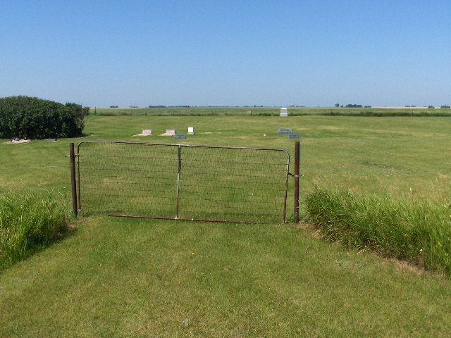
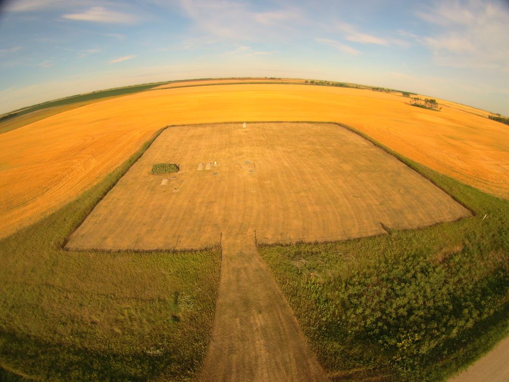
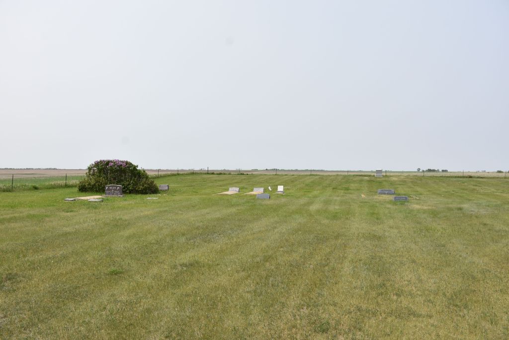
| Description | : | Located in Van Buren Township. It is located between Lansford (Bottineau County) and Glenburn (Renville County). |
frequently asked questions (FAQ):
-
Where is Shook Cemetery?
Shook Cemetery is located at Renville County ,North Dakota ,USA.
-
Shook Cemetery cemetery's updated grave count on graveviews.com?
0 memorials
-
Where are the coordinates of the Shook Cemetery?
Latitude: 48.5419273
Longitude: -101.3651505
Nearby Cemetories:
1. Lansford Cemetery
Lansford, Bottineau County, USA
Coordinate: 48.6189003, -101.3867035
2. Saint Johns Cemetery
Lansford, Bottineau County, USA
Coordinate: 48.6314011, -101.3961029
3. Saint Philomena Catholic Cemetery
Glenburn, Renville County, USA
Coordinate: 48.5110168, -101.2291183
4. Fairview Cemetery
Glenburn, Renville County, USA
Coordinate: 48.5099983, -101.2288971
5. Saint Henrys Cemetery
Renville County, USA
Coordinate: 48.4846992, -101.5108032
6. Lynch Immanuel Lutheran Church Cemetery
Ward County, USA
Coordinate: 48.4293213, -101.3009720
7. Bethany Lutheran Cemetery
Minot, Ward County, USA
Coordinate: 48.4294000, -101.2133000
8. Grano Cemetery
Grano, Renville County, USA
Coordinate: 48.6136017, -101.6038971
9. Our Saviors Cemetery
Eckman, Bottineau County, USA
Coordinate: 48.5459500, -101.1025900
10. Emmanuel Lutheran Cemetery
Ruthville, Ward County, USA
Coordinate: 48.3562851, -101.3823090
11. Wolff Family Cemetery
Ruthville, Ward County, USA
Coordinate: 48.3557300, -101.3768800
12. Nazareth Lutheran Cemetery
Renville County, USA
Coordinate: 48.4733180, -101.6480450
13. Nidaros Lutheran Cemetery
Wolseth, Ward County, USA
Coordinate: 48.4438000, -101.0962000
14. Renville Cemetery
Renville, Bottineau County, USA
Coordinate: 48.7485900, -101.3220700
15. Saint Marys Cemetery
Foxholm, Ward County, USA
Coordinate: 48.3717003, -101.5556030
16. Trinity Lutheran Cemetery
Minot, Ward County, USA
Coordinate: 48.3408051, -101.2533188
17. Grueneberg Family Cemetery
Minot, Ward County, USA
Coordinate: 48.3268600, -101.3450600
18. Des Lacs Valley Cemetery
Carpio, Ward County, USA
Coordinate: 48.4011200, -101.6208900
19. Riverside Cemetery
Eckman, Bottineau County, USA
Coordinate: 48.6315117, -101.0602493
20. Gethsemane Cemetery
Carpio, Ward County, USA
Coordinate: 48.5747261, -101.7124481
21. Mohall Cemetery
Cut Bank Township, Bottineau County, USA
Coordinate: 48.7627983, -101.4850006
22. Saint Johns Cemetery
Carpio, Ward County, USA
Coordinate: 48.4425011, -101.6980972
23. Graceland Cemetery
Maxbass, Bottineau County, USA
Coordinate: 48.7344017, -101.1363983
24. Sunset Memorial Gardens
Minot, Ward County, USA
Coordinate: 48.2997017, -101.2977982