
| Memorials | : | 12 |
| Location | : | Sierra Madre, Los Angeles County, USA |
| Coordinate | : | 34.1620290, -118.0417850 |
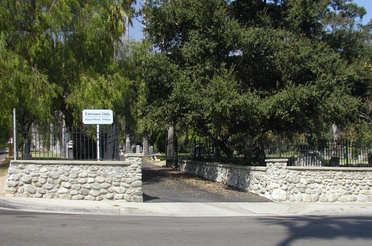
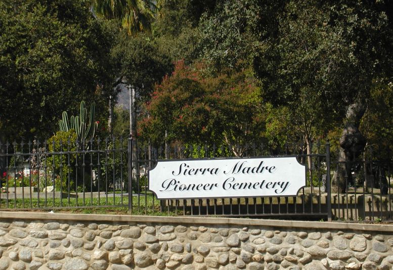
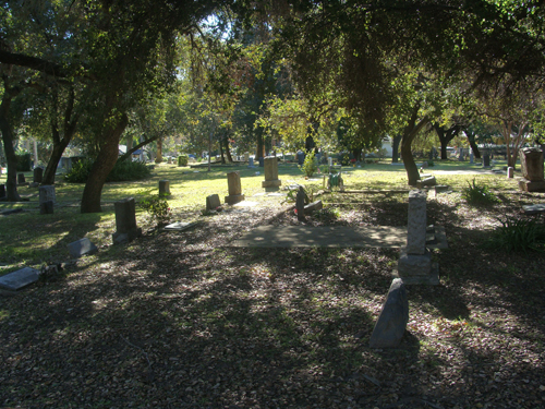
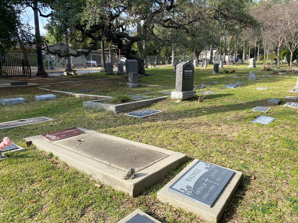
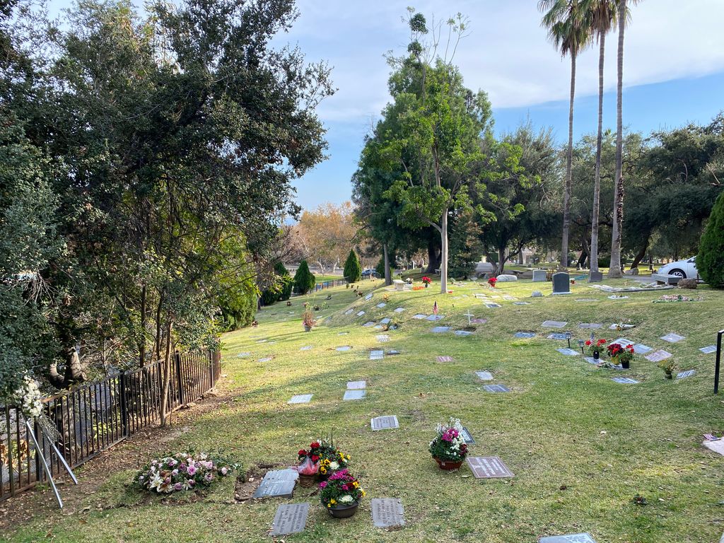
| Description | : | Hours: 8:00am – 5:00pm The Sierra Madre Pioneer Cemetery was established in 1881, and the first burial was in 1884. Many of the original founding families of Sierra Madre are buried here, as are veterans from the Civil War to Vietnam. For much of the 20th Century, administration of the cemetery was sporadic. A new Sierra Madre Cemetery Association was organized in 1961, and is responsible for maintaining the cemetery today. While burial records are somewhat incomplete, attempts are underway to recreate as much detail as possible. A small area for new cremains has been opened, and a computerized... Read More |
frequently asked questions (FAQ):
-
Where is Sierra Madre Pioneer Cemetery?
Sierra Madre Pioneer Cemetery is located at 553 E. Sierra Madre Blvd. Sierra Madre, Los Angeles County ,California , 91024USA.
-
Sierra Madre Pioneer Cemetery cemetery's updated grave count on graveviews.com?
10 memorials
-
Where are the coordinates of the Sierra Madre Pioneer Cemetery?
Latitude: 34.1620290
Longitude: -118.0417850
Nearby Cemetories:
1. Episcopal Church of the Ascension Memorial Garden
Sierra Madre, Los Angeles County, USA
Coordinate: 34.1659355, -118.0518723
2. Mater Dolorosa Passionist Retreat Center Cemetery
Sierra Madre, Los Angeles County, USA
Coordinate: 34.1709633, -118.0647049
3. Live Oak Memorial Park
Monrovia, Los Angeles County, USA
Coordinate: 34.1319500, -117.9960700
4. Huntington Library and Botanical Gardens Mausoleum
San Marino, Los Angeles County, USA
Coordinate: 34.1289902, -118.1135712
5. San Gabriel Cemetery
San Gabriel, Los Angeles County, USA
Coordinate: 34.1113014, -118.1086273
6. Savannah Memorial Park Cemetery
Rosemead, Los Angeles County, USA
Coordinate: 34.0811768, -118.0678177
7. San Gabriel Mission Cemetery
San Gabriel, Los Angeles County, USA
Coordinate: 34.0974998, -118.1062012
8. All Saints Episcopal Church Columbarium
Pasadena, Los Angeles County, USA
Coordinate: 34.1480293, -118.1428070
9. Mountain View Cemetery and Mausoleum
Altadena, Los Angeles County, USA
Coordinate: 34.1861000, -118.1481018
10. Lippincott Torrey and Eaton Mausoleum
Pasadena, Los Angeles County, USA
Coordinate: 34.1444984, -118.1504677
11. Saint James Episcopal Church Memorial Garden
South Pasadena, Los Angeles County, USA
Coordinate: 34.1116500, -118.1535400
12. Brown Mountain Grave Site
Altadena, Los Angeles County, USA
Coordinate: 34.2161400, -118.1612160
13. Church of the Angels Mausoleum
Pasadena, Los Angeles County, USA
Coordinate: 34.1255600, -118.1761400
14. Fairmount Cemetery
Glendora, Los Angeles County, USA
Coordinate: 34.1407661, -117.8892365
15. Resurrection Cemetery
Montebello, Los Angeles County, USA
Coordinate: 34.0429993, -118.1007004
16. Saint Georges Church Peace Garden
La Cañada Flintridge, Los Angeles County, USA
Coordinate: 34.2021700, -118.1960800
17. Saint Marthas Episcopal Church Columbarium
Covina, Los Angeles County, USA
Coordinate: 34.0655300, -117.9165200
18. Holy Trinity Episcopal Church Memorial Garden
Covina, Los Angeles County, USA
Coordinate: 34.0865900, -117.8922300
19. Oakdale Memorial Park
Glendora, Los Angeles County, USA
Coordinate: 34.1121330, -117.8758698
20. Colby Ranch Cemetery
Palmdale, Los Angeles County, USA
Coordinate: 34.2986200, -118.1115100
21. Rose Hills Memorial Park
Whittier, Los Angeles County, USA
Coordinate: 34.0139900, -118.0253400
22. El Alisal Cemetery
Highland Park, Los Angeles County, USA
Coordinate: 34.0931600, -118.2069200
23. Grace Episcopal Church Columbarium
Glendora, Los Angeles County, USA
Coordinate: 34.1382900, -117.8576000
24. Rubel Castle
Glendora, Los Angeles County, USA
Coordinate: 34.1503340, -117.8546380