
| Memorials | : | 25 |
| Location | : | Long Run, Doddridge County, USA |
| Coordinate | : | 39.2923620, -80.8647390 |
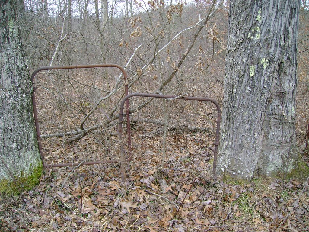
| Description | : | Take Greenwood exit off U.S. 50 drive down the bank on old U.S. 50 where you will turn right. You will pass a Motel on your left. Drive to the old B & O Railroad Crossing about 1.2 miles from Greenwod turn off. Continue on County Road 36 pass the old B.& O. Crossing for another 1.5 miles. There should be a house on your left (was painted bule). There is a brige that is cossing a small stream in front of the house. This is the former location of the Long Run School in Central District. Park here. Directly... Read More |
frequently asked questions (FAQ):
-
Where is Sigler Cemetery?
Sigler Cemetery is located at Long Run, Doddridge County ,West Virginia ,USA.
-
Sigler Cemetery cemetery's updated grave count on graveviews.com?
1 memorials
-
Where are the coordinates of the Sigler Cemetery?
Latitude: 39.2923620
Longitude: -80.8647390
Nearby Cemetories:
1. Todd Family Cemetery
Greenwood, Doddridge County, USA
Coordinate: 39.2896340, -80.8698030
2. Williamson Cemetery
Long Run, Doddridge County, USA
Coordinate: 39.2917720, -80.8751890
3. Payne Family Cemetery
Greenwood, Doddridge County, USA
Coordinate: 39.2981890, -80.8773190
4. Duckworth Cemetery
Doddridge County, USA
Coordinate: 39.2766991, -80.8683014
5. Greenwood Cemetery
Greenwood, Doddridge County, USA
Coordinate: 39.2757988, -80.8880997
6. Oak Grove Church Cemetery
Ritchie County, USA
Coordinate: 39.3120995, -80.8871078
7. Pigott Cemetery
Central Station, Doddridge County, USA
Coordinate: 39.3119011, -80.8311005
8. Jones Cemetery
Greenwood, Doddridge County, USA
Coordinate: 39.2531700, -80.8629700
9. Bartlett Cemetery
Ritchie County, USA
Coordinate: 39.3213528, -80.8994139
10. Johnston Family Cemetery
West Union, Doddridge County, USA
Coordinate: 39.2593550, -80.8331870
11. Buck Run Cemetery
Ritchie County, USA
Coordinate: 39.3078003, -80.9152985
12. Ruley Cemetery
Central Station, Doddridge County, USA
Coordinate: 39.2731018, -80.8114014
13. Arnolds Creek Cemetery
Greenwood, Doddridge County, USA
Coordinate: 39.3331380, -80.8339360
14. Broadwater Cemetery
Ritchie County, USA
Coordinate: 39.2714005, -80.9207993
15. Enoch Marsh Cemetery
Pennsboro, Ritchie County, USA
Coordinate: 39.2880200, -80.9302900
16. Sigler Cemetery
Pennsboro, Ritchie County, USA
Coordinate: 39.3088870, -80.9336500
17. Cabin Run Cemetery
West Union, Doddridge County, USA
Coordinate: 39.2361900, -80.8665000
18. Gnats Run Cemetery
Pennsboro, Ritchie County, USA
Coordinate: 39.3111700, -80.9355100
19. Masonic Memorial Park
West Union, Doddridge County, USA
Coordinate: 39.3241997, -80.7981033
20. Fleming Cemetery
West Union, Doddridge County, USA
Coordinate: 39.2621994, -80.7957993
21. Freeman-Coleman Cemetery
West Union, Doddridge County, USA
Coordinate: 39.3247604, -80.7959518
22. Cunningham Family Cemetery C-9
Pennsboro, Ritchie County, USA
Coordinate: 39.3150870, -80.9402460
23. Blockhouse Hill Cemetery
West Union, Doddridge County, USA
Coordinate: 39.2918700, -80.7698700
24. Old Seventh Day Baptist Cemetery
West Union, Doddridge County, USA
Coordinate: 39.2925670, -80.7693440