
| Memorials | : | 0 |
| Location | : | Raglesville, Daviess County, USA |
| Coordinate | : | 38.8021790, -86.9279980 |
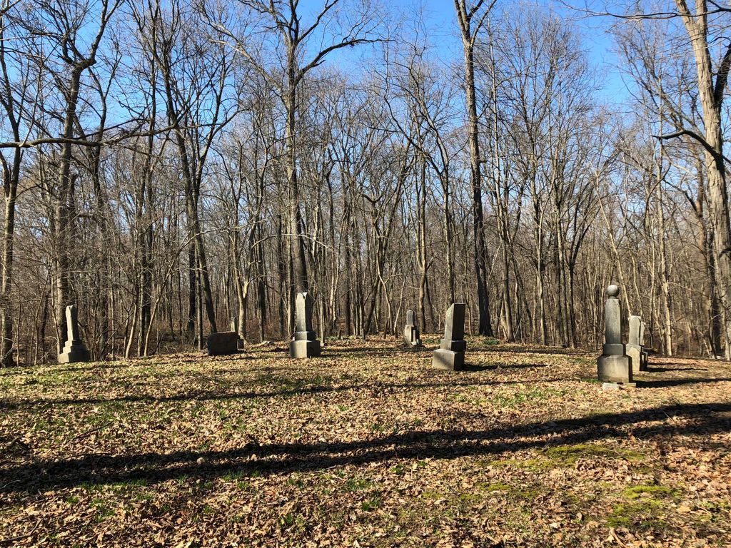
| Description | : | The cemetery is located in Van Buren Township, Daviess County (Section 11 Township 4N Range 5W) northwest of the intersection of County Road 950 N and County Road 1300 E on a knoll in a woods on a farm. Indiana Cemetery Locations, Volume 4, published by the Indiana Genealogical Society (April 2009), gives the primary cemetery name as Sims Cemetery. The cemetery is listed in the Cemetery and Burial Grounds Registry of the Indiana Department of Natural Resources (DNR) and in the State Historical Architectural and Archaeological Research Database (SHAARD) with Cemetery Record Number CR-14-70 (Sims). The... Read More |
frequently asked questions (FAQ):
-
Where is Sims Cemetery?
Sims Cemetery is located at Raglesville Road (County Road 950 N) Raglesville, Daviess County ,Indiana , 47562USA.
-
Sims Cemetery cemetery's updated grave count on graveviews.com?
0 memorials
-
Where are the coordinates of the Sims Cemetery?
Latitude: 38.8021790
Longitude: -86.9279980
Nearby Cemetories:
1. Maryfield Cemetery
Raglesville, Daviess County, USA
Coordinate: 38.8154700, -86.9288800
2. Raglesville Cemetery
Raglesville, Daviess County, USA
Coordinate: 38.8046188, -86.9616394
3. Saint Joseph Cemetery
Bramble, Martin County, USA
Coordinate: 38.7748299, -86.9090805
4. Williams Cemetery
Burns City, Martin County, USA
Coordinate: 38.8089400, -86.8824200
5. Burns City Cemetery
Burns City, Martin County, USA
Coordinate: 38.8221664, -86.8843384
6. Kilgore Cemetery
Van Buren Township, Daviess County, USA
Coordinate: 38.7881012, -86.9788971
7. Gingerich Cemetery
Madison Township, Daviess County, USA
Coordinate: 38.8379840, -86.9590420
8. Old Saint Joseph Cemetery
Crane, Martin County, USA
Coordinate: 38.7736360, -86.8837260
9. Clements Cemetery
Crane, Martin County, USA
Coordinate: 38.7678500, -86.8893000
10. Mount Olive Baptist Church Cemetery
Daviess County, USA
Coordinate: 38.8490982, -86.9379578
11. Graber Amish Cemetery
Daviess County, USA
Coordinate: 38.7842100, -86.9846800
12. Mount Zion Cemetery
Burns City, Martin County, USA
Coordinate: 38.8476790, -86.9019200
13. Bethel Mennonite Church Cemetery
Odon, Daviess County, USA
Coordinate: 38.7927120, -86.9982430
14. Faith Cemetery
Martin County, USA
Coordinate: 38.7471000, -86.9185000
15. Holt Cemetery
Martin County, USA
Coordinate: 38.8428001, -86.8724976
16. Odons Old Cemetery
Odon, Daviess County, USA
Coordinate: 38.8401700, -86.9877100
17. Franklin Cemetery
Daviess County, USA
Coordinate: 38.8083880, -87.0085050
18. Union Chapel Bunkum Cemetery
Odon, Daviess County, USA
Coordinate: 38.8596900, -86.9646000
19. Liberty Cemetery
Daviess County, USA
Coordinate: 38.7580986, -86.9933014
20. Boggs Creek Cemetery
Martin County, USA
Coordinate: 38.7957993, -86.8403015
21. Believers Fellowship Mennonite Cemetery
Raglesville, Daviess County, USA
Coordinate: 38.7367890, -86.9622670
22. Welsh Cemetery
Martin County, USA
Coordinate: 38.8252487, -86.8400040
23. Sargent Cemetery
Indian Springs, Martin County, USA
Coordinate: 38.8230130, -86.8375140
24. Mount Calvary Cemetery
Loogootee, Martin County, USA
Coordinate: 38.7306252, -86.8992920