
| Memorials | : | 0 |
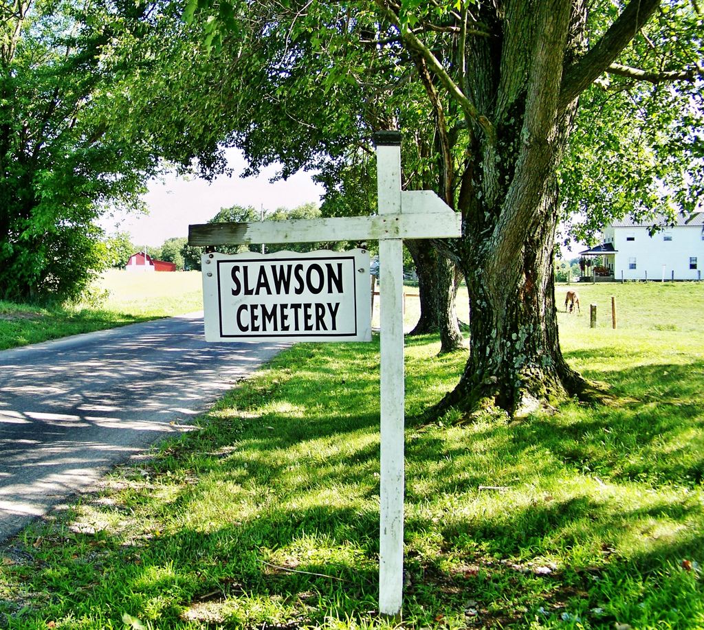
| Location | : | Bennington, Switzerland County, USA |
| Coordinate | : | 38.8445210, -85.1364040 |
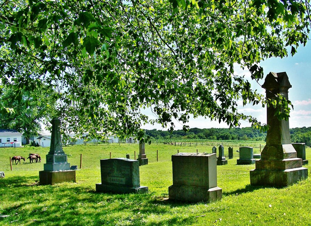
| Description | : | The cemetery is located in Pleasant Township (S half of the SE quadrant of the SE quadrant of the SE quadrant of Section 7 Township 3N Range 3W) on the west side of Bennington Pike about 0.9 miles south of its intersection with Nell Lee Road. Indiana Cemetery Locations, Volume 3, published by the Indiana Genealogical Society (April 2007), gives the primary cemetery name as Slawson Cemetery. The cemetery is listed in the Cemetery and Burial Grounds Registry of the Indiana Department of Natural Resources (DNR) and in the State Historical Architectural and Archaeological Research Database (SHAARD) with... Read More |
frequently asked questions (FAQ):
-
Where is Slawson Cemetery?
Slawson Cemetery is located at Bennington Pike Bennington, Switzerland County ,Indiana , 47043USA.
-
Slawson Cemetery cemetery's updated grave count on graveviews.com?
0 memorials
-
Where are the coordinates of the Slawson Cemetery?
Latitude: 38.8445210
Longitude: -85.1364040
Nearby Cemetories:
1. Zion Cemetery
Bennington, Switzerland County, USA
Coordinate: 38.8669205, -85.1471329
2. Drake Cemetery
Bennington, Switzerland County, USA
Coordinate: 38.8378980, -85.1013660
3. Osborn Cemetery
Fairview, Switzerland County, USA
Coordinate: 38.8731000, -85.1158000
4. Lee Methodist Cemetery
Cotton Township, Switzerland County, USA
Coordinate: 38.8594894, -85.0838776
5. Froman Cemetery
Switzerland County, USA
Coordinate: 38.8437400, -85.0801200
6. Ridge Road Cemetery
Mount Sterling, Switzerland County, USA
Coordinate: 38.8243880, -85.0852380
7. Pleasant Cemetery
Pleasant, Switzerland County, USA
Coordinate: 38.8708000, -85.1838989
8. Chapel Ridge Cemetery
Switzerland County, USA
Coordinate: 38.8903008, -85.1078033
9. Ebenezer Cemetery
Moorefield, Switzerland County, USA
Coordinate: 38.7977257, -85.1621933
10. Caledonia Cemetery
Shelby Township, Jefferson County, USA
Coordinate: 38.8349730, -85.2030090
11. Brushy Fork Baptist Cemetery
Jefferson County, USA
Coordinate: 38.8702700, -85.2031200
12. Long Run Church Cemetery
Long Run, Switzerland County, USA
Coordinate: 38.7878990, -85.1557007
13. Pelser Cemetery
Switzerland County, USA
Coordinate: 38.8899994, -85.0888977
14. Cunningham Cemetery
Switzerland County, USA
Coordinate: 38.8732605, -85.0693207
15. Pleasant Grove Cemetery
Switzerland County, USA
Coordinate: 38.8927030, -85.1849310
16. Cotton Cemetery
Mount Sterling, Switzerland County, USA
Coordinate: 38.7944412, -85.0862808
17. Skeen Cemetery
Canaan, Jefferson County, USA
Coordinate: 38.8686930, -85.2135680
18. Brown Cemetery
Mount Sterling, Switzerland County, USA
Coordinate: 38.8156960, -85.0618990
19. Old Order Amish Cemetery
Canaan, Jefferson County, USA
Coordinate: 38.8510840, -85.2210390
20. Fallis Cemetery
Mount Sterling, Switzerland County, USA
Coordinate: 38.7991870, -85.0728520
21. Fry Cemetery
Canaan, Jefferson County, USA
Coordinate: 38.8670810, -85.2179020
22. Nelson Cemetery
Mount Sterling, Switzerland County, USA
Coordinate: 38.8194170, -85.0558500
23. Mount Sterling Methodist Cemetery
Vevay, Switzerland County, USA
Coordinate: 38.7948300, -85.0725200
24. Jacksonville Cemetery
Switzerland County, USA
Coordinate: 38.8289375, -85.0480499