
| Memorials | : | 6 |
| Location | : | Gilley, Letcher County, USA |
| Coordinate | : | 36.9828640, -83.0941940 |
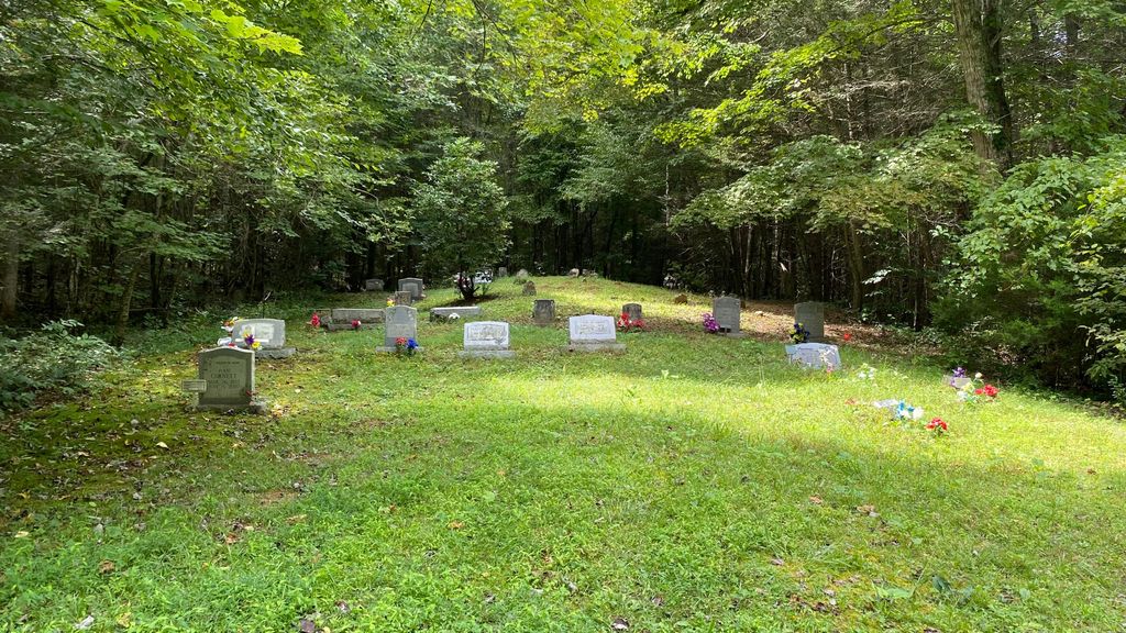
| Description | : | The Smith Cemetery is located 1/2 mile on left, 1/2 miles up mountain behind Lewis Cemetery up the first road on the left. There are 13 graves with no names. |
frequently asked questions (FAQ):
-
Where is Smith Cemetery?
Smith Cemetery is located at Gilley, Letcher County ,Kentucky ,USA.
-
Smith Cemetery cemetery's updated grave count on graveviews.com?
6 memorials
-
Where are the coordinates of the Smith Cemetery?
Latitude: 36.9828640
Longitude: -83.0941940
Nearby Cemetories:
1. Lewis Cemetery
Letcher County, USA
Coordinate: 36.9777985, -83.0896988
2. Aster Lewis Family Cemetery
Gordon, Letcher County, USA
Coordinate: 36.9825830, -83.0810500
3. Henry Cornett Cemetery
Gilley, Letcher County, USA
Coordinate: 36.9862210, -83.0736540
4. Lewis Cemetery
Leslie County, USA
Coordinate: 36.9735600, -83.1121400
5. Cornett and Gilliam Cemetery
Gordon, Letcher County, USA
Coordinate: 36.9866310, -83.0553590
6. Cornett Cemetery
Hiram, Harlan County, USA
Coordinate: 36.9566994, -83.0663986
7. Whispering Pines Cemetery
Delphia, Perry County, USA
Coordinate: 37.0175760, -83.0776850
8. Chad and Ellen Lewis Cemetery
Dione, Harlan County, USA
Coordinate: 36.9455986, -83.0849991
9. Peaceful Acres Cemetery
Hiram, Harlan County, USA
Coordinate: 36.9636500, -83.0526200
10. Frank Isom Cemetery
Hiram, Harlan County, USA
Coordinate: 36.9620080, -83.0532690
11. Luther Green Morris Family Cemetery
Hiram, Harlan County, USA
Coordinate: 36.9636860, -83.0481860
12. Lewis Family Cemetery
Hiram, Harlan County, USA
Coordinate: 36.9648400, -83.0466700
13. Stoney Fork Cemetery
Delphia, Perry County, USA
Coordinate: 37.0297680, -83.1191220
14. Hurricane Gap Cemetery
Gordon, Letcher County, USA
Coordinate: 36.9904110, -83.0256190
15. Sumpter Family Cemetery
Gordon, Letcher County, USA
Coordinate: 36.9924831, -83.0218085
16. Nolan Chapel Cemetery
Chad, Harlan County, USA
Coordinate: 36.9697660, -83.0215630
17. Louellen Cemetery
Louellen, Harlan County, USA
Coordinate: 36.9130830, -83.0887770
18. W.G. Cornett Cemetery
Leatherwood, Perry County, USA
Coordinate: 37.0485200, -83.1258200
19. Westlawn Cemetery
Cumberland, Harlan County, USA
Coordinate: 36.9727560, -83.0070430
20. Sandhill Cemetery
Cumberland, Harlan County, USA
Coordinate: 36.9739460, -83.0061210
21. Robbins Cemetery
Louellen, Harlan County, USA
Coordinate: 36.9118996, -83.1055984
22. Preston Hall Cemetery
Cumberland, Harlan County, USA
Coordinate: 36.9655991, -83.0068970
23. Clover Fork Cemetery
Leatherwood, Perry County, USA
Coordinate: 37.0473500, -83.1355400
24. Monte Vista Cemetery
Cumberland, Harlan County, USA
Coordinate: 36.9740920, -83.0018810