
| Memorials | : | 2 |
| Location | : | Snelling, Merced County, USA |
| Coordinate | : | 37.5326030, -120.4318620 |
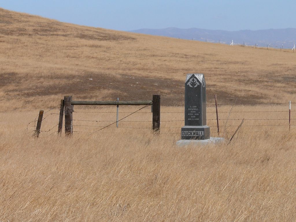
| Description | : | Also known as Snelling Ranch Cemetery. La Grange Road, north of the intersection of Merced Falls Road. It can be seen from the highway but is on private property. DO NOT ADD TO THIS CEMETERY! It has not been used since 1876 and is on private property. If you are adding to Snelling Cemetery, you should be using the one located here - Snelling Cemetery. |
frequently asked questions (FAQ):
-
Where is Snelling Pioneer Cemetery?
Snelling Pioneer Cemetery is located at La Grange Road Snelling, Merced County ,California ,USA.
-
Snelling Pioneer Cemetery cemetery's updated grave count on graveviews.com?
2 memorials
-
Where are the coordinates of the Snelling Pioneer Cemetery?
Latitude: 37.5326030
Longitude: -120.4318620

Nearby Cemetories:
1. Snelling District Cemetery
Snelling, Merced County, USA
Coordinate: 37.5218887, -120.4353561
2. Hopeton Cemetery
Hopeton, Merced County, USA
Coordinate: 37.4883000, -120.5299200
3. Ivett Ranch Family Cemetery
Merced Falls, Merced County, USA
Coordinate: 37.5157900, -120.3014900
4. Saint Louis Catholic Cemetery
Stanislaus County, USA
Coordinate: 37.6621830, -120.4613830
5. La Grange Cemetery
La Grange, Stanislaus County, USA
Coordinate: 37.6619600, -120.4637000
6. French Bar Cemetery
La Grange, Stanislaus County, USA
Coordinate: 37.6617100, -120.4793000
7. Barfield Family Cemetery
Hopeton, Merced County, USA
Coordinate: 37.4675792, -120.6040085
8. Hornitos Odd Fellows Cemetery
Hornitos, Mariposa County, USA
Coordinate: 37.5094500, -120.2392330
9. Saint Catherines Catholic Church Cemetery
Hornitos, Mariposa County, USA
Coordinate: 37.5033600, -120.2372830
10. Lord Speaker Family Cemetery
Hornitos, Mariposa County, USA
Coordinate: 37.5258200, -120.2125700
11. Quartzburg Cemetery
Hornitos, Mariposa County, USA
Coordinate: 37.5399600, -120.2059800
12. Givens Cemetery
Mariposa County, USA
Coordinate: 37.4857101, -120.2100983
13. Roberts Ferry Cemetery
Waterford, Stanislaus County, USA
Coordinate: 37.6408005, -120.6288986
14. Santa Cruz Cemetery
Indian Gulch, Mariposa County, USA
Coordinate: 37.4392014, -120.1977997
15. Granite Spring Cemetery
Mariposa County, USA
Coordinate: 37.7210999, -120.3047028
16. Sturdevant Ranch Cemetery
Granite Springs, Mariposa County, USA
Coordinate: 37.7178000, -120.2970000
17. Winton Cemetery
Winton, Merced County, USA
Coordinate: 37.3820267, -120.6260223
18. Franklin Pet Cemetery
Merced, Merced County, USA
Coordinate: 37.3228970, -120.5425370
19. Maxwell Cemetery
Stanislaus County, USA
Coordinate: 37.7360000, -120.5923000
20. Fancher Memorial
Tuttle, Merced County, USA
Coordinate: 37.2949400, -120.3778300
21. Merced Cemetery
Merced, Merced County, USA
Coordinate: 37.2925835, -120.4701004
22. Evergreen Memorial Park
Merced, Merced County, USA
Coordinate: 37.2907982, -120.4689026
23. Calvary Cemetery
Merced, Merced County, USA
Coordinate: 37.2868996, -120.4860992
24. Bear Valley Cemetery
Bear Valley, Mariposa County, USA
Coordinate: 37.5700000, -120.1160000