
| Memorials | : | 1 |
| Location | : | Quincy, Franklin County, USA |
| Coordinate | : | 39.7938000, -77.5747000 |
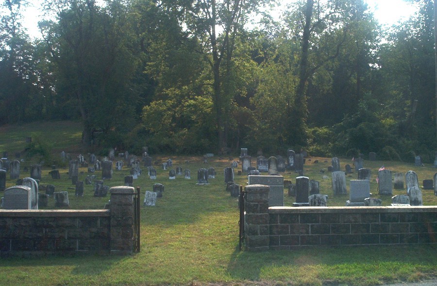
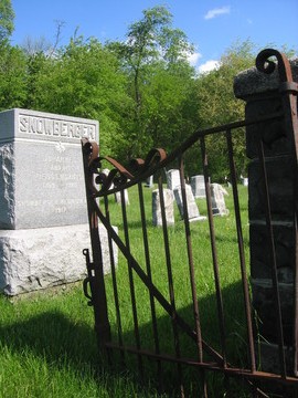
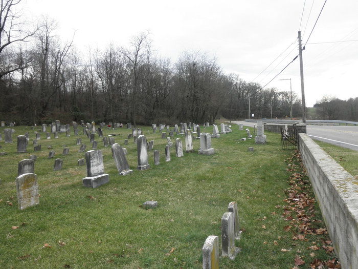
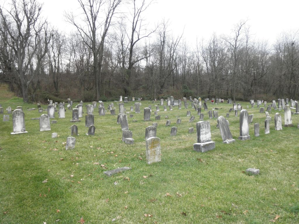
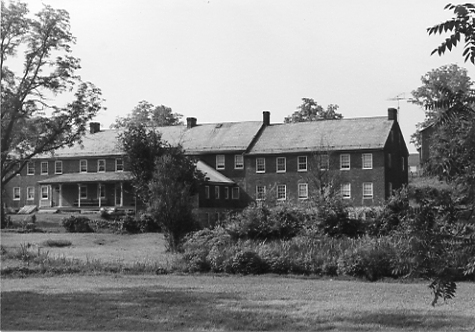
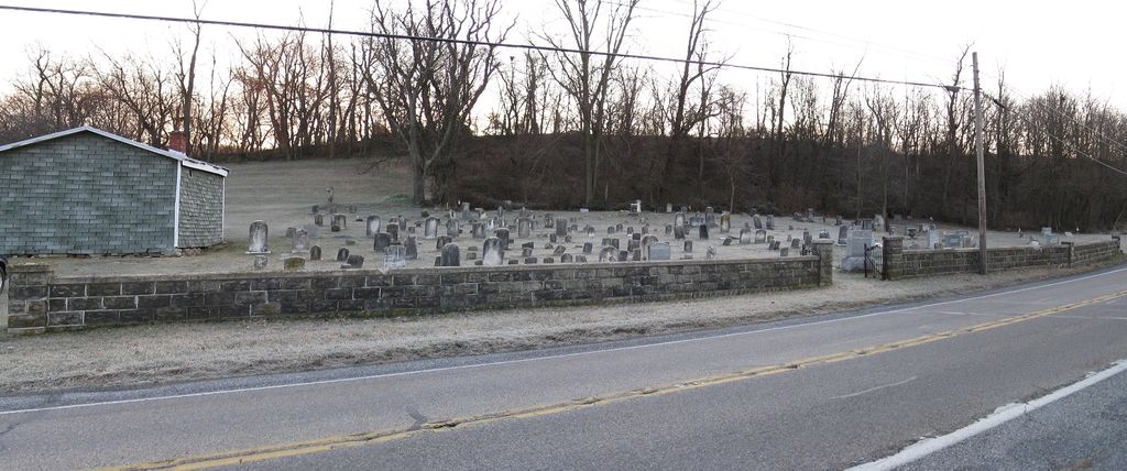
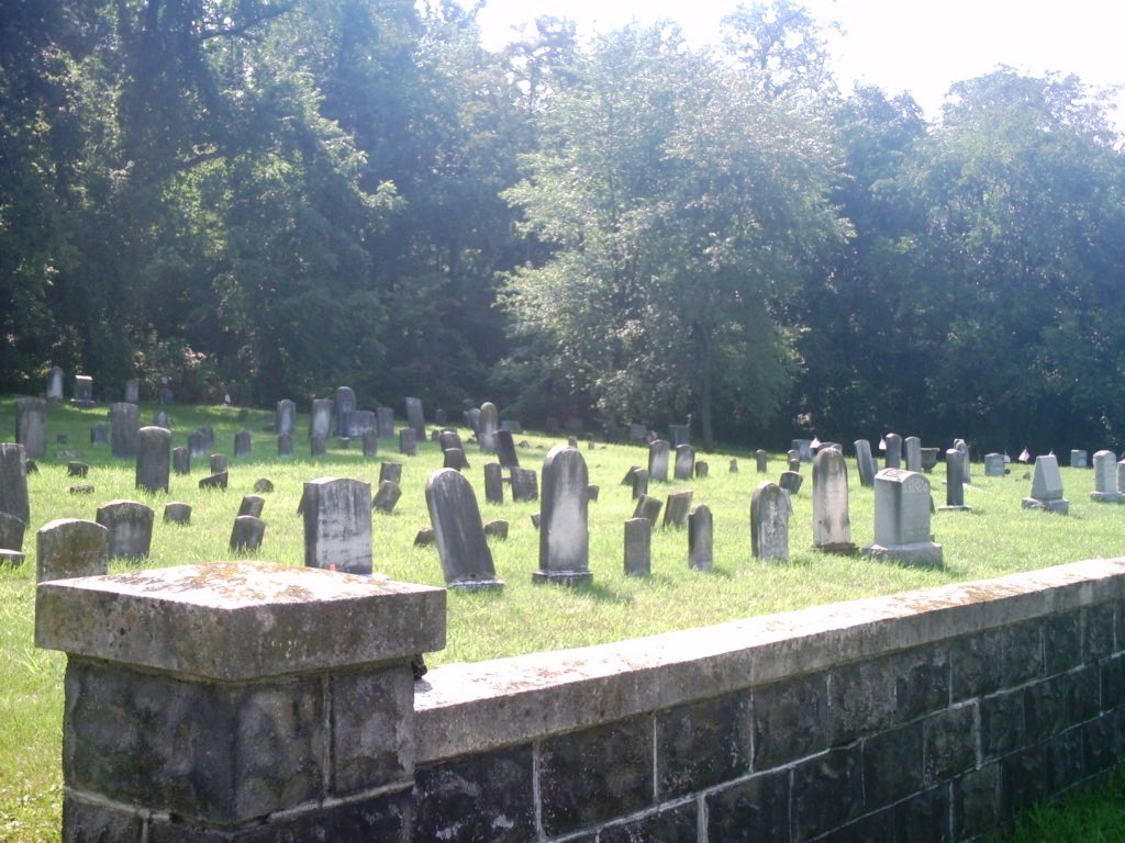
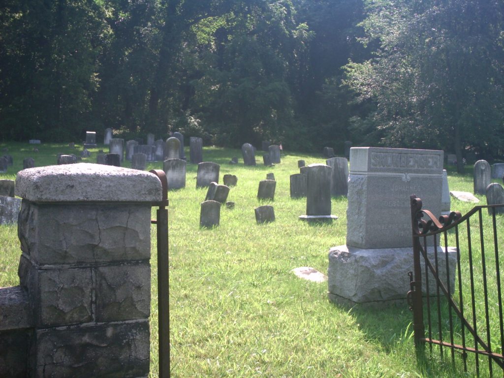
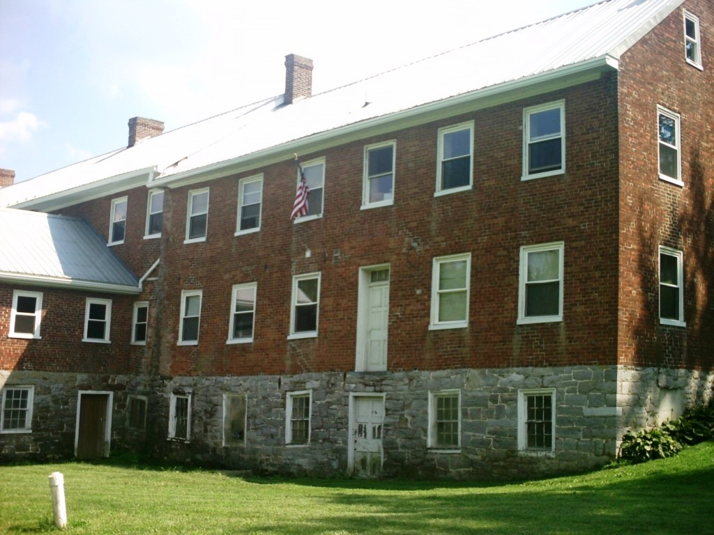
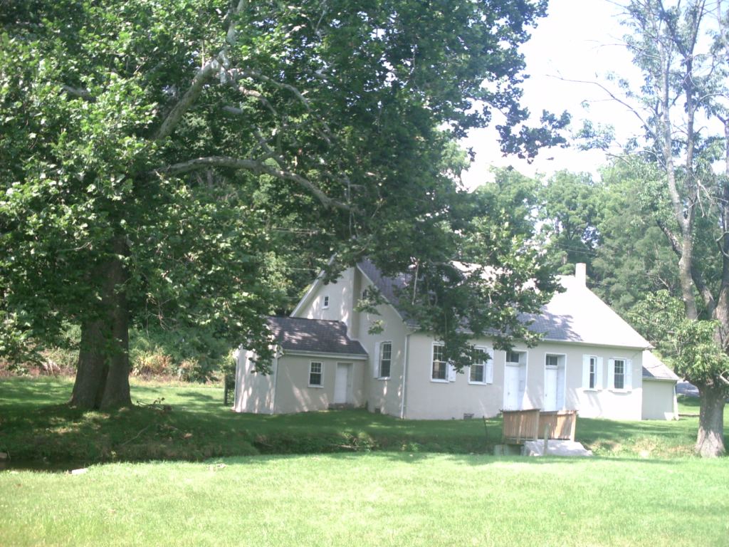
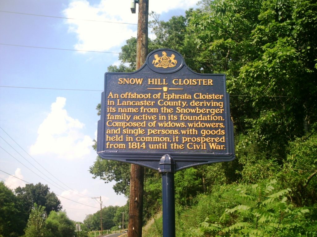
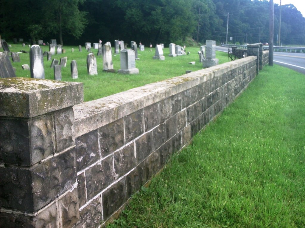
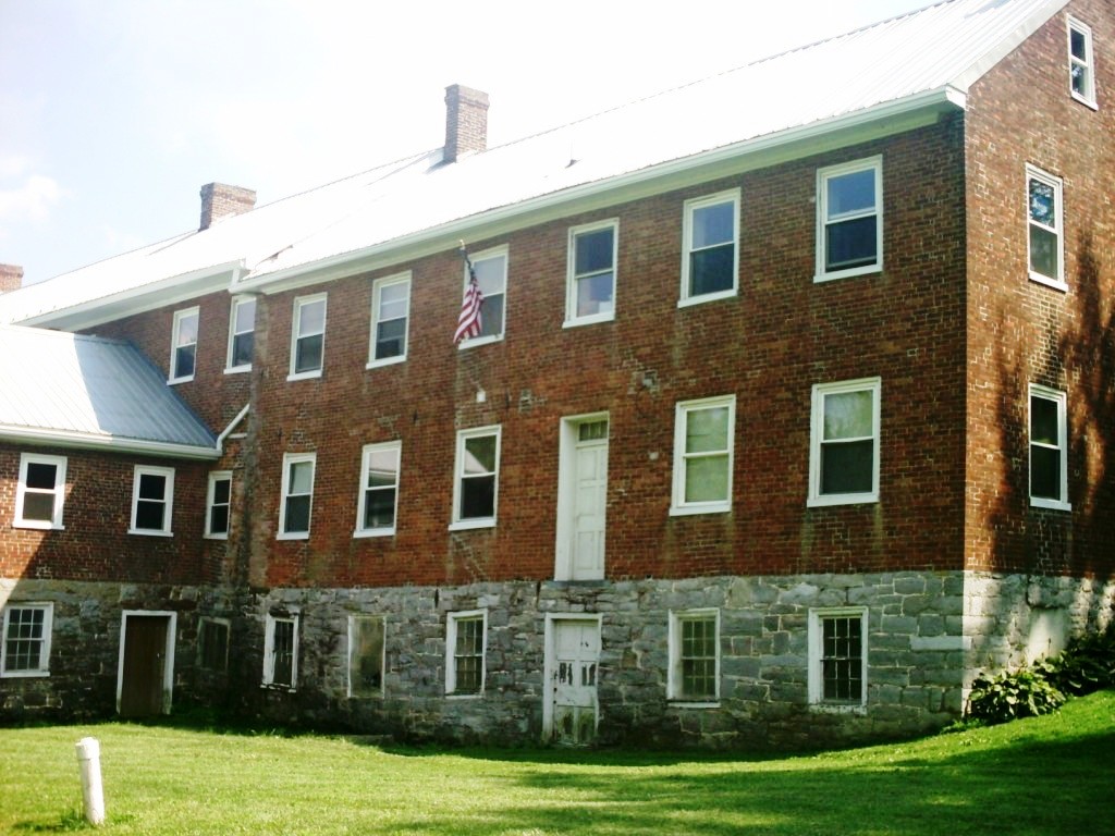
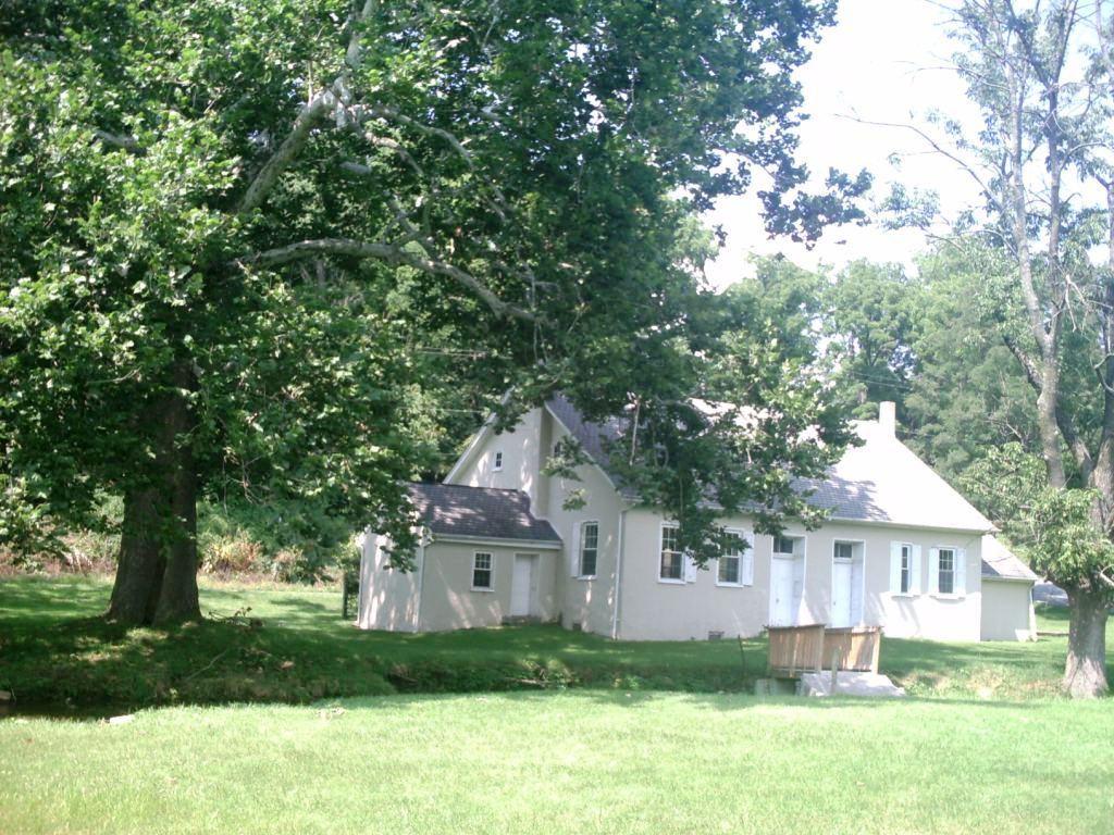
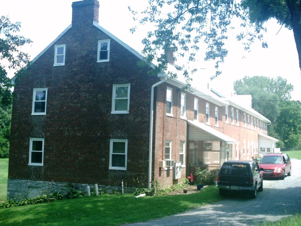
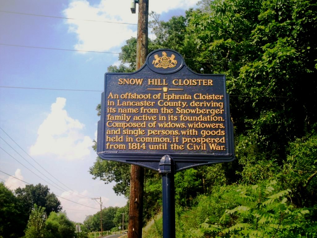
| Description | : | The Snow Hill Nunnery Cemetery known locally often as just "The Nunnery Cemetery" was a burial ground for celibate and associated married householders who lived on surrounding farms and who were affiliated with "The Seventh Day Baptist Society of Snow Hill". The forming of this community was largely influence by the Ephrata Cloister located on Cocalico Creek in Lancaster County in 1732. Later known as "The Snow Hill Institution" the community was active from 1798 through 1889. It is located on a branch of Antietam Creek, on the east side of Route 997, about two miles north of Waynesboro, just... Read More |
frequently asked questions (FAQ):
-
Where is Snow Hill Nunnery Cemetery?
Snow Hill Nunnery Cemetery is located at Quincy, Franklin County ,Pennsylvania ,USA.
-
Snow Hill Nunnery Cemetery cemetery's updated grave count on graveviews.com?
1 memorials
-
Where are the coordinates of the Snow Hill Nunnery Cemetery?
Latitude: 39.7938000
Longitude: -77.5747000
Nearby Cemetories:
1. Middour Farm Cemetery
Quincy Township, Franklin County, USA
Coordinate: 39.7832219, -77.5642904
2. Quincy Cemetery
Quincy, Franklin County, USA
Coordinate: 39.8078950, -77.5786850
3. Antietam Church Cemetery
Waynesboro, Franklin County, USA
Coordinate: 39.7792500, -77.5852500
4. Fellowship Independence Cemetery
Waynesboro, Franklin County, USA
Coordinate: 39.7831010, -77.5408440
5. Mount Zion Cemetery
Quincy Township, Franklin County, USA
Coordinate: 39.8240000, -77.5790000
6. Saint Andrew Catholic Cemetery
Waynesboro, Franklin County, USA
Coordinate: 39.7581400, -77.5729100
7. Cochran Family Burial Ground
Waynesboro, Franklin County, USA
Coordinate: 39.7586510, -77.5831120
8. Benedict Family Cemetery
Franklin County, USA
Coordinate: 39.8276400, -77.5982800
9. Burns Hill Cemetery
Waynesboro, Franklin County, USA
Coordinate: 39.7540200, -77.5714800
10. Union Church Cemetery (Defunct)
Waynesboro, Franklin County, USA
Coordinate: 39.7535000, -77.5795000
11. Jacob Harshman Family Cemetery
Clay Hill, Franklin County, USA
Coordinate: 39.8267440, -77.6132530
12. Waynecastle Mennonite Church Cemetery
Waynesboro, Franklin County, USA
Coordinate: 39.7841000, -77.6311000
13. Bonebrake Family Cemetery
Waynesboro, Franklin County, USA
Coordinate: 39.7533000, -77.5386200
14. Burns Family Cemetery
Waynesboro, Franklin County, USA
Coordinate: 39.7443900, -77.5627300
15. Old Forge Cemetery
Franklin County, USA
Coordinate: 39.7800100, -77.5094400
16. Snowberger Cemetery
Roadside, Franklin County, USA
Coordinate: 39.7705350, -77.5141400
17. Green Hill Cemetery
Waynesboro, Franklin County, USA
Coordinate: 39.7402992, -77.5905991
18. Stoner Cemetery
Waynesboro, Franklin County, USA
Coordinate: 39.7385500, -77.5713600
19. Mont Alto Cemetery
Mont Alto, Franklin County, USA
Coordinate: 39.8487500, -77.5602500
20. Hades Church Cemetery
Shady Grove, Franklin County, USA
Coordinate: 39.8205200, -77.6394700
21. Royer Cemetery
Waynesboro, Franklin County, USA
Coordinate: 39.7376300, -77.5525000
22. Hess Cemetery
Waynesboro, Franklin County, USA
Coordinate: 39.7425003, -77.5338898
23. Salem Church Graveyard
Franklin County, USA
Coordinate: 39.7510000, -77.6315000
24. Fetterhoff Family Burial Ground
Guilford, Franklin County, USA
Coordinate: 39.8577954, -77.5821508