
| Memorials | : | 0 |
| Location | : | Walnut Grove, Greene County, USA |
| Coordinate | : | 37.3643750, -93.5575630 |
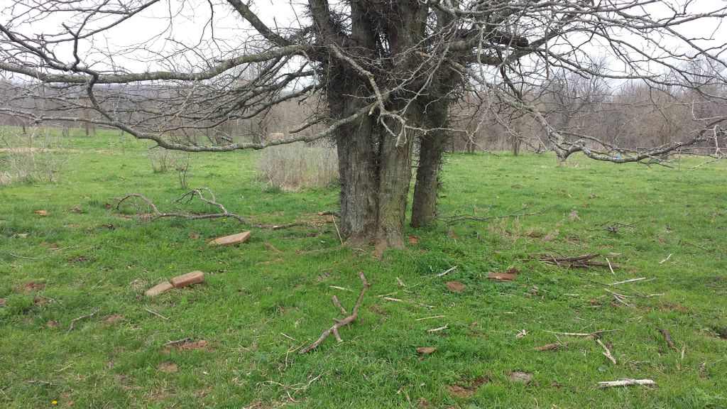
| Description | : | From Ash Grove take State Road V north about 2 1/2 miles - turn right on Farm Road 33 to Farm Road 44 - turn right and go just a little bit over 1 1/4 miles to a driveway on the right (If you pass the drive you will come to an intersection with North Farm Road 43). This is private property and there is no way to get to the cemetery without going through the landowners back yard. We stopped and asked him if he knew where the cemetery was and he then took us through the... Read More |
frequently asked questions (FAQ):
-
Where is Solomon Daniel Cemetery?
Solomon Daniel Cemetery is located at 12500-12870 West Farm Road 44 Walnut Grove, Greene County ,Missouri , 65770USA.
-
Solomon Daniel Cemetery cemetery's updated grave count on graveviews.com?
0 memorials
-
Where are the coordinates of the Solomon Daniel Cemetery?
Latitude: 37.3643750
Longitude: -93.5575630
Nearby Cemetories:
1. Boone Slave Cemetery
Ash Grove, Greene County, USA
Coordinate: 37.3455900, -93.5775800
2. Boone Family Cemetery
Ash Grove, Greene County, USA
Coordinate: 37.3452130, -93.5824460
3. Williamson Cemetery
Greene County, USA
Coordinate: 37.3941994, -93.5653000
4. Kelley Cemetery
Ash Grove, Greene County, USA
Coordinate: 37.3314362, -93.5572815
5. Leeper Cemetery
Greene County, USA
Coordinate: 37.3927994, -93.5792007
6. Greene Lawn Cemetery
Walnut Grove, Greene County, USA
Coordinate: 37.4011002, -93.5496979
7. Hamilton Cemetery
Ash Grove, Greene County, USA
Coordinate: 37.3250008, -93.5839005
8. Walnut Grove Cemetery
Walnut Grove, Greene County, USA
Coordinate: 37.4108810, -93.5452194
9. Ash Grove Cemetery
Ash Grove, Greene County, USA
Coordinate: 37.3159790, -93.5782089
10. Holy Resurrection Cemetery
Greene County, USA
Coordinate: 37.3239700, -93.5997900
11. Grant Cemetery
Walnut Grove, Greene County, USA
Coordinate: 37.4102402, -93.5119171
12. Harrison Kelley Cemetery
Ash Grove, Greene County, USA
Coordinate: 37.3952550, -93.4903290
13. Coble Cemetery
Walnut Grove, Greene County, USA
Coordinate: 37.3851960, -93.4833530
14. Looney Cemetery
Walnut Grove Township, Greene County, USA
Coordinate: 37.4242630, -93.5161550
15. Turkey Creek Cemetery
Polk County, USA
Coordinate: 37.4327812, -93.5527420
16. Oak Grove Cemetery
Eudora, Polk County, USA
Coordinate: 37.4336395, -93.5894165
17. Lemmon Cemetery
Polk County, USA
Coordinate: 37.4322014, -93.5186005
18. Cave Spring Memorial Church Cemetery
Cave Spring, Greene County, USA
Coordinate: 37.3533510, -93.4635420
19. Mount Pleasant Cemetery
Willard, Greene County, USA
Coordinate: 37.3028800, -93.4886500
20. Gilmore Cemetery
Greene County, USA
Coordinate: 37.3035200, -93.4645400
21. Brown Family Cemetery
Rock Prairie Township, Dade County, USA
Coordinate: 37.2893672, -93.6348329
22. Rose Hill Cemetery
Willard, Greene County, USA
Coordinate: 37.3792992, -93.4353027
23. Wheeler Cemetery
Dadeville, Dade County, USA
Coordinate: 37.4300003, -93.6505966
24. Sinking Creek Cemetery
Everton, Dade County, USA
Coordinate: 37.3296318, -93.6795197