
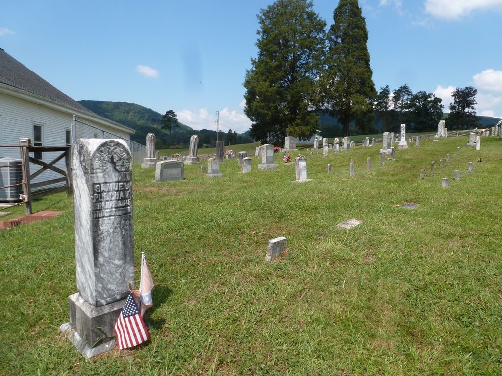
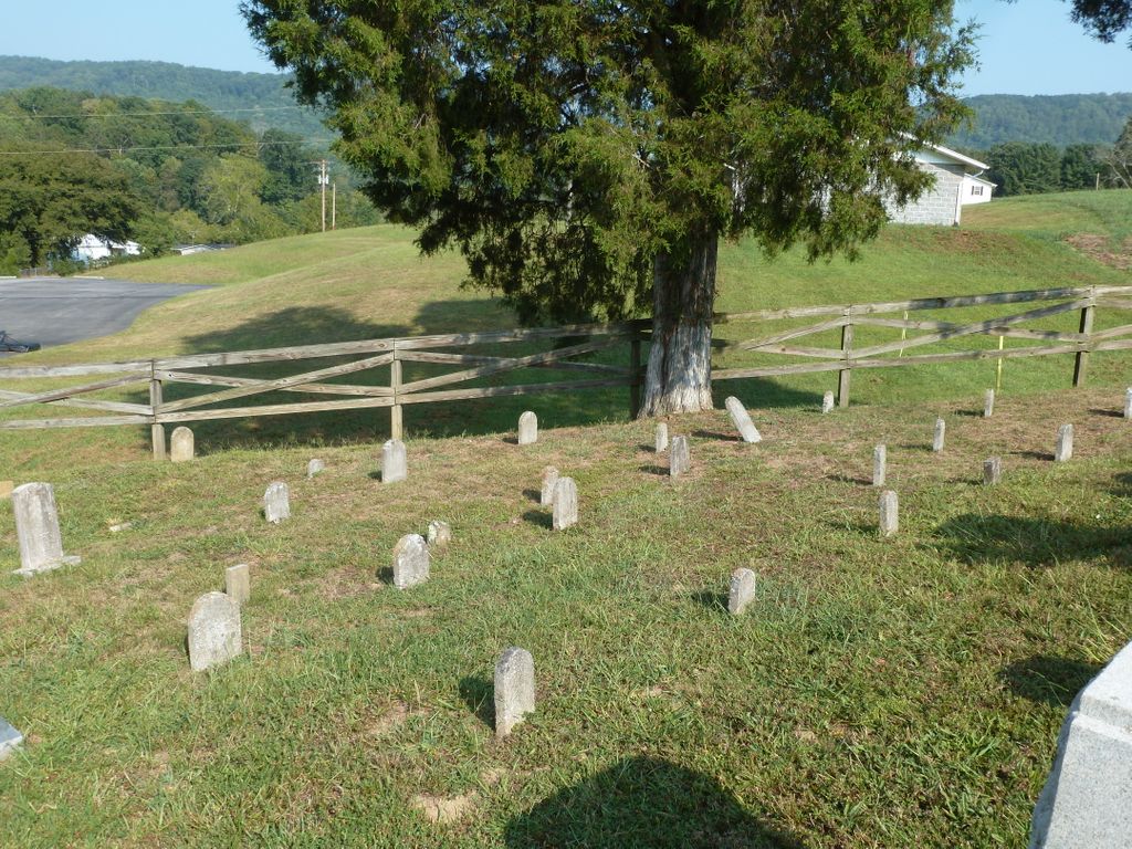
| Memorials | : | 0 |
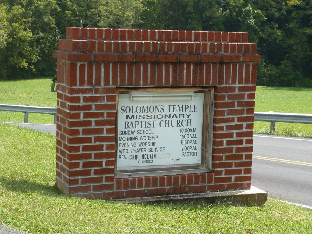
| Location | : | Blair Gap, Sullivan County, USA |
| Phone | : | 423-348-6060 |
| Coordinate | : | 36.4506600, -82.6776700 |
frequently asked questions (FAQ):
-
Where is Solomon’s Temple Missionary Baptist Cemetery?
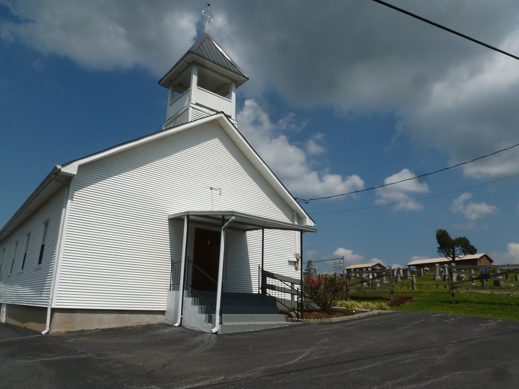
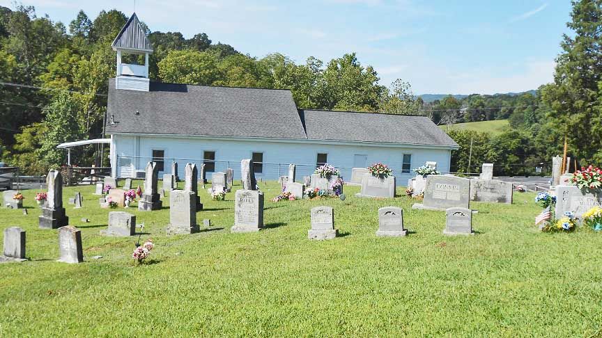
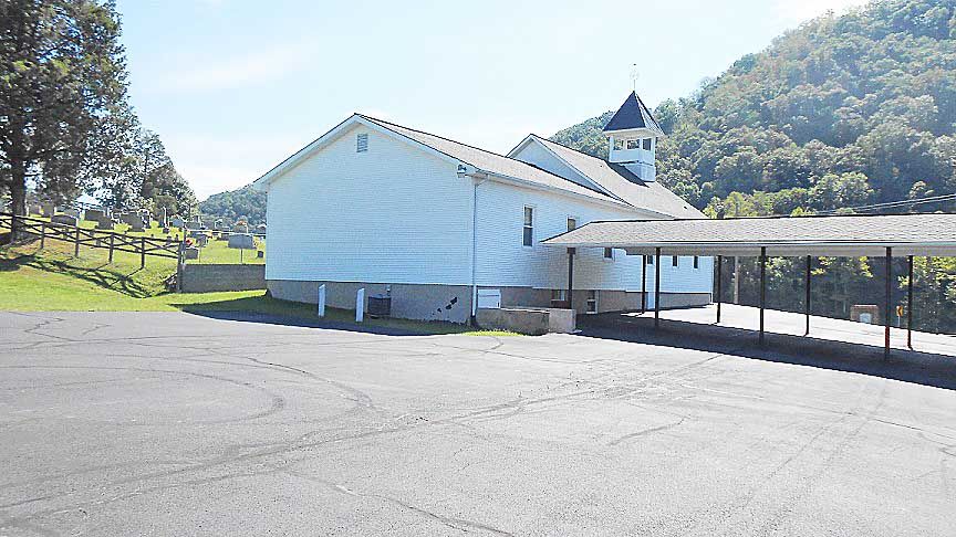
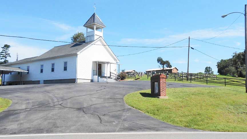
Solomon’s Temple Missionary Baptist Cemetery is located at Blair Gap, Sullivan County ,Tennessee ,USA.
-
Solomon’s Temple Missionary Baptist Cemetery cemetery's updated grave count on graveviews.com?
0 memorials
-
Where are the coordinates of the Solomon’s Temple Missionary Baptist Cemetery?
Latitude: 36.4506600
Longitude: -82.6776700
Nearby Cemetories:
1. Crawford Cemetery
Kingsport, Sullivan County, USA
Coordinate: 36.4521640, -82.6780350
2. Murray Cemetery
Kingsport, Sullivan County, USA
Coordinate: 36.4534960, -82.6797580
3. Light Cemetery
Kingsport, Sullivan County, USA
Coordinate: 36.4496470, -82.6872370
4. Carr-Whetsel Cemetery
Fall Branch, Sullivan County, USA
Coordinate: 36.4502600, -82.6626300
5. Mullins Cemetery
Sullivan Gardens, Sullivan County, USA
Coordinate: 36.4639143, -82.6546705
6. Barrett Cemetery
Hawkins County, USA
Coordinate: 36.4644370, -82.7085620
7. Bowser Cemetery
Church Hill, Hawkins County, USA
Coordinate: 36.4800100, -82.6734980
8. Bragg Family Cemetery
Kingsport, Sullivan County, USA
Coordinate: 36.4709500, -82.6413500
9. Walkers Fork Baptist Church Cemetery
Sullivan Gardens, Sullivan County, USA
Coordinate: 36.4688330, -82.6373330
10. Murrell Family Cemetery
Sullivan Gardens, Sullivan County, USA
Coordinate: 36.4557900, -82.6299800
11. Murrell Cemetery
Sullivan Gardens, Sullivan County, USA
Coordinate: 36.4617100, -82.6296700
12. Fall Branch United Methodist Church Cemetery
Fall Branch, Washington County, USA
Coordinate: 36.4249992, -82.6299973
13. Chimney Top Free Will Baptist Church Cemetery
Greene County, USA
Coordinate: 36.4034380, -82.6859110
14. George Skelton Cemetery
Church Hill, Hawkins County, USA
Coordinate: 36.4901000, -82.7201560
15. Lovelace Baptist Church Cemetery
Greene County, USA
Coordinate: 36.4009050, -82.6528710
16. Lone Star Cemetery
Sullivan Gardens, Sullivan County, USA
Coordinate: 36.4719009, -82.6156006
17. Chimney Top Cemetery
Jearoldstown, Greene County, USA
Coordinate: 36.4064429, -82.7196623
18. Peoples Cemetery
Sullivan Gardens, Sullivan County, USA
Coordinate: 36.4622002, -82.6093979
19. Fall Branch First Baptist Church Cemetery
Fall Branch, Washington County, USA
Coordinate: 36.4174995, -82.6213989
20. Duncan Cemetery
Sullivan Gardens, Sullivan County, USA
Coordinate: 36.4742700, -82.6121090
21. Harris Cemetery
Church Hill, Hawkins County, USA
Coordinate: 36.4431040, -82.7510830
22. Dolen Cemetery
Kingsport, Sullivan County, USA
Coordinate: 36.4854480, -82.6141880
23. Baines Cemetery
Washington County, USA
Coordinate: 36.4105988, -82.6175003
24. McPheeters Bend Baptist Church Cemetery
Church Hill, Hawkins County, USA
Coordinate: 36.4951700, -82.7382100