
| Memorials | : | 0 |
| Location | : | Kinston, Lenoir County, USA |
| Coordinate | : | 35.1256260, -77.5836470 |
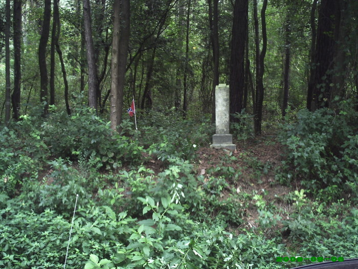
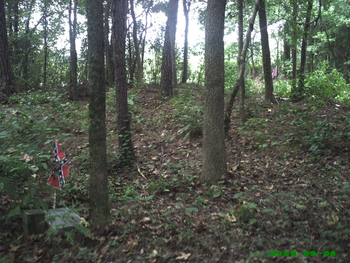
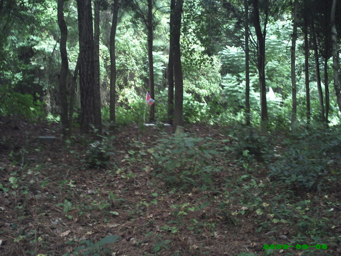
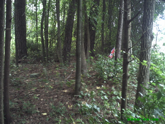
| Description | : | i was told about this cemetery by an older gentleman that has lived in pleasant hill all his life. on my way to check out this old cemetery i was not expecting to find 2 confederate soilders buried in it's soil. i felt like a kid that had just walked into a candy store. i had found what i thought was a treasure, but somebody else had found it before i did. the underbrush had been kept down to a minamum and the lower limbs of the small trees had been cut back. the original markers that had been put... Read More |
frequently asked questions (FAQ):
-
Where is Southwest Creek Confederate Cemetery?
Southwest Creek Confederate Cemetery is located at Kinston, Lenoir County ,North Carolina ,USA.
-
Southwest Creek Confederate Cemetery cemetery's updated grave count on graveviews.com?
0 memorials
-
Where are the coordinates of the Southwest Creek Confederate Cemetery?
Latitude: 35.1256260
Longitude: -77.5836470
Nearby Cemetories:
1. Andrews Cemetery
Deep Run, Lenoir County, USA
Coordinate: 35.1047509, -77.6160110
2. Becton Cemetery
Kinston, Lenoir County, USA
Coordinate: 35.1604570, -77.5742560
3. Andrew Jackson Fordham Cemetery
Lenoir County, USA
Coordinate: 35.0887930, -77.5746730
4. Joe Williams Cemetery
Kinston, Lenoir County, USA
Coordinate: 35.1643210, -77.5542720
5. Latter Day Saints of Deep Run Cemetery
Deep Run, Lenoir County, USA
Coordinate: 35.1103400, -77.6382270
6. Pinkney Tyndall Cemetery
Nobles Mill, Lenoir County, USA
Coordinate: 35.1070210, -77.6379990
7. Whaley Family Cemetery
Lenoir County, USA
Coordinate: 35.0802240, -77.6089130
8. Durant Alphin Cemetery
Pink Hill, Lenoir County, USA
Coordinate: 35.0942030, -77.6310800
9. Harper-Hazzard Cemetery
Pink Hill Township, Lenoir County, USA
Coordinate: 35.1020268, -77.6408245
10. Alexander Rouse Cemetery
Kinston, Lenoir County, USA
Coordinate: 35.1788700, -77.5964440
11. Brock Cemetery
Trenton, Jones County, USA
Coordinate: 35.1404070, -77.5181490
12. Pleasant Hill Christian Church Cemetery
Jones County, USA
Coordinate: 35.0678690, -77.5908660
13. Kinsey Cemetery
Lenoir County, USA
Coordinate: 35.0787860, -77.6261730
14. Kinsey Family Cemetery
Pleasant Hill, Jones County, USA
Coordinate: 35.0672900, -77.5901810
15. Davenport Family Cemetery
Deep Run, Lenoir County, USA
Coordinate: 35.1288920, -77.6585640
16. William Stroud Cemetery
Woodington, Lenoir County, USA
Coordinate: 35.1804030, -77.6182100
17. Old Taylor Family Cemetery
Pleasant Hill, Jones County, USA
Coordinate: 35.0752150, -77.6291480
18. Johnson Cemetery
Kinston, Lenoir County, USA
Coordinate: 35.1883680, -77.5881630
19. Woodington United Methodist Church Cemetery
Woodington, Lenoir County, USA
Coordinate: 35.1776690, -77.6284060
20. John Green Smith Cemetery
Deep Run, Lenoir County, USA
Coordinate: 35.1648710, -77.6484310
21. Harper Family Cemetery
Pink Hill, Lenoir County, USA
Coordinate: 35.0780910, -77.6397050
22. Williams Family Cemetery
Kinston, Lenoir County, USA
Coordinate: 35.1835360, -77.6237260
23. Grady Cemetery
Woodington, Lenoir County, USA
Coordinate: 35.1651430, -77.6493500
24. Frederick Isler Becton Cemetery
Township 7-Beaver Creek, Jones County, USA
Coordinate: 35.1611110, -77.5063890