
| Memorials | : | 0 |
| Location | : | Macon, Noxubee County, USA |
| Phone | : | 6627265175 |
| Coordinate | : | 33.1465960, -88.3277610 |
frequently asked questions (FAQ):
-
Where is Spring Hill Baptist Church Cemetery?
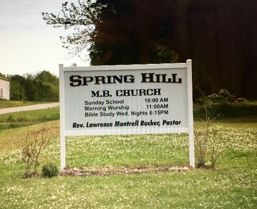
Spring Hill Baptist Church Cemetery is located at 13283 Praire Point Road Macon, Noxubee County ,Mississippi , 39341USA.
-
Spring Hill Baptist Church Cemetery cemetery's updated grave count on graveviews.com?
0 memorials
-
Where are the coordinates of the Spring Hill Baptist Church Cemetery?
Latitude: 33.1465960
Longitude: -88.3277610
Nearby Cemetories:
1. Brewer Cemetery
Noxubee County, USA
Coordinate: 33.1713982, -88.3257980
2. Christian Love Methodist Baptist Church Cemetery
Macon, Noxubee County, USA
Coordinate: 33.1703800, -88.3405300
3. Old Memphis Cemetery
Memphis, Pickens County, USA
Coordinate: 33.1310997, -88.2985992
4. Old Christian Love Cemetery
Noxubee County, USA
Coordinate: 33.1733017, -88.3463974
5. Cedar Grove Cemetery
Memphis, Pickens County, USA
Coordinate: 33.1130981, -88.3000031
6. Springhill Cemetery
Noxubee County, USA
Coordinate: 33.2055900, -88.3315900
7. Rockhill Cemetery
Macon, Noxubee County, USA
Coordinate: 33.0894500, -88.3470000
8. Brewer Cemetery
Noxubee County, USA
Coordinate: 33.2083015, -88.3274994
9. Bigbee Baptist Church Cemetery
Pickensville, Pickens County, USA
Coordinate: 33.1699982, -88.2593994
10. Sanders Spann Cemetery
Dancy, Pickens County, USA
Coordinate: 33.0780560, -88.3300000
11. New Zion M B Church Cemetery
Noxubee County, USA
Coordinate: 33.0930800, -88.4084200
12. Bradford Cemetery
Pickens County, USA
Coordinate: 33.1575012, -88.2241974
13. Saint John Cemetery
Pickensville, Pickens County, USA
Coordinate: 33.2188988, -88.2664032
14. Lower Cemetery
Pickensville, Pickens County, USA
Coordinate: 33.2192001, -88.2664032
15. Mount Bethel Cemetery
Macon, Noxubee County, USA
Coordinate: 33.1471540, -88.4343350
16. Fairfield Cemetery
Cochrane, Pickens County, USA
Coordinate: 33.0770000, -88.2608000
17. Mount Zion Baptist Cemetery
Noxubee County, USA
Coordinate: 33.1994300, -88.4185600
18. Cook Family Cemetery
Cochrane, Pickens County, USA
Coordinate: 33.0736000, -88.2559000
19. Roberson Cemetery
Noxubee County, USA
Coordinate: 33.2421989, -88.3407974
20. Bigbee Valley Cemetery
Noxubee County, USA
Coordinate: 33.2433014, -88.3375015
21. Christian Hill Cemetery
Brooksville, Noxubee County, USA
Coordinate: 33.2440300, -88.3402700
22. Cluster Cemetery
Pickens County, USA
Coordinate: 33.0511017, -88.3011017
23. Young-May Cemetery
Cochrane, Pickens County, USA
Coordinate: 33.0563400, -88.2795700
24. Hebron United Methodist Church Cemetery
Cochrane, Pickens County, USA
Coordinate: 33.0517006, -88.2902985