| Memorials | : | 7 |
| Location | : | Warren, Huntington County, USA |
| Coordinate | : | 40.6859627, -85.4323807 |
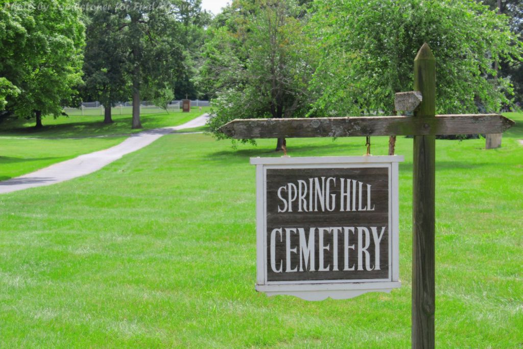
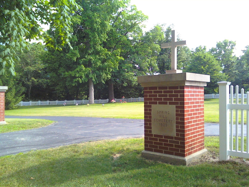
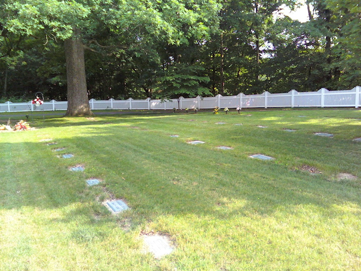
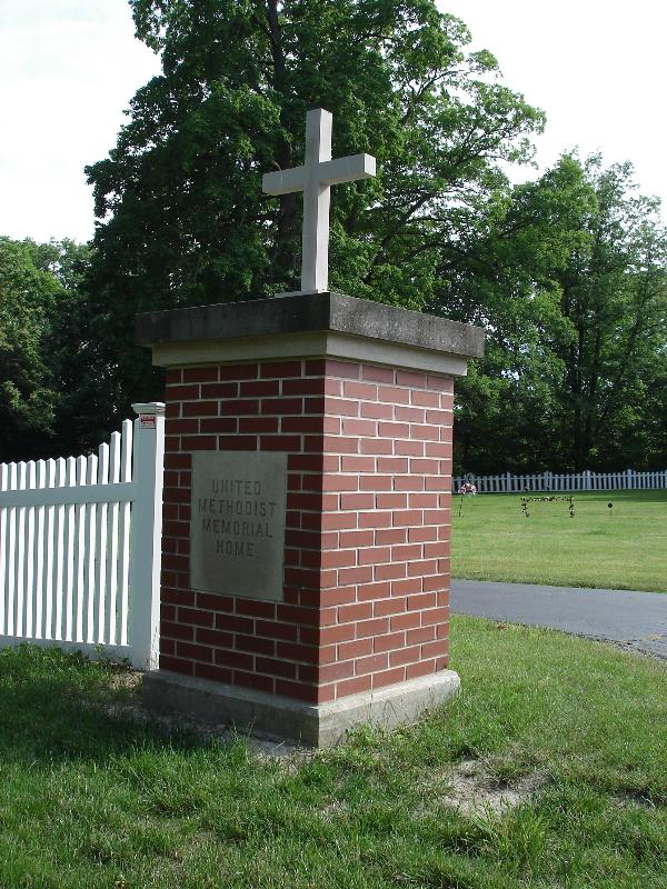
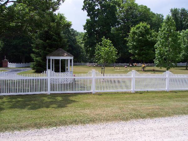
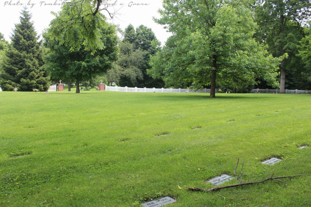
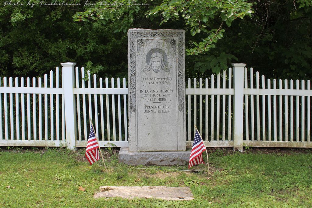
| Description | : | The cemetery is located in Salamonie Township on the southeast corner of the intersection of Hyatt Lane and S Scout Cabin Road / W. 2nd Street. The cemetery is on the grounds of the United Methodist Memorial Home in Warren. Indiana Cemetery Locations, Volume 4, published by the Indiana Genealogical Society (April 2009), gives the primary cemetery name as Spring Hill Cemetery. The cemetery is listed in the Cemetery and Burial Grounds Registry of the Indiana Department of Natural Resources (DNR) and in the State Historical Architectural and Archaeological Research Database (SHAARD) with Cemetery Record Number CR-35-73 (Spring... Read More |
frequently asked questions (FAQ):
-
Where is Spring Hill Cemetery?
Spring Hill Cemetery is located at S Scout Cabin Road / W. 2nd Street and Hyatt Lane Warren, Huntington County ,Indiana , 46792USA.
-
Spring Hill Cemetery cemetery's updated grave count on graveviews.com?
7 memorials
-
Where are the coordinates of the Spring Hill Cemetery?
Latitude: 40.6859627
Longitude: -85.4323807
Nearby Cemetories:
1. Masonic Cemetery
Warren, Huntington County, USA
Coordinate: 40.6830788, -85.4206467
2. Mitchell Cemetery
Warren, Huntington County, USA
Coordinate: 40.6758347, -85.4327774
3. Tower Park
Warren, Huntington County, USA
Coordinate: 40.6818410, -85.4184460
4. Good-Jones Cemetery
Warren, Huntington County, USA
Coordinate: 40.6758250, -85.4211580
5. Woodlawn Cemetery
Warren, Huntington County, USA
Coordinate: 40.6822014, -85.4131012
6. Taylor Cemetery
Warren, Huntington County, USA
Coordinate: 40.6972008, -85.4514008
7. Red Men Cemetery
Warren, Huntington County, USA
Coordinate: 40.6707993, -85.4132996
8. Hosier Cemetery
McNatts, Wells County, USA
Coordinate: 40.6535700, -85.4211900
9. Colbert Cemetery
McNatts, Wells County, USA
Coordinate: 40.6534400, -85.4035700
10. West Union Cemetery
Huntington, Huntington County, USA
Coordinate: 40.7416992, -85.4439011
11. Corey Cemetery
Van Buren, Grant County, USA
Coordinate: 40.6321983, -85.4732971
12. Thompson Home Cemetery
Warren, Huntington County, USA
Coordinate: 40.7085991, -85.3531036
13. Jones Cemetery
Wells County, USA
Coordinate: 40.6391983, -85.3731003
14. Purviance Cemetery
Warren, Huntington County, USA
Coordinate: 40.7216988, -85.5072021
15. Batson Cemetery
McNatts, Wells County, USA
Coordinate: 40.6333008, -85.3644028
16. Yankeetown Cemetery
Huntington, Huntington County, USA
Coordinate: 40.7564011, -85.3889008
17. Lancaster Cemetery
Lancaster, Huntington County, USA
Coordinate: 40.7474670, -85.5050278
18. Stump Cemetery
Warren, Huntington County, USA
Coordinate: 40.6808395, -85.5436707
19. Mossburg Cemetery
Liberty Center, Wells County, USA
Coordinate: 40.7225266, -85.3272247
20. Satterthwaite Cemetery
Pleasant Plain, Huntington County, USA
Coordinate: 40.7142890, -85.5458700
21. Miller Cemetery
Jeff, Wells County, USA
Coordinate: 40.6203000, -85.3484900
22. Rees Cemetery
Majenica, Huntington County, USA
Coordinate: 40.7780991, -85.4552994
23. Van Buren Cemetery
Van Buren, Grant County, USA
Coordinate: 40.6083490, -85.5046020
24. Doyle Cemetery
Grant County, USA
Coordinate: 40.5942400, -85.4810890

