
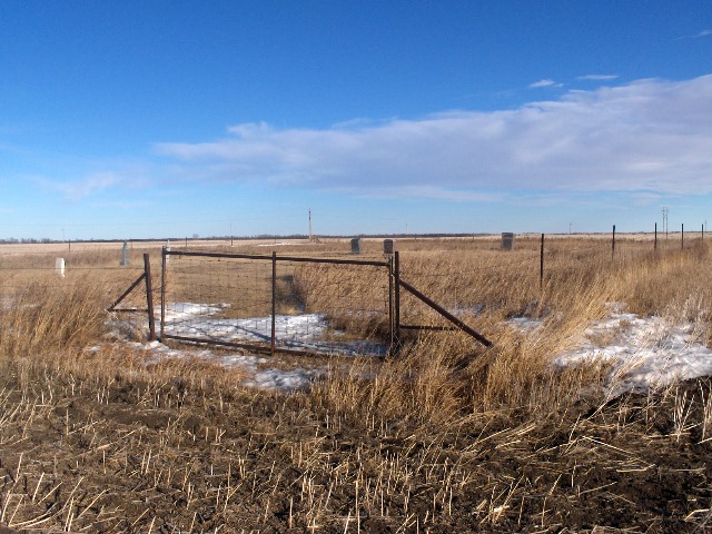
| Memorials | : | 1 |
| Location | : | Kenaston, Ward County, USA |
| Coordinate | : | 48.5904617, -102.0805817 |
frequently asked questions (FAQ):
-
Where is Spring Valley Mennonite Cemetery?
Spring Valley Mennonite Cemetery is located at Kenaston, Ward County ,North Dakota ,USA.
-
Spring Valley Mennonite Cemetery cemetery's updated grave count on graveviews.com?
1 memorials
-
Where are the coordinates of the Spring Valley Mennonite Cemetery?
Latitude: 48.5904617
Longitude: -102.0805817

Nearby Cemetories:
1. Baden Cemetery
Baden, Ward County, USA
Coordinate: 48.5610700, -102.0823000
2. Our Saviors Lutheran Cemetery
Kenaston, Ward County, USA
Coordinate: 48.5604477, -102.1352158
3. Coulee Cemetery
Coulee, Mountrail County, USA
Coordinate: 48.5462723, -102.0065536
4. Lakeview Cemetery
Kenmare, Ward County, USA
Coordinate: 48.6627998, -102.1016998
5. Bethlehem Lutheran Cemetery
Coulee, Mountrail County, USA
Coordinate: 48.5301895, -102.1457291
6. Saint Agnes Catholic Cemetery
Kenmare, Ward County, USA
Coordinate: 48.6804500, -102.0737200
7. Rose Hill Cemetery
Kenmare, Ward County, USA
Coordinate: 48.6804600, -102.0723200
8. Elmdale Lutheran Cemetery
Niobe, Ward County, USA
Coordinate: 48.6988983, -102.2127991
9. Zion Lutheran Cemetery
Coulee, Mountrail County, USA
Coordinate: 48.4882300, -102.2240500
10. Greenfield Cemetery
Ward County, USA
Coordinate: 48.5974998, -101.8653030
11. Peters Family Cemetery
Donnybrook, Ward County, USA
Coordinate: 48.4968290, -101.9170010
12. Trinity Lutheran Cemetery
Kenmare, Ward County, USA
Coordinate: 48.7335590, -102.0646290
13. Holbrook Cemetery
Donnybrook, Ward County, USA
Coordinate: 48.5119019, -101.8944016
14. Donnybrook Community Cemetery
Donnybrook, Ward County, USA
Coordinate: 48.5171165, -101.8895264
15. Nolen Family Cemetery
Aurelia, Ward County, USA
Coordinate: 48.4808884, -101.9191360
16. Power Cemetery
Donnybrook, Ward County, USA
Coordinate: 48.5051627, -101.8884413
17. Bethany Lutheran Cemetery
Burke County, USA
Coordinate: 48.7349080, -102.1683880
18. Saint Anthonys Cemetery
Donnybrook, Ward County, USA
Coordinate: 48.4996986, -101.8731003
19. Aurelia Community Cemetery
Aurelia, Ward County, USA
Coordinate: 48.4593773, -101.9290924
20. Saint Lukes Lutheran Cemetery
Coulee, Mountrail County, USA
Coordinate: 48.4152908, -102.0166931
21. Little Butte Cemetery
Bowbells, Burke County, USA
Coordinate: 48.7197310, -102.2769000
22. Hide and Stone Cemetery
Vanville, Burke County, USA
Coordinate: 48.5788000, -102.3792600
23. Nasareth Cemetery
Vanville, Burke County, USA
Coordinate: 48.6180992, -102.3861008
24. Trinity Cemetery
Tolley, Renville County, USA
Coordinate: 48.7261009, -101.8341980