
| Memorials | : | 0 |
| Location | : | Level Land, Abbeville County, USA |
| Coordinate | : | 34.3304570, -82.4683030 |
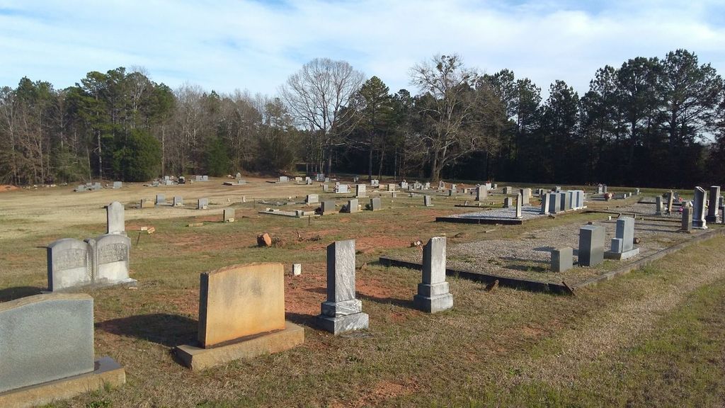
| Description | : | This cemetery is a burial ground for African Americans who are affiliated with Springfield Baptist Church. The church was started just after the American Civil War. In the cemetery area there are atleast a dozen graves that contains only field stones or indentions in the ground in the shape of a grave. This is a complete listing as of 12/15/2012. |
frequently asked questions (FAQ):
-
Where is Springfield Baptist Church Cemetery #1?
Springfield Baptist Church Cemetery #1 is located at Keowee Rd. Honea Path, SC 29654 Level Land, Abbeville County ,South Carolina ,USA.
-
Springfield Baptist Church Cemetery #1 cemetery's updated grave count on graveviews.com?
0 memorials
-
Where are the coordinates of the Springfield Baptist Church Cemetery #1?
Latitude: 34.3304570
Longitude: -82.4683030
Nearby Cemetories:
1. Ashley Cemetery
Abbeville County, USA
Coordinate: 34.3143997, -82.4661026
2. Little River Baptist Church Cemetery
Level Land, Abbeville County, USA
Coordinate: 34.3460999, -82.4550018
3. New Friendship Baptist Church Cemetery
Level Land, Abbeville County, USA
Coordinate: 34.3589300, -82.4520900
4. Duncan Cemetery
Abbeville County, USA
Coordinate: 34.3642006, -82.4657974
5. Shiloh Mennonite Cemetery
Due West, Abbeville County, USA
Coordinate: 34.2995010, -82.4487560
6. Prince Family Cemetery
Due West, Abbeville County, USA
Coordinate: 34.3722610, -82.4549810
7. Whispering Pines Mennonite Church Cemetery
Honea Path, Abbeville County, USA
Coordinate: 34.3671700, -82.4249650
8. Lindsay Cemetery
Abbeville County, USA
Coordinate: 34.3003320, -82.4160600
9. New Hope Baptist Church Cemetery
Due West, Abbeville County, USA
Coordinate: 34.3233810, -82.4029890
10. Shiloh Cemetery
Abbeville, Abbeville County, USA
Coordinate: 34.2943993, -82.5255966
11. Saint Mary's Baptist Church Cemetery
Due West, Abbeville County, USA
Coordinate: 34.3217820, -82.3893600
12. Due West Cemetery
Due West, Abbeville County, USA
Coordinate: 34.3344002, -82.3886032
13. Due West ARP Church Cemetery
Due West, Abbeville County, USA
Coordinate: 34.3338890, -82.3880560
14. Emmanuel Baptist Church Cemetery
Antreville, Abbeville County, USA
Coordinate: 34.2927800, -82.5362600
15. First Creek Baptist Church Cemetery
Flat Rock, Anderson County, USA
Coordinate: 34.3378920, -82.5497800
16. Keowee Baptist Church Cemetery
Abbeville County, USA
Coordinate: 34.3888580, -82.4240890
17. Antreville Church of God Cemetery
Antreville, Abbeville County, USA
Coordinate: 34.3295260, -82.5524240
18. Due West Baptist Cemetery
Due West, Abbeville County, USA
Coordinate: 34.3344610, -82.3827990
19. Mount Bethel Baptist Church Cemetery
Anderson, Anderson County, USA
Coordinate: 34.3972015, -82.4991989
20. McClain Cemetery
Abbeville County, USA
Coordinate: 34.3708000, -82.3930969
21. Little Mountain Cemetery
Abbeville, Abbeville County, USA
Coordinate: 34.2592010, -82.4933014
22. Asaville Baptist Church Cemetery
Anderson, Anderson County, USA
Coordinate: 34.3491450, -82.5555750
23. Winona Cemetery
Abbeville County, USA
Coordinate: 34.3664017, -82.3831024
24. Winona Baptist Church Cemetery
Donalds, Abbeville County, USA
Coordinate: 34.3667840, -82.3830280