
| Memorials | : | 1 |
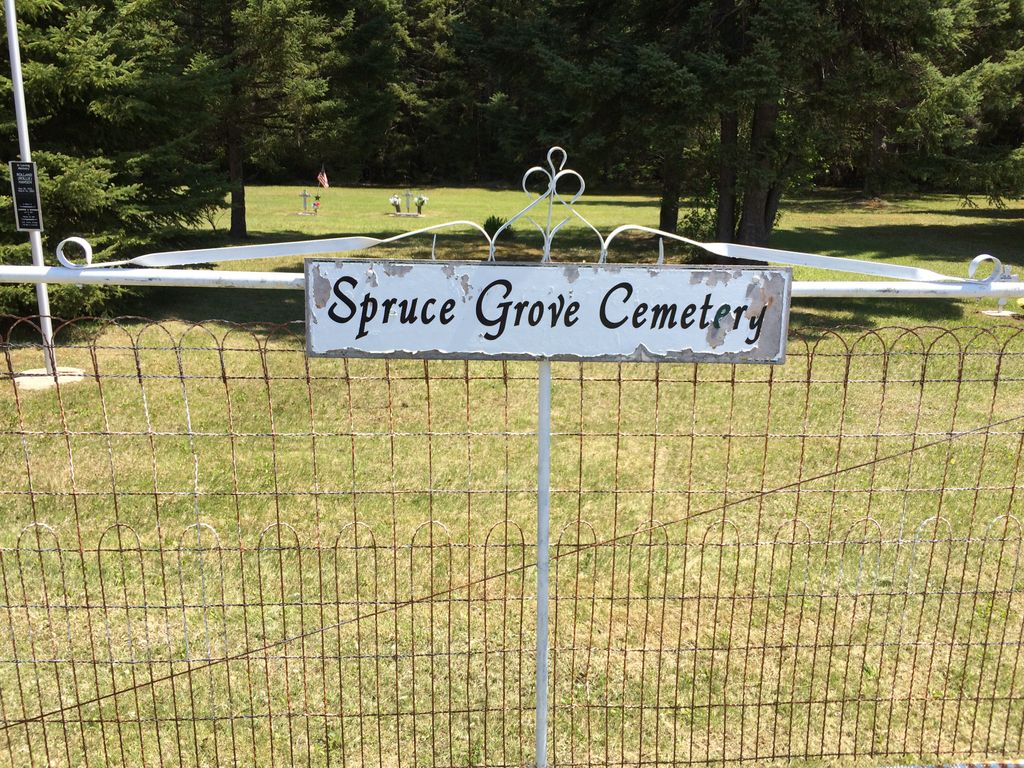
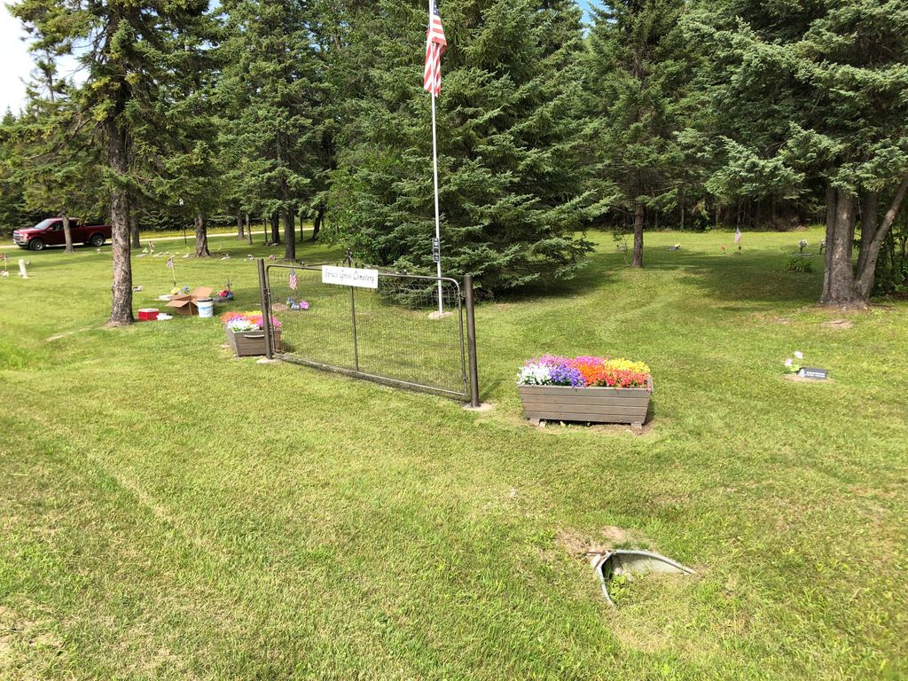
| Location | : | Carp, Lake of the Woods County, USA |
| Coordinate | : | 48.5120290, -94.6469620 |
| Description | : | From Minn. Hwy. 72, go west on Lake of the Woods County Road 1 (Wilderness Drive). After four miles, Lake of the Woods County Road 1 will turn to the north (and become 17th Avenue SW). The cemetery will be on the right (east), one mile north of where Lake of the Woods County Road 1 turned to the north. |
frequently asked questions (FAQ):
-
Where is Spruce Grove Cemetery?
Spruce Grove Cemetery is located at Carp, Lake of the Woods County ,Minnesota ,USA.
-
Spruce Grove Cemetery cemetery's updated grave count on graveviews.com?
0 memorials
-
Where are the coordinates of the Spruce Grove Cemetery?
Latitude: 48.5120290
Longitude: -94.6469620


Nearby Cemetories:
1. Andreas Wessman Burial Site
Baudette, Lake of the Woods County, USA
Coordinate: 48.5308890, -94.6268340
2. Hamilton Farm Cemetery
Lake of the Woods County, USA
Coordinate: 48.5111008, -94.7731018
3. Bankton Cemetery
Lake of the Woods County, USA
Coordinate: 48.4728012, -94.8867035
4. Borchardt Family Cemetery
Baudette, Lake of the Woods County, USA
Coordinate: 48.6866060, -94.6473260
5. Swentik Family Cemetery
Baudette, Lake of the Woods County, USA
Coordinate: 48.6940910, -94.5990140
6. Elm Park Cemetery
Baudette, Lake of the Woods County, USA
Coordinate: 48.7010994, -94.5939026
7. Henry Johnson Family Cemetery
Potamo Township, Lake of the Woods County, USA
Coordinate: 48.6602780, -94.8430830
8. Silver Creek Cemetery
Lake of the Woods County, USA
Coordinate: 48.6883011, -94.4852982
9. Old Town Cemetery
Baudette, Lake of the Woods County, USA
Coordinate: 48.7172220, -94.5930550
10. Spooner Townsite Cemetery
Baudette, Lake of the Woods County, USA
Coordinate: 48.7129300, -94.5629900
11. Potamo Park Cemetery
Lake of the Woods County, USA
Coordinate: 48.6702995, -94.8557968
12. Pitt-Riverside Cemetery
Pitt, Lake of the Woods County, USA
Coordinate: 48.7158610, -94.7351670
13. Forest Lawn Cemetery
Rainy River, Rainy River District, Canada
Coordinate: 48.7220100, -94.5491000
14. Clementson Community Cemetery
Lake of the Woods County, USA
Coordinate: 48.6850014, -94.4338989
15. Wabanica Lutheran Church Cemetery
Baudette, Lake of the Woods County, USA
Coordinate: 48.7774400, -94.6948800
16. Graceton Cemetery
Lake of the Woods County, USA
Coordinate: 48.7475014, -94.8703003
17. James Marshall Burial Site
Lake of the Woods County, USA
Coordinate: 48.7480940, -94.8707620
18. Riverdale Cemetery
Border, Koochiching County, USA
Coordinate: 48.6996994, -94.2818985
19. Pine Hill Cemetery
Williams, Lake of the Woods County, USA
Coordinate: 48.7708015, -94.9441986
20. Williams Catholic Cemetery
Williams, Lake of the Woods County, USA
Coordinate: 48.7644400, -94.9590900
21. Wildwood Cemetery
Lake of the Woods County, USA
Coordinate: 48.5834200, -95.1477000
22. Bethlehem Lutheran Church Memorial Garden
Waskish, Beltrami County, USA
Coordinate: 48.1675900, -94.5123100
23. Immaculate Conception Roman Catholic Church
Stratton, Rainy River District, Canada
Coordinate: 48.6776996, -94.1629629
24. Birchdale Cemetery
Koochiching County, USA
Coordinate: 48.6268997, -94.1224976