| Memorials | : | 0 |
| Location | : | Horning, North Norfolk District, England |
| Coordinate | : | 52.6864000, 1.5247000 |
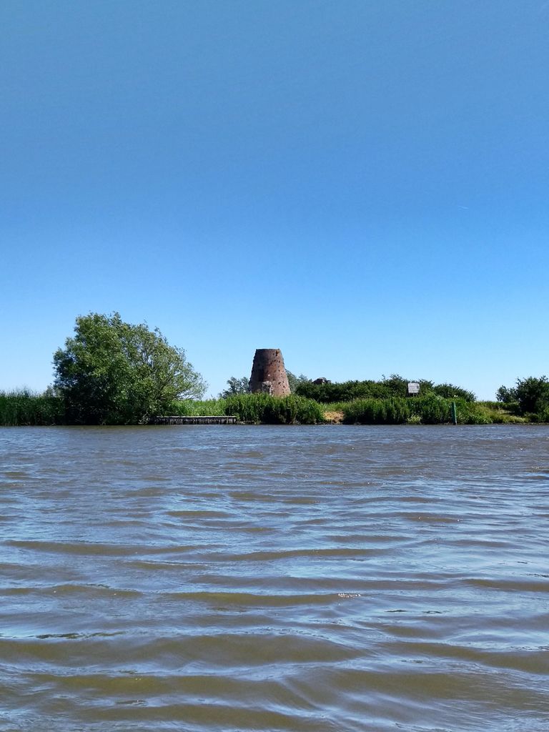
| Description | : | St. Benet's Abbey was a medieval monastery of the Order of Saint Benedict, also known as St. Benet's at Holme or Hulme. It was situated on the River Bure within the Broads in Norfolk, England, approximately two miles from the village of Horning. It's said that St. Benet's was founded on the site of a ninth-century monastery and rebuilt in the tenth century. King Canute conferred his manors of Horning, Ludham, and Neatishead upon the monastery around 1022. During the Dissolution of the Monasteries in the first half of the sixteenth century, the abbey's possessions were effectively... Read More |
frequently asked questions (FAQ):
-
Where is St. Benets Abbey?
St. Benets Abbey is located at Horning, North Norfolk District ,Norfolk ,England.
-
St. Benets Abbey cemetery's updated grave count on graveviews.com?
0 memorials
-
Where are the coordinates of the St. Benets Abbey?
Latitude: 52.6864000
Longitude: 1.5247000
Nearby Cemetories:
1. St Edmund Churchyard
Thurne, Great Yarmouth Borough, England
Coordinate: 52.6847740, 1.5569820
2. St. Catherine's Churchyard
Ludham, North Norfolk District, England
Coordinate: 52.7092870, 1.5339090
3. St. Helen's Churchyard
Ranworth, Broadland District, England
Coordinate: 52.6792260, 1.4836790
4. South Walsham Cemetery
South Walsham, Broadland District, England
Coordinate: 52.6636180, 1.5026400
5. St. Benedict's Church Cemetery
Horning, North Norfolk District, England
Coordinate: 52.6955690, 1.4836570
6. St. Mary's Churchyard
South Walsham, Broadland District, England
Coordinate: 52.6650660, 1.4965400
7. St. Margaret's Churchyard
Upton with Fishley, Broadland District, England
Coordinate: 52.6542110, 1.5371070
8. St. Peter's Churchyard
Repps with Bastwick, Great Yarmouth Borough, England
Coordinate: 52.6957300, 1.5827500
9. All Saints Churchyard
Panxworth, Broadland District, England
Coordinate: 52.6688790, 1.4703430
10. St Peter Churchyard
Clippesby, Great Yarmouth Borough, England
Coordinate: 52.6747700, 1.5908990
11. Acle Cemetery
Acle, Broadland District, England
Coordinate: 52.6432300, 1.5474060
12. St. Fabian & St. Sebastian Churchyard
Woodbastwick, Broadland District, England
Coordinate: 52.6841900, 1.4492890
13. St. Michael's Churchyard
Irstead, North Norfolk District, England
Coordinate: 52.7299947, 1.5015802
14. All Saints Churchyard
Billockby, Great Yarmouth Borough, England
Coordinate: 52.6653020, 1.5921800
15. All Saints Churchyard
Hemblington, Broadland District, England
Coordinate: 52.6505100, 1.4769600
16. All Saints Churchyard
Catfield, North Norfolk District, England
Coordinate: 52.7363286, 1.5267455
17. St. Nicholas Churchyard
Potter Heigham, North Norfolk District, England
Coordinate: 52.7228540, 1.5813770
18. St. Peter Churchyard
Neatishead, North Norfolk District, England
Coordinate: 52.7244260, 1.4703220
19. St Edmund Churchyard
Acle, Broadland District, England
Coordinate: 52.6368650, 1.5473330
20. Neatishead Baptist Churchyard
Neatishead, North Norfolk District, England
Coordinate: 52.7240100, 1.4633560
21. St Andrew Burial Ground
North Burlingham, Broadland District, England
Coordinate: 52.6371215, 1.4878464
22. St George Churchyard
Rollesby, Great Yarmouth Borough, England
Coordinate: 52.6839790, 1.6173930
23. St Margaret & St Mary
Fleggburgh, Great Yarmouth Borough, England
Coordinate: 52.6689000, 1.6144800
24. St Margaret Churchyard
Fleggburgh, Great Yarmouth Borough, England
Coordinate: 52.6685840, 1.6146150

