
| Memorials | : | 0 |
| Location | : | Warkton, Kettering Borough, England |
| Coordinate | : | 52.4091701, -0.6884724 |
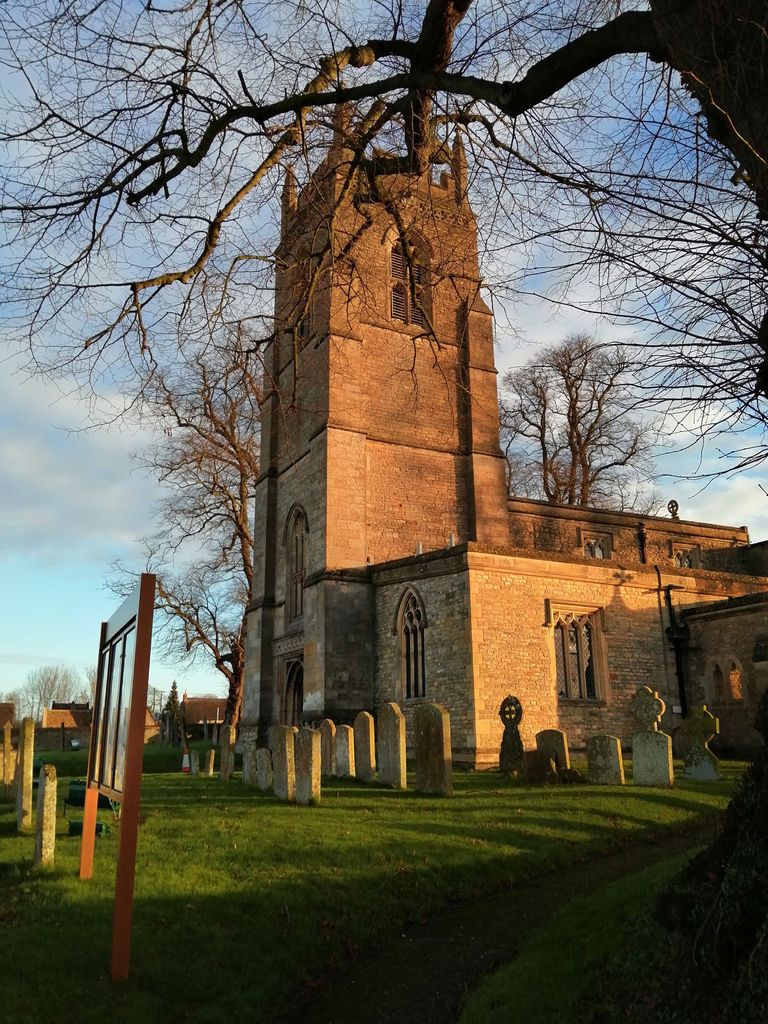
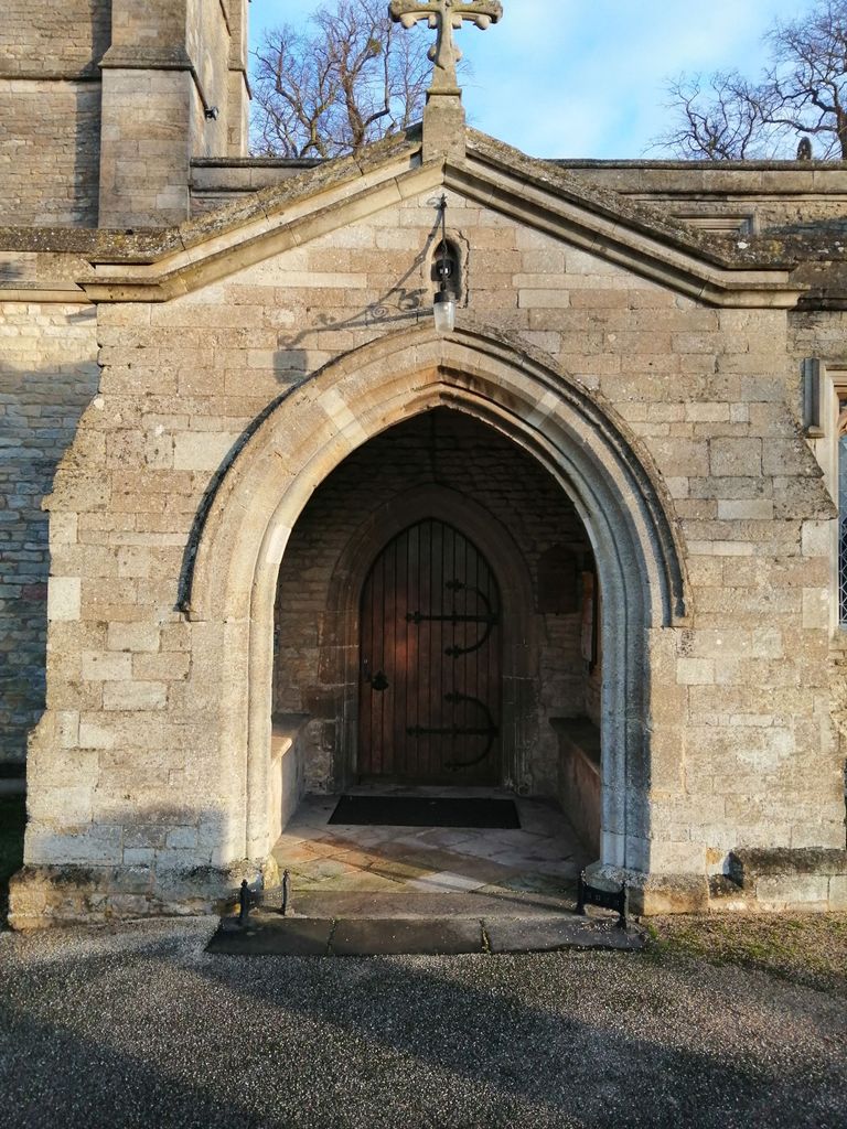
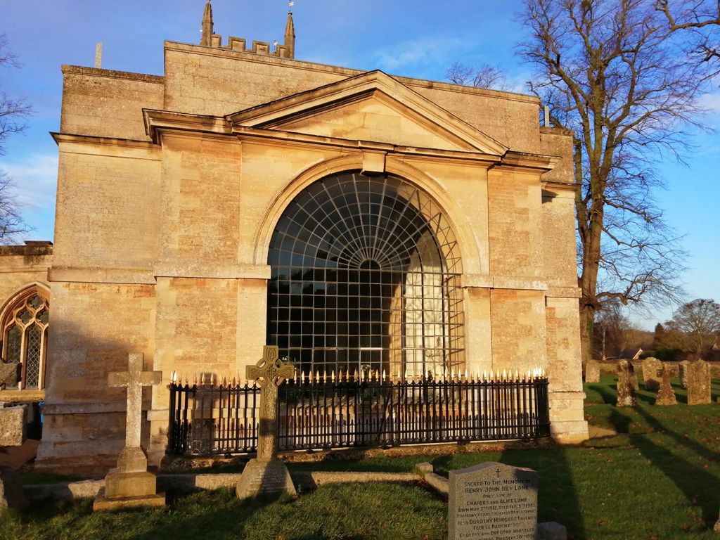
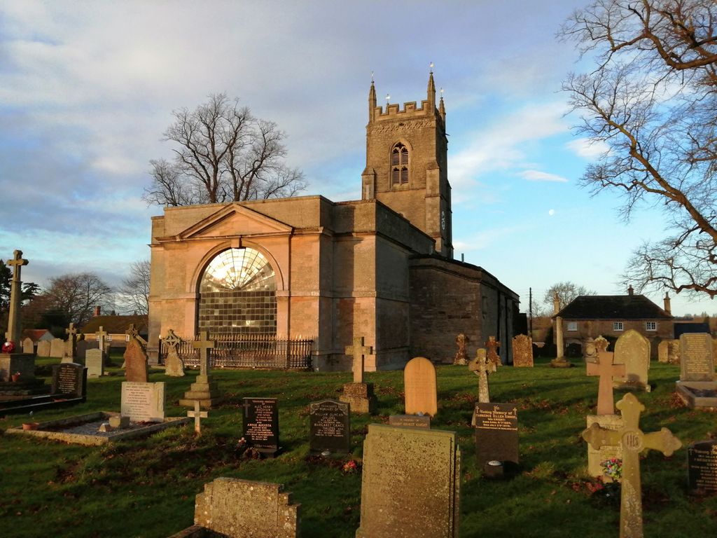
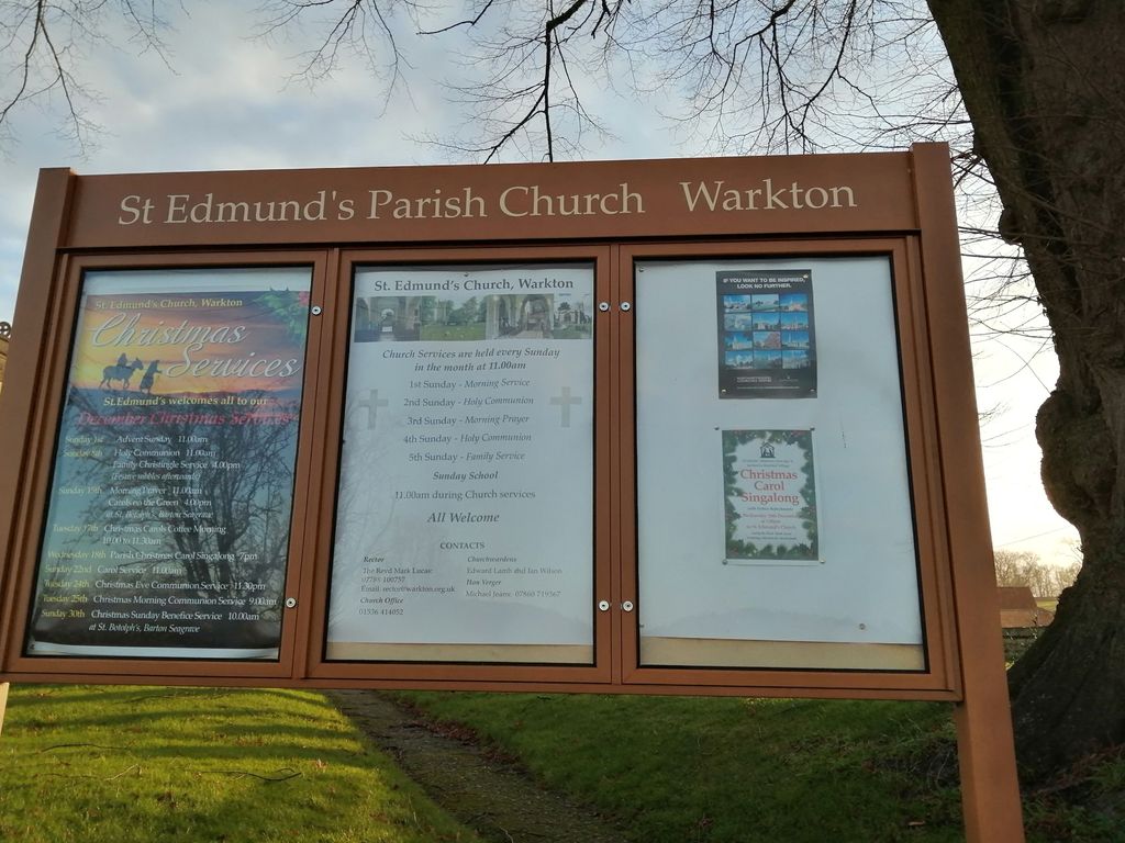
| Description | : | St Edmund’s Church is a beautiful parish church situated in the heart of the estate village of Warkton, Northamptonshire, which lies about 3 miles east of Kettering, and just south of Boughton House. The oldest elements of the church date from the 12th century, but the current church dates largely from the 15th century, though is distinguished by the 18th century chancel which was built after 1749 and commissioned by Mary Churchill, Duchess of Montagu and wife of John, 2nd Duke of Montagu, and designed by the celebrated French artist Louis François Roubiliac. The chancel was purposefully designed to house... Read More |
frequently asked questions (FAQ):
-
Where is St Edmund Churchyard?
St Edmund Churchyard is located at 45 Pipe Lane Warkton, Kettering Borough ,Northamptonshire , NN16 9XHEngland.
-
St Edmund Churchyard cemetery's updated grave count on graveviews.com?
0 memorials
-
Where are the coordinates of the St Edmund Churchyard?
Latitude: 52.4091701
Longitude: -0.6884724
Nearby Cemetories:
1. St Mary the Virgin Churchyard
Weekley, Kettering Borough, England
Coordinate: 52.4196890, -0.6952190
2. St Botolph Churchyard
Barton Seagrave, Kettering Borough, England
Coordinate: 52.3846400, -0.6961900
3. London Road Cemetery
Kettering, Kettering Borough, England
Coordinate: 52.3956500, -0.7241100
4. Saint Peter and Saint Paul Churchyard
Kettering, Kettering Borough, England
Coordinate: 52.3969000, -0.7266000
5. St. James the Apostle Churchyard
Grafton Underwood, Kettering Borough, England
Coordinate: 52.4108323, -0.6449725
6. Geddington Churchyard
Geddington, Kettering Borough, England
Coordinate: 52.4379600, -0.6845200
7. St. Andrew's Churchyard
Cranford, Kettering Borough, England
Coordinate: 52.3856700, -0.6438700
8. All Saints Churchyard
Brixworth, Daventry District, England
Coordinate: 52.3835815, -0.7309842
9. Kettering Crematorium
Kettering, Kettering Borough, England
Coordinate: 52.4054820, -0.7480680
10. St. John's Churchyard
Cranford St John, Kettering Borough, England
Coordinate: 52.3840560, -0.6391670
11. St Mary the Virgin
Burton Latimer, Kettering Borough, England
Coordinate: 52.3659000, -0.6751170
12. Burton Latimer Parish Council Cemetery
Burton Latimer, Kettering Borough, England
Coordinate: 52.3649700, -0.6738600
13. Baptist Church
Burton Latimer, Kettering Borough, England
Coordinate: 52.3642183, -0.6773429
14. Burton Latimer Cemetery
Burton Latimer, Kettering Borough, England
Coordinate: 52.3642100, -0.6733200
15. Isham Cemetery
Isham, Wellingborough Borough, England
Coordinate: 52.3597000, -0.7056800
16. Saint Peter
Isham, Wellingborough Borough, England
Coordinate: 52.3563320, -0.7021160
17. All Saints Churchyard
Thorpe Malsor, Kettering Borough, England
Coordinate: 52.4027430, -0.7760140
18. All Saints Churchyard
Pytchley, Kettering Borough, England
Coordinate: 52.3641220, -0.7384500
19. St. Nicholas' Churchyard
Twywell, East Northamptonshire Borough, England
Coordinate: 52.3936001, -0.6024166
20. St Andrew's Church
Great Cransley, Kettering Borough, England
Coordinate: 52.3816667, -0.7850000
21. Brigstock Parish Cemetery
Brigstock, East Northamptonshire Borough, England
Coordinate: 52.4552481, -0.6061781
22. Rothwell Cemetery
Rothwell, Kettering Borough, England
Coordinate: 52.4165400, -0.8000300
23. Finedon
Finedon, Wellingborough Borough, England
Coordinate: 52.3407999, -0.6648562
24. All Saints Church
Sudborough, East Northamptonshire Borough, England
Coordinate: 52.4283980, -0.5782500