| Memorials | : | 0 |
| Location | : | Wormstedt, Landkreis Weimarer Land, Germany |
| Coordinate | : | 51.0304500, 11.5991100 |
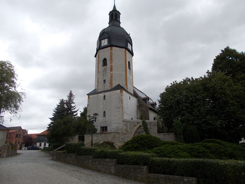
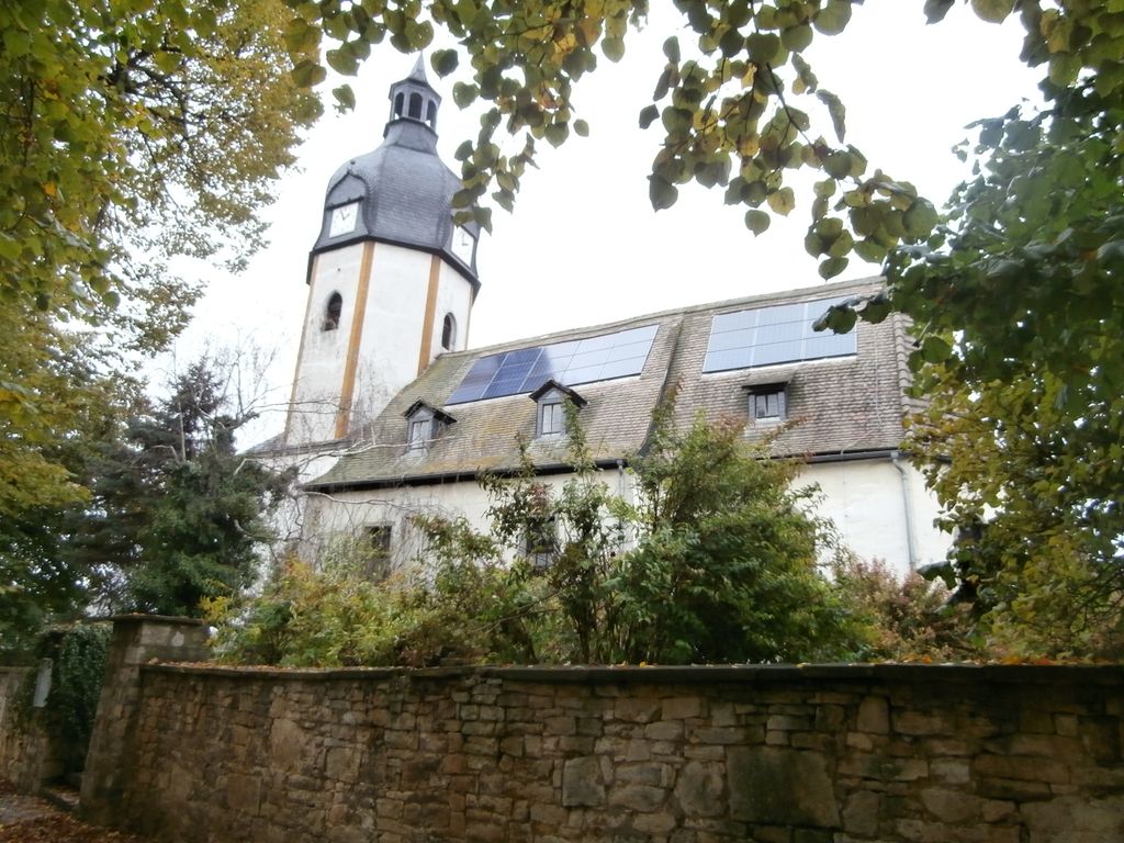
| Description | : | The Sankt-Georgskirche is in the center of the village, behind the Restaurant Zur alten Dorfschule at Hauptstraße 45. The village of Wormstedt first appears to history in the year 957 AD. The name is said to come from a legend that a dragon once lived here. The existing church was begun in 1617 and completed in 1621, in spite of the ravages of the 30 Years War. The church tower is from about the year 1200, and the view of the countryside from the tower is worth experiencing. The earliest artifact of the community was found in the churchyard -... Read More |
frequently asked questions (FAQ):
-
Where is St. Georgskirche Cemetery?
St. Georgskirche Cemetery is located at Hauptstraße 47 Wormstedt, Landkreis Weimarer Land ,Thüringen , D-99510 WoGermany.
-
St. Georgskirche Cemetery cemetery's updated grave count on graveviews.com?
0 memorials
-
Where are the coordinates of the St. Georgskirche Cemetery?
Latitude: 51.0304500
Longitude: 11.5991100
Nearby Cemetories:
1. Städtischer Friedhof
Apolda, Landkreis Weimarer Land, Germany
Coordinate: 51.0227320, 11.5318540
2. Neuengönna Gemeindefriedhof
Neuengonna, Saale-Holzland-Kreis, Germany
Coordinate: 50.9889600, 11.6495400
3. Martinskirche
Apolda, Landkreis Weimarer Land, Germany
Coordinate: 51.0241670, 11.5108330
4. Städtischer Fridhof
Bad Sulza, Landkreis Weimarer Land, Germany
Coordinate: 51.0926197, 11.6208507
5. Jenaer Nordfriedhof
Jena, Stadtkreis Jena, Germany
Coordinate: 50.9405180, 11.5883240
6. Dorfkirche
Kapellendorf, Landkreis Weimarer Land, Germany
Coordinate: 50.9750000, 11.4680560
7. Alter Johannisfriedhof
Jena, Stadtkreis Jena, Germany
Coordinate: 50.9309330, 11.5825210
8. Ostfriedhof
Jena, Stadtkreis Jena, Germany
Coordinate: 50.9303882, 11.6109683
9. Stadtkirche St. Michael
Jena, Stadtkreis Jena, Germany
Coordinate: 50.9290070, 11.5881170
10. St. Peter's Church Cemetery
Landkreis Weimarer Land, Germany
Coordinate: 51.0188710, 11.4309150
11. Wielandgut Oßmannstedt
Landkreis Weimarer Land, Germany
Coordinate: 51.0143060, 11.4289020
12. Friedhof Oßmannstedt
Landkreis Weimarer Land, Germany
Coordinate: 51.0155840, 11.4252460
13. Friedhof Wöllnitz
Jena, Stadtkreis Jena, Germany
Coordinate: 50.9065110, 11.6057960
14. Dorfkirche Wöllnitz
Jena, Stadtkreis Jena, Germany
Coordinate: 50.9047938, 11.5932921
15. Bad Kösen Friedhof
Naumburg, Burgenlandkreis, Germany
Coordinate: 51.1337270, 11.7243630
16. Friedhof Burgau
Jena, Stadtkreis Jena, Germany
Coordinate: 50.8981321, 11.5937633
17. Friedhof Schkölen
Schkölen, Saale-Holzland-Kreis, Germany
Coordinate: 51.0404525, 11.8166577
18. Friedhof Winzerla
Jena, Stadtkreis Jena, Germany
Coordinate: 50.8924698, 11.5832189
19. Friedhof Drackendorf
Jena, Stadtkreis Jena, Germany
Coordinate: 50.8881319, 11.6292275
20. Kloster Pforte
Bad Kösen, Burgenlandkreis, Germany
Coordinate: 51.1420270, 11.7527320
21. Friedhof Maua
Jena, Stadtkreis Jena, Germany
Coordinate: 50.8676386, 11.6003404
22. Herderkirche
Weimar, Stadtkreis Weimar, Germany
Coordinate: 50.9811211, 11.3292322
23. Jakobsfriedhof
Weimar, Stadtkreis Weimar, Germany
Coordinate: 50.9832687, 11.3274193
24. Saint Jacobs Church
Weimar, Stadtkreis Weimar, Germany
Coordinate: 50.9834240, 11.3273470


