
| Memorials | : | 0 |
| Location | : | Defford, Wychavon District, England |
| Coordinate | : | 52.0867436, -2.1241533 |
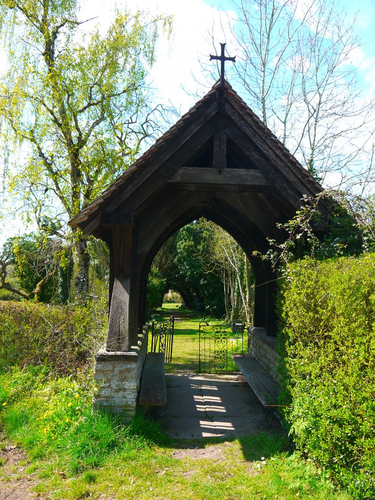
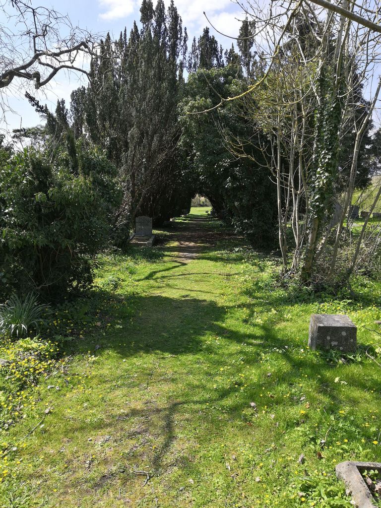
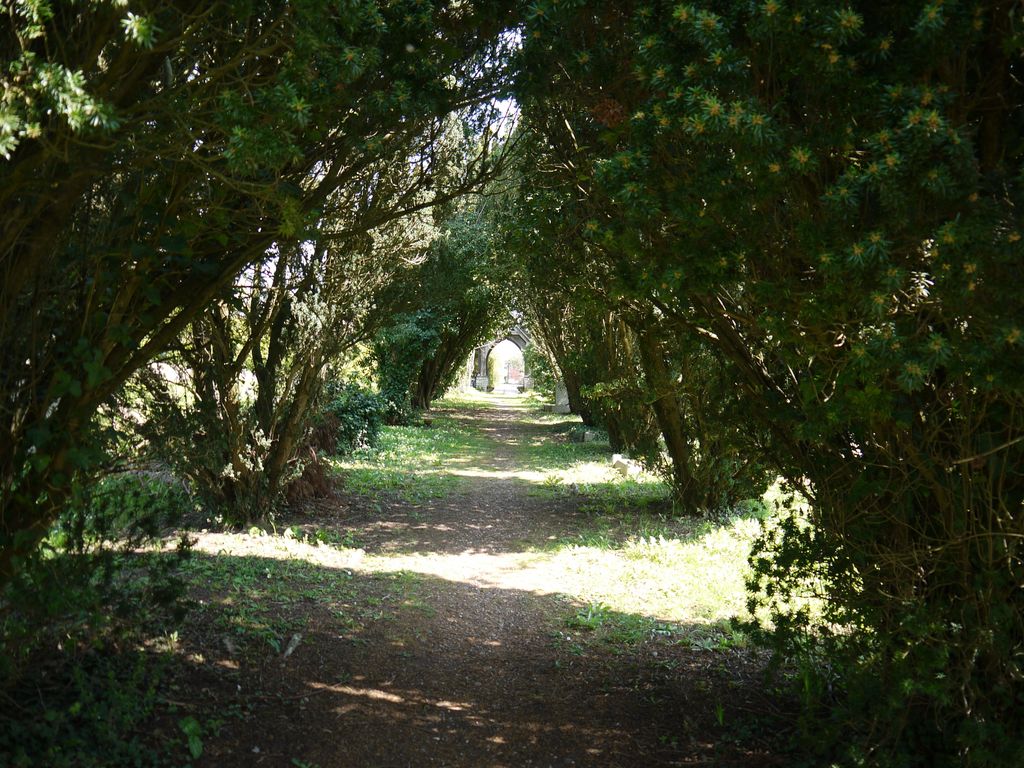
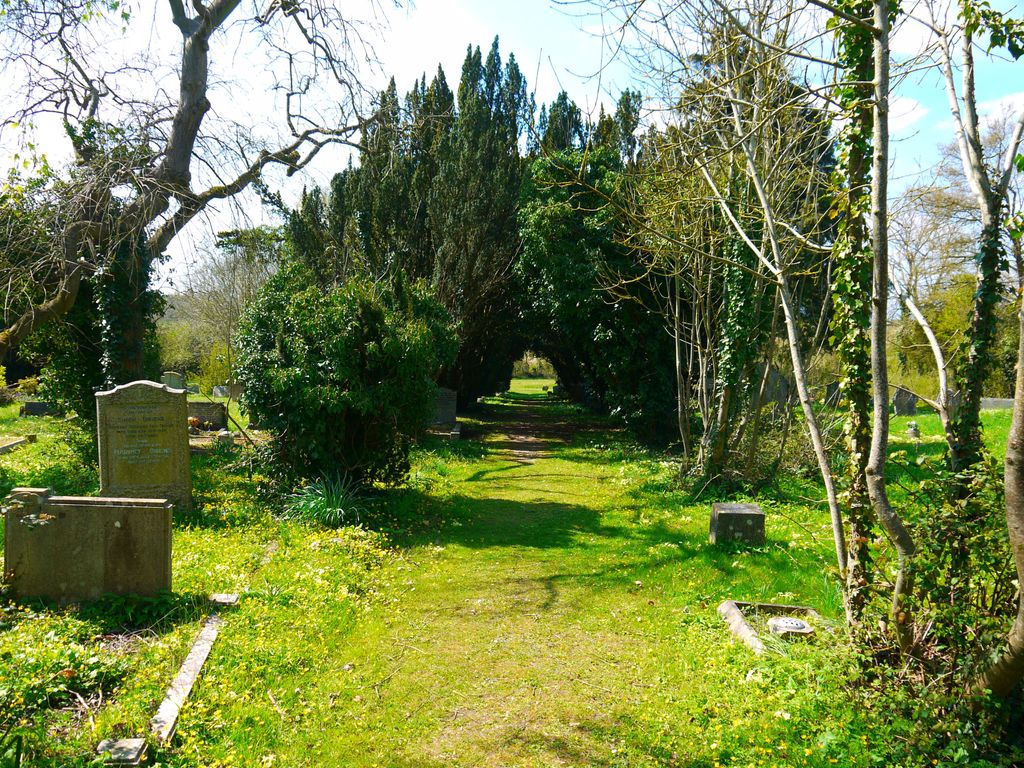
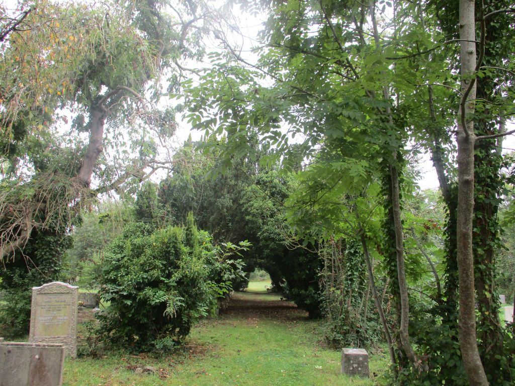
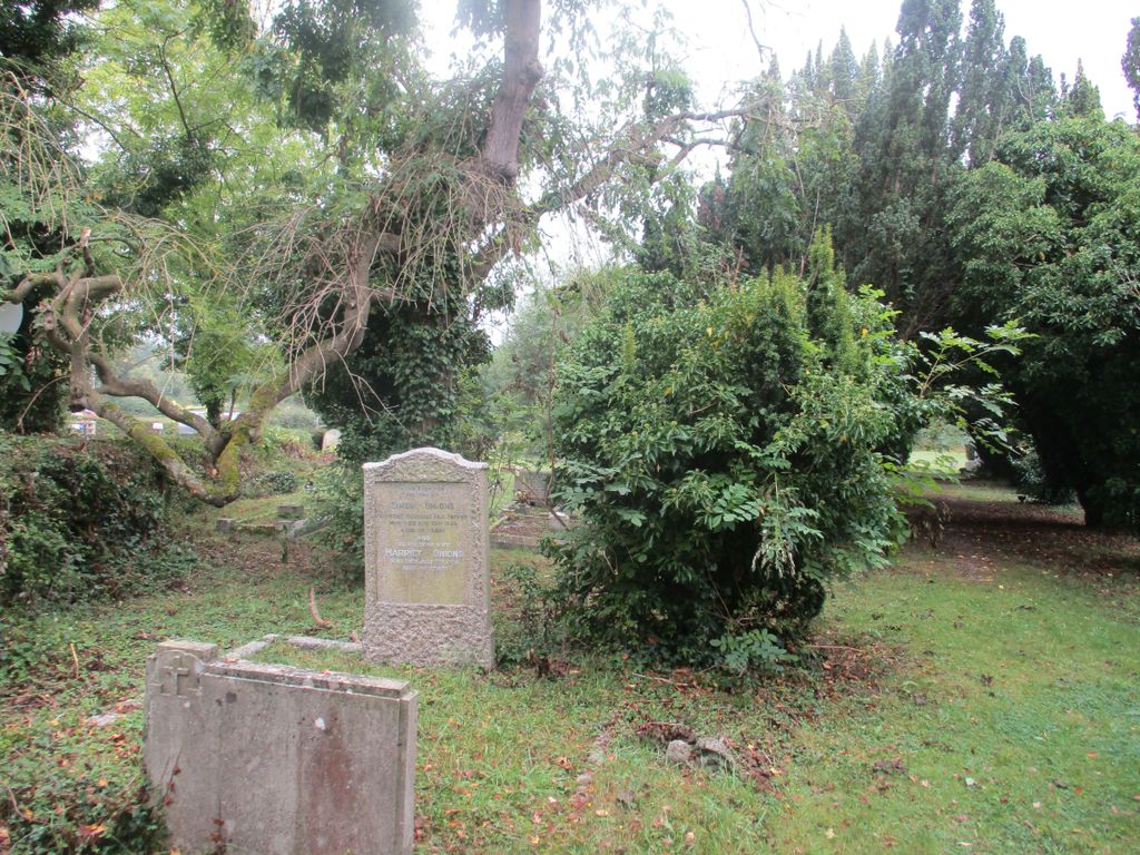
| Description | : | Extension to the existing St James Churchyard About 200meters west along Harpley Road from the Church itself. |
frequently asked questions (FAQ):
-
Where is St. James' Churchyard Extension?
St. James' Churchyard Extension is located at Harpley Road Defford, Wychavon District ,Worcestershire , WR8 9BLEngland.
-
St. James' Churchyard Extension cemetery's updated grave count on graveviews.com?
0 memorials
-
Where are the coordinates of the St. James' Churchyard Extension?
Latitude: 52.0867436
Longitude: -2.1241533
Nearby Cemetories:
1. St. James' Churchyard
Defford, Wychavon District, England
Coordinate: 52.0872200, -2.1222200
2. St James the Great Churchyard
Birlingham, Wychavon District, England
Coordinate: 52.0867900, -2.0999800
3. Eckington Cemetery
Eckington, Wychavon District, England
Coordinate: 52.0727800, -2.1153300
4. St. Peter Churchyard
Besford, Wychavon District, England
Coordinate: 52.1011800, -2.1315300
5. Holy Trinity Churchyard
Eckington, Wychavon District, England
Coordinate: 52.0709600, -2.1148800
6. St. John the Baptist Churchyard
Strensham, Wychavon District, England
Coordinate: 52.0639800, -2.1315500
7. Pershore Cemetery
Pershore, Wychavon District, England
Coordinate: 52.1060680, -2.0915320
8. St. Mary Magdalene Churchyard
Croome D'Abitot, Malvern Hills District, England
Coordinate: 52.1035400, -2.1671700
9. St. Mary's Churchyard
Hill Croome, Malvern Hills District, England
Coordinate: 52.0619170, -2.1650127
10. St Michaels & All Angels Churchyard
Great Comberton, Wychavon District, England
Coordinate: 52.0770774, -2.0671291
11. Pershore Abbey Burial Ground
Pershore, Wychavon District, England
Coordinate: 52.1104600, -2.0775300
12. St Andrew Churchyard
Pershore, Wychavon District, England
Coordinate: 52.1106200, -2.0768300
13. St Giles Chapel of Ease Churchyard
Bredons Norton, Wychavon District, England
Coordinate: 52.0494500, -2.1019800
14. St. Nicholas Churchyard
Earls Croome, Malvern Hills District, England
Coordinate: 52.0764330, -2.1906110
15. St. Peter's Churchyard
Pirton, Wychavon District, England
Coordinate: 52.1196530, -2.1687410
16. St. Peter's Churchyard
Little Comberton, Wychavon District, England
Coordinate: 52.0832332, -2.0495423
17. St. Mary's Churchyard
Wick, Wychavon District, England
Coordinate: 52.1058700, -2.0559500
18. St. Barnabas Churchyard
Drakes Broughton, Wychavon District, England
Coordinate: 52.1346500, -2.1081300
19. St. Deny's Chyrchyard
Severn Stoke, Malvern Hills District, England
Coordinate: 52.0940600, -2.2116400
20. St. Anne's Churchyard
Wyre Piddle, Wychavon District, England
Coordinate: 52.1238800, -2.0571000
21. St. Giles Churchyard
Bredon, Wychavon District, England
Coordinate: 52.0312000, -2.1172000
22. St. Michael & All Angels Churchyard
Bricklehampton, Wychavon District, England
Coordinate: 52.0805000, -2.0282400
23. St. Benet's Catholic Churchyard
Kemerton, Wychavon District, England
Coordinate: 52.0347200, -2.0756200
24. St. Edmund Churchyard
Stoulton, Wychavon District, England
Coordinate: 52.1465260, -2.1380850