
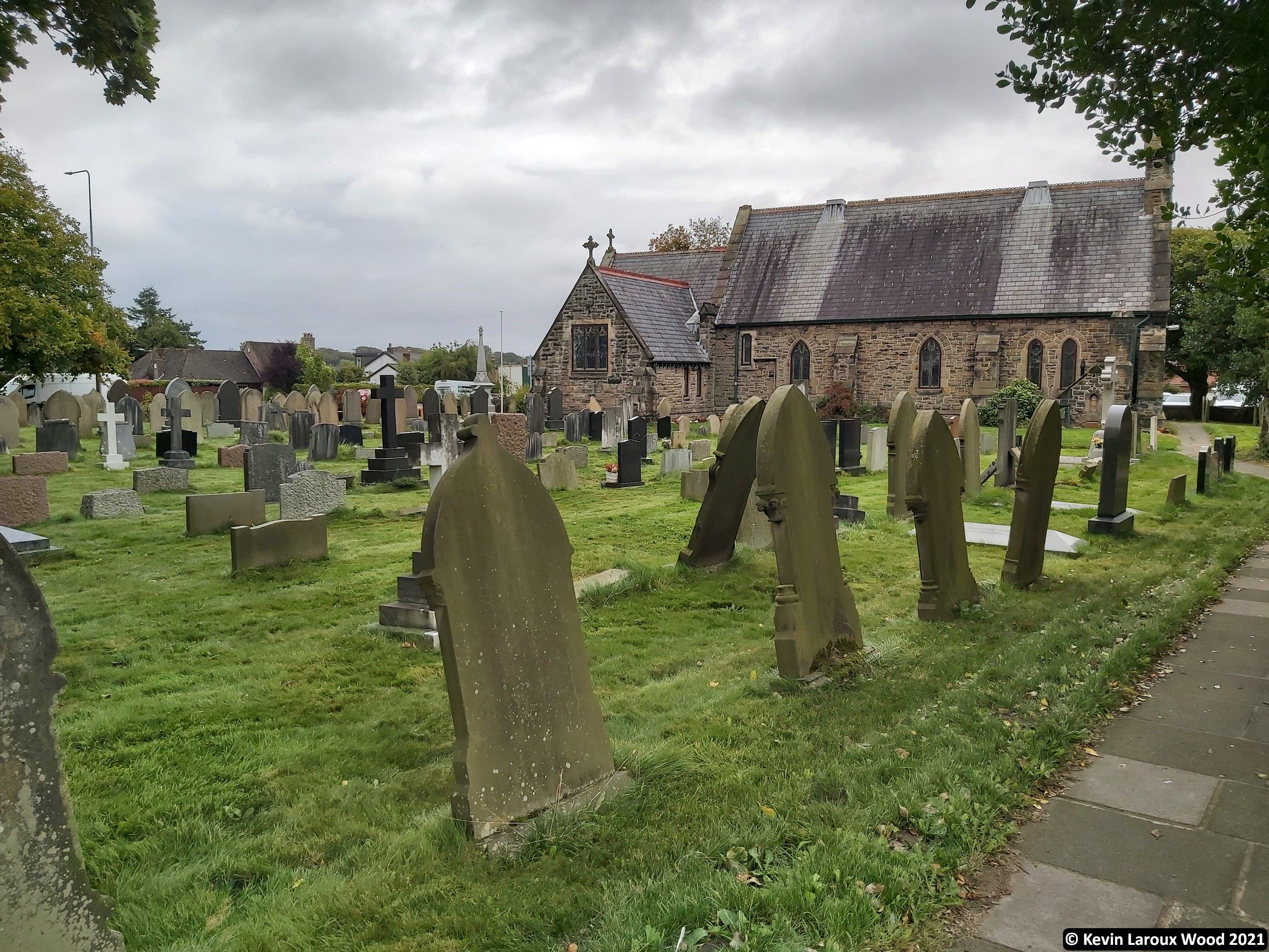
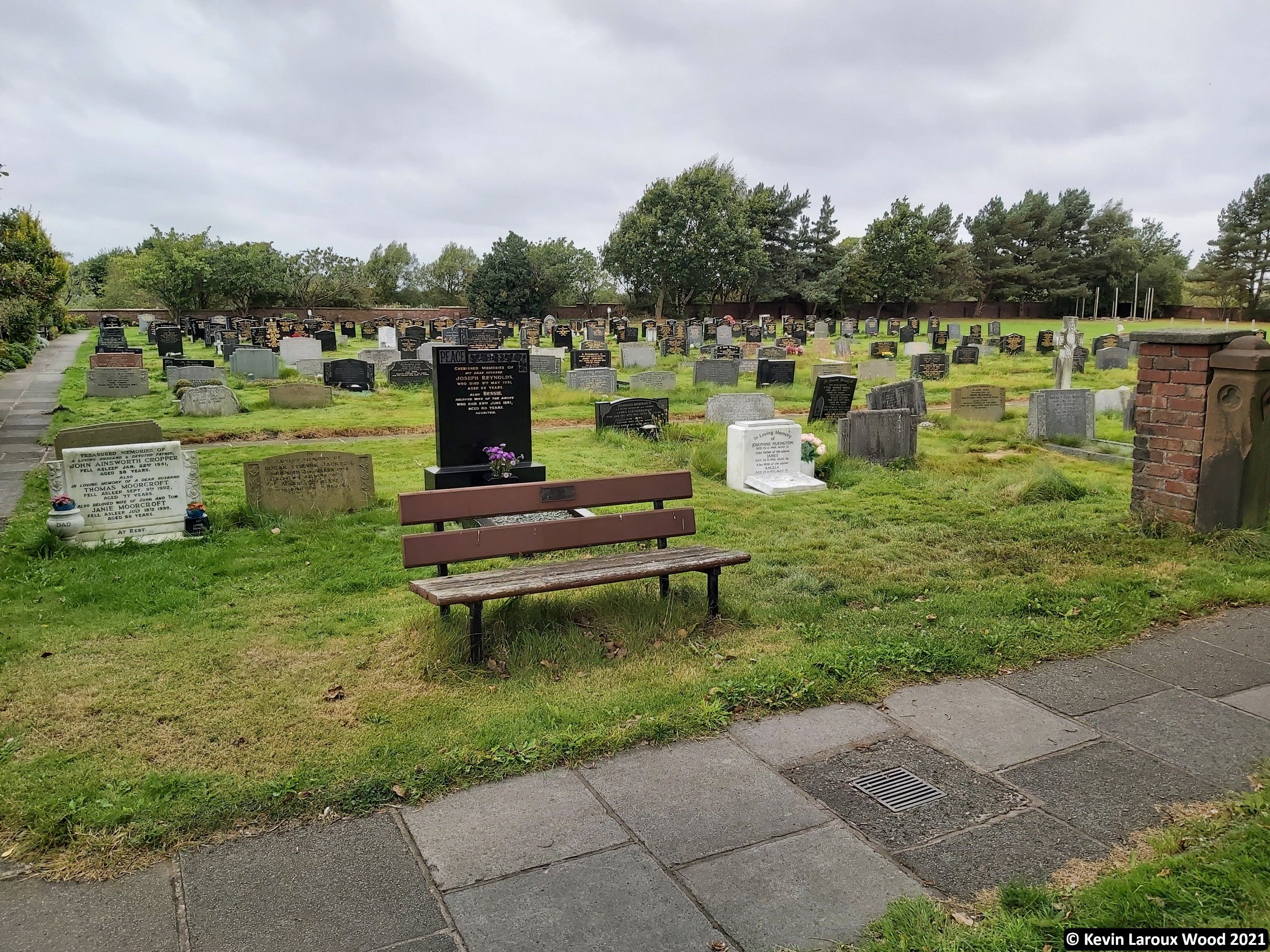
| Memorials | : | 1233 |
| Location | : | Scarisbrick, West Lancashire District, England |
| Coordinate | : | 53.6134600, -2.9403800 |
| Description | : | Scarisbrick (commonly pronounced as "Scays-brick" or "Scares-brick") is a village and civil parish in West Lancashire, England. It is spread out along the A570 (the main road between Ormskirk and Southport) so there is no real village centre, though the junction with the A5147 is close to the geographic centre. It claims to be England's largest Anglican parish. |
frequently asked questions (FAQ):
-
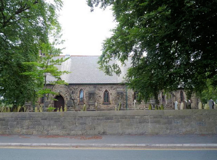
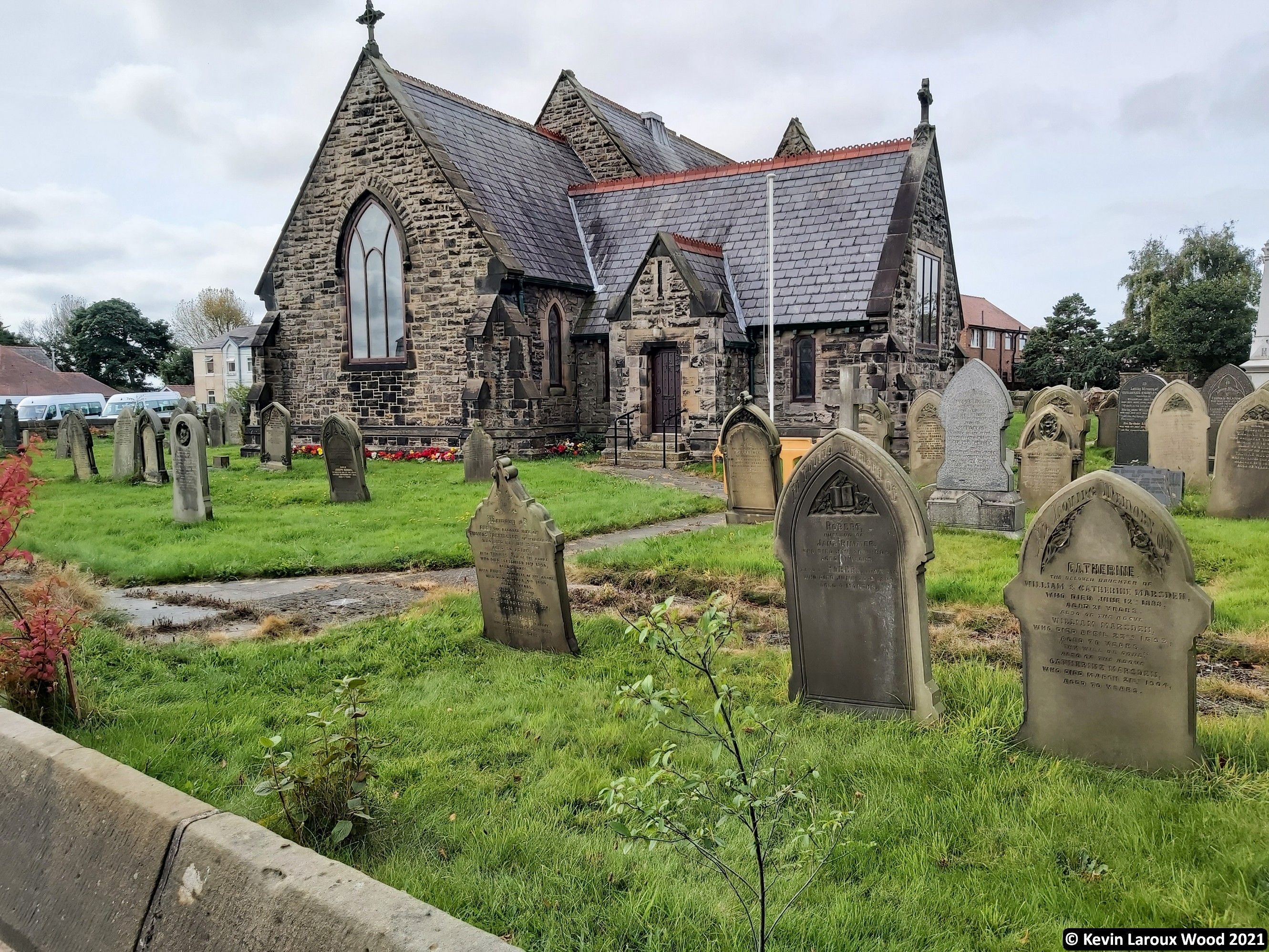
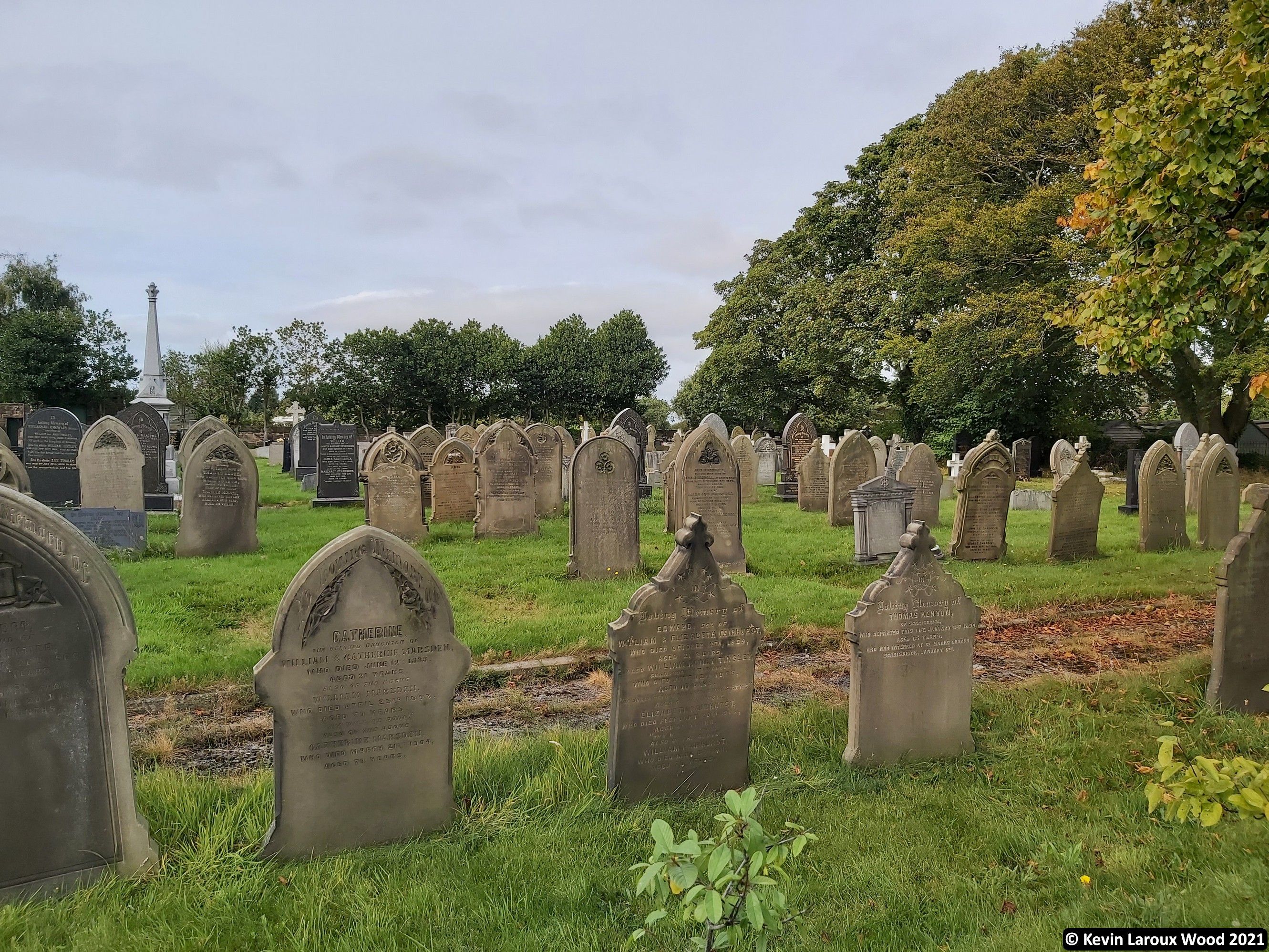
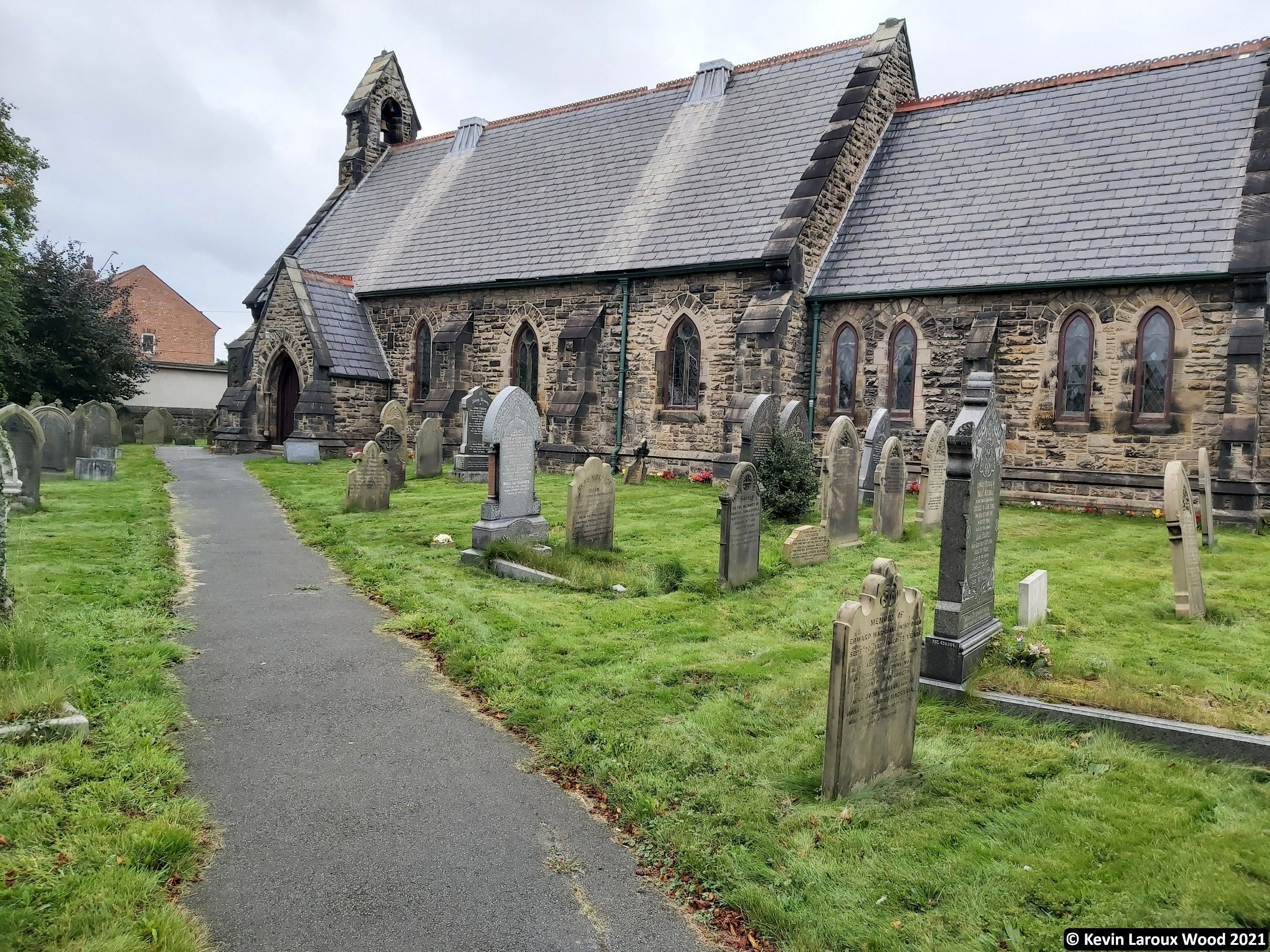
Where is St. Mark Churchyard?
St. Mark Churchyard is located at Southport Road Scarisbrick, West Lancashire District ,Lancashire , L40 9REEngland.
-
St. Mark Churchyard cemetery's updated grave count on graveviews.com?
1230 memorials
-
Where are the coordinates of the St. Mark Churchyard?
Latitude: 53.6134600
Longitude: -2.9403800
Nearby Cemetories:
1. St. Elizabeth's Churchyard
Scarisbrick, West Lancashire District, England
Coordinate: 53.6124460, -2.9206340
2. Southport Crematorium
Scarisbrick, West Lancashire District, England
Coordinate: 53.6235810, -2.9600210
3. St. Cuthbert's Churchyard
Halsall, West Lancashire District, England
Coordinate: 53.5852140, -2.9529650
4. Ardwick Cemetery
Ardwick, Metropolitan Borough of Manchester, England
Coordinate: 53.6302778, -2.9900000
5. Christ Church Churchyard
Southport, Metropolitan Borough of Sefton, England
Coordinate: 53.6327778, -2.9953770
6. Duke Street Cemetery
Southport, Metropolitan Borough of Sefton, England
Coordinate: 53.6343536, -2.9993131
7. West Lancashire Cemetery and Crematorium
Burscough, West Lancashire District, England
Coordinate: 53.5875500, -2.8820300
8. St Cuthberts Churchyard
Southport, Metropolitan Borough of Sefton, England
Coordinate: 53.6603230, -2.9620310
9. Holy Trinity Church
Southport, Metropolitan Borough of Sefton, England
Coordinate: 53.6503800, -2.9969150
10. Liverpool Road Cemetery
Birkdale, Metropolitan Borough of Sefton, England
Coordinate: 53.6083620, -3.0257140
11. Emmanuel Parish Church
Southport, Metropolitan Borough of Sefton, England
Coordinate: 53.6604534, -2.9748117
12. Emmanuel Church Garden of Remembrance
North Meols, West Lancashire District, England
Coordinate: 53.6607130, -2.9753420
13. Sacred Heart RC Cemetery
Birkdale, Metropolitan Borough of Sefton, England
Coordinate: 53.6066100, -3.0270100
14. St. Marie on the Sands
Southport, Metropolitan Borough of Sefton, England
Coordinate: 53.6524320, -3.0023440
15. St Peter and St Paul Churchyard
Ormskirk, West Lancashire District, England
Coordinate: 53.5692640, -2.8877690
16. Saint Anne's Roman Catholic Church Cemetery
Ormskirk, West Lancashire District, England
Coordinate: 53.5626520, -2.8935560
17. Burscough Priory
Burscough, West Lancashire District, England
Coordinate: 53.5830270, -2.8565030
18. Christ Churchyard
Aughton, West Lancashire District, England
Coordinate: 53.5583510, -2.9046990
19. Saint John Crossens Churchyard
Crossens, Metropolitan Borough of Sefton, England
Coordinate: 53.6733410, -2.9478740
20. St John the Baptist Churchyard
Burscough, West Lancashire District, England
Coordinate: 53.6042760, -2.8401390
21. St John The Evangelist Roman Catholic Church
Burscough, West Lancashire District, England
Coordinate: 53.5902152, -2.8424163
22. St. Stephen's Churchyard
North Meols, West Lancashire District, England
Coordinate: 53.6813720, -2.9248140
23. St Thomas Churchyard
Lydiate, Metropolitan Borough of Sefton, England
Coordinate: 53.5443480, -2.9621640
24. Saint Michael's Churchyard
Aughton, West Lancashire District, England
Coordinate: 53.5419170, -2.9197240