
| Memorials | : | 207 |
| Location | : | Orlingbury, Wellingborough Borough, England |
| Coordinate | : | 52.3426000, -0.7397000 |
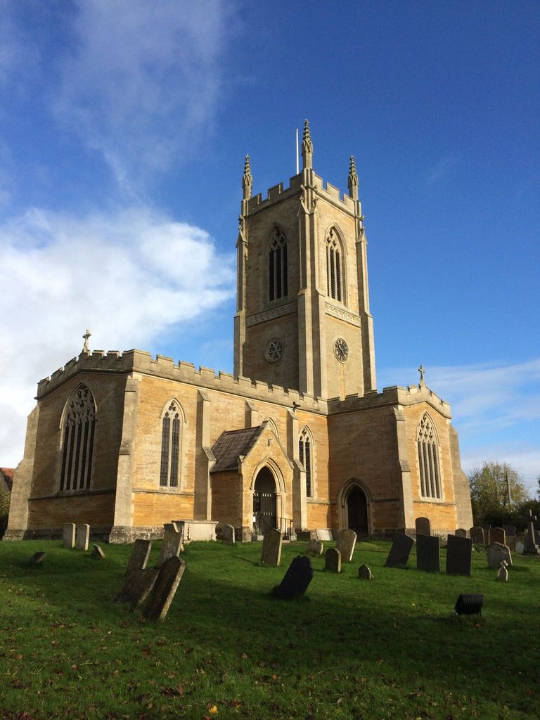
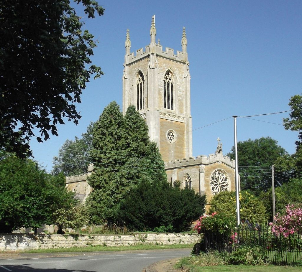
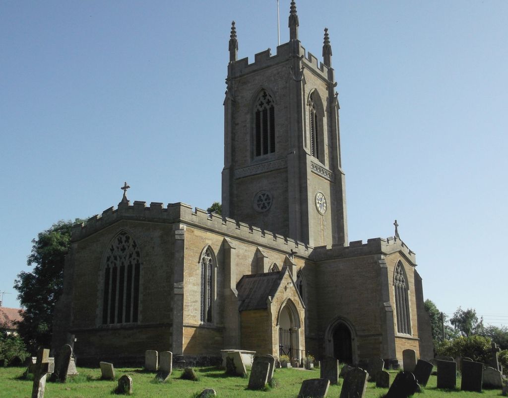
| Description | : | Grade:II Rebuilt in 1843 by R.C. Hussey, on the site of a Medieval church. The octagonal font is possibly Norman. |
frequently asked questions (FAQ):
-
Where is St. Mary's Churchyard?
St. Mary's Churchyard is located at Pytchley Road Orlingbury, Wellingborough Borough ,Northamptonshire , NN14 1JAEngland.
-
St. Mary's Churchyard cemetery's updated grave count on graveviews.com?
207 memorials
-
Where are the coordinates of the St. Mary's Churchyard?
Latitude: 52.3426000
Longitude: -0.7397000
Nearby Cemetories:
1. St Mary the Virgin
Little Harrowden, Wellingborough Borough, England
Coordinate: 52.3362282, -0.7223209
2. All Saints Churchyard
Pytchley, Kettering Borough, England
Coordinate: 52.3641220, -0.7384500
3. All Saints Churchyard
Great Harrowden, Wellingborough Borough, England
Coordinate: 52.3286800, -0.7096600
4. St. Leonard Churchyard
Hardwick, Wellingborough Borough, England
Coordinate: 52.3195551, -0.7533578
5. Saint Peter
Isham, Wellingborough Borough, England
Coordinate: 52.3563320, -0.7021160
6. Isham Cemetery
Isham, Wellingborough Borough, England
Coordinate: 52.3597000, -0.7056800
7. All Saints Churchyard
Brixworth, Daventry District, England
Coordinate: 52.3835815, -0.7309842
8. Baptist Church
Burton Latimer, Kettering Borough, England
Coordinate: 52.3642183, -0.6773429
9. Finedon
Finedon, Wellingborough Borough, England
Coordinate: 52.3407999, -0.6648562
10. St Mary the Virgin
Burton Latimer, Kettering Borough, England
Coordinate: 52.3659000, -0.6751170
11. Burton Latimer Cemetery
Burton Latimer, Kettering Borough, England
Coordinate: 52.3642100, -0.6733200
12. Burton Latimer Parish Council Cemetery
Burton Latimer, Kettering Borough, England
Coordinate: 52.3649700, -0.6738600
13. St Andrew's Church
Great Cransley, Kettering Borough, England
Coordinate: 52.3816667, -0.7850000
14. Saint Mary the Virgin Churchyard Extension
Finedon, Wellingborough Borough, England
Coordinate: 52.3385489, -0.6613748
15. All Hallows Churchyard
Wellingborough Borough, England
Coordinate: 52.3024740, -0.6937430
16. St Botolph Churchyard
Barton Seagrave, Kettering Borough, England
Coordinate: 52.3846400, -0.6961900
17. St. Peter's Churchyard
Walgrave, Daventry District, England
Coordinate: 52.3404255, -0.8248900
18. All Saints Churchyard
Wellingborough, Wellingborough Borough, England
Coordinate: 52.3010890, -0.6879730
19. London Road Cemetery
Kettering, Kettering Borough, England
Coordinate: 52.3956500, -0.7241100
20. London Road Cemetery
Wellingborough, Wellingborough Borough, England
Coordinate: 52.2986000, -0.6878000
21. All Saints Churchyard
Mears Ashby, Wellingborough Borough, England
Coordinate: 52.2916990, -0.7721170
22. Saint Peter and Saint Paul Churchyard
Kettering, Kettering Borough, England
Coordinate: 52.3969000, -0.7266000
23. Doddington Road Cemetery
Wellingborough, Wellingborough Borough, England
Coordinate: 52.2942380, -0.6956600
24. Saint Mary Churchyard
Wilby, Wellingborough Borough, England
Coordinate: 52.2868890, -0.7309180