
| Memorials | : | 1 |
| Location | : | Bungay, Waveney District, England |
| Coordinate | : | 52.4555100, 1.4375800 |
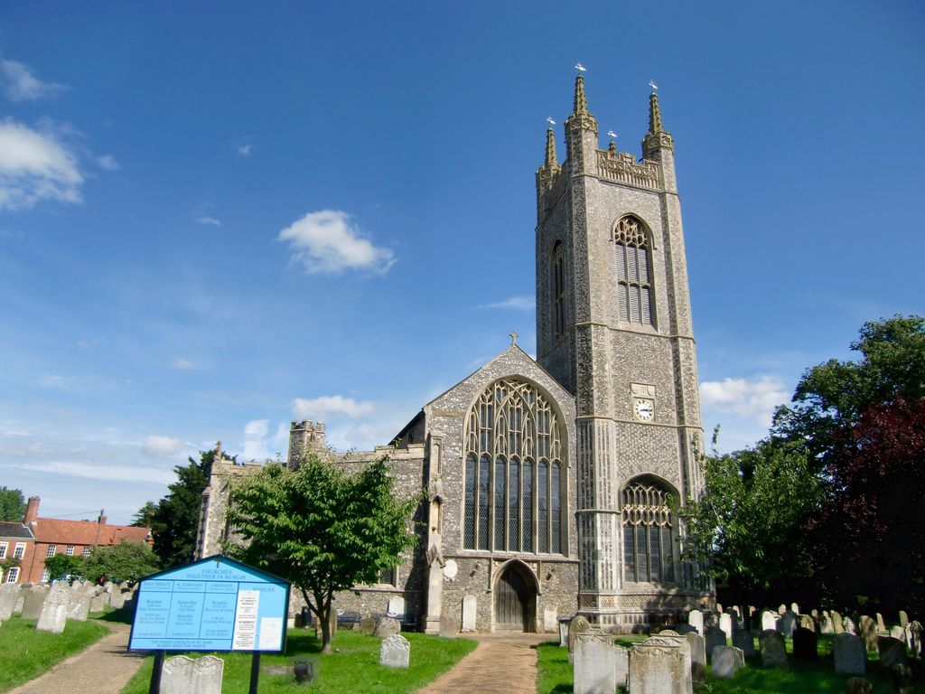
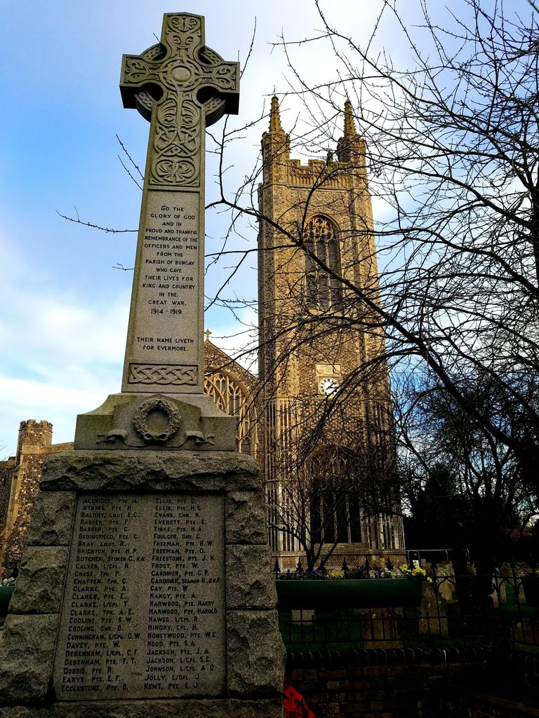
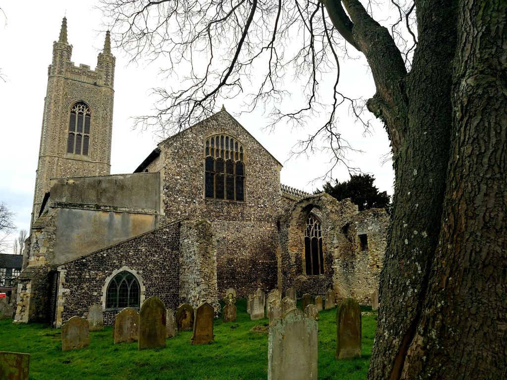
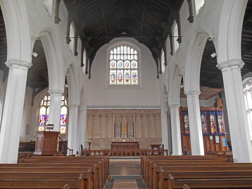
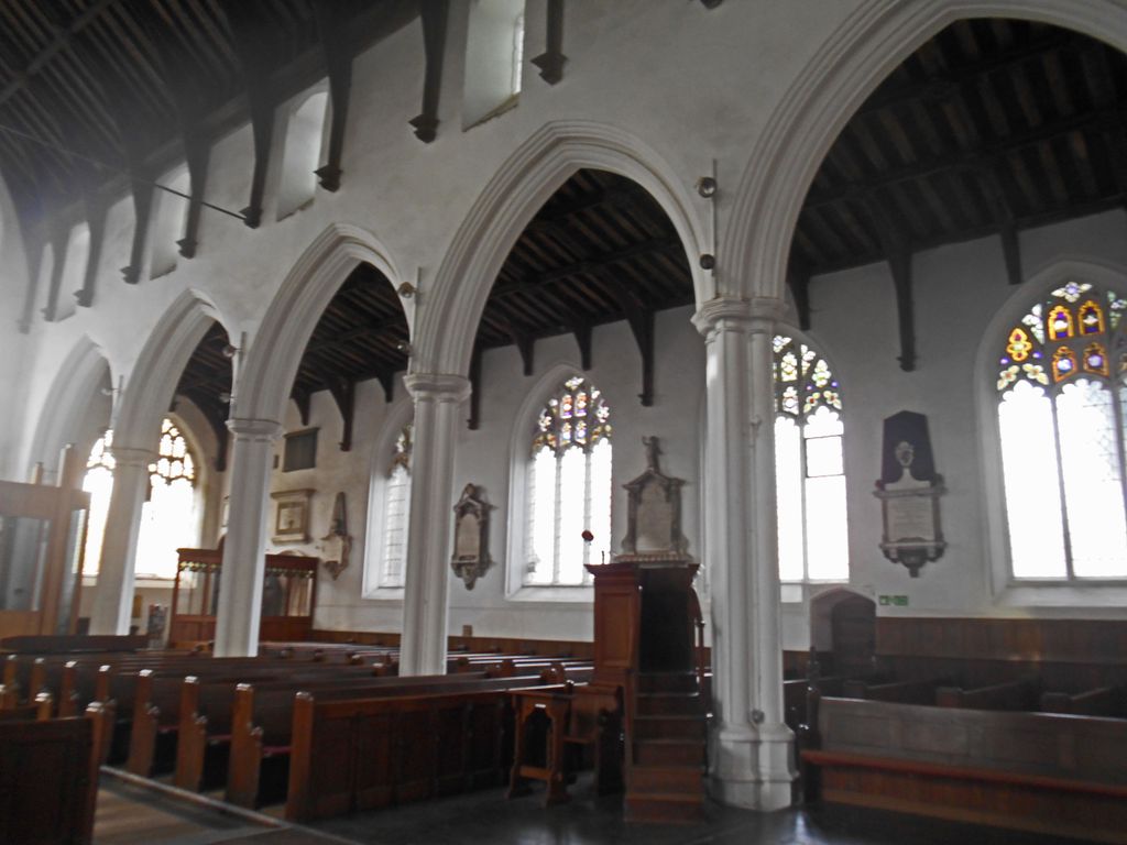
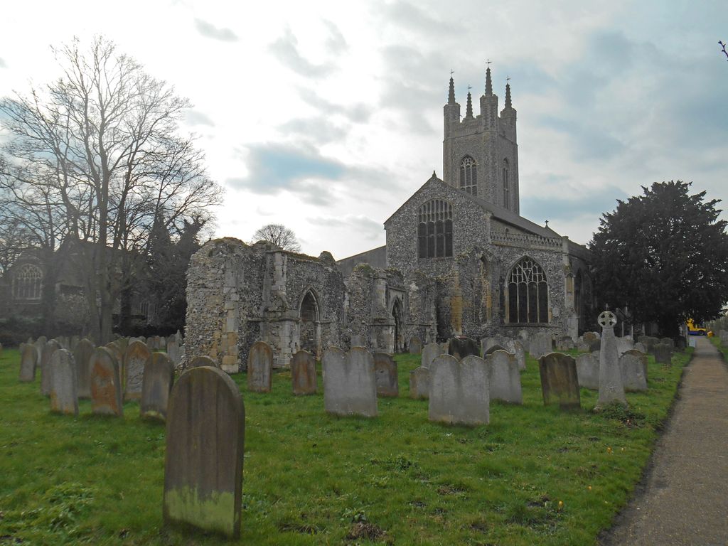
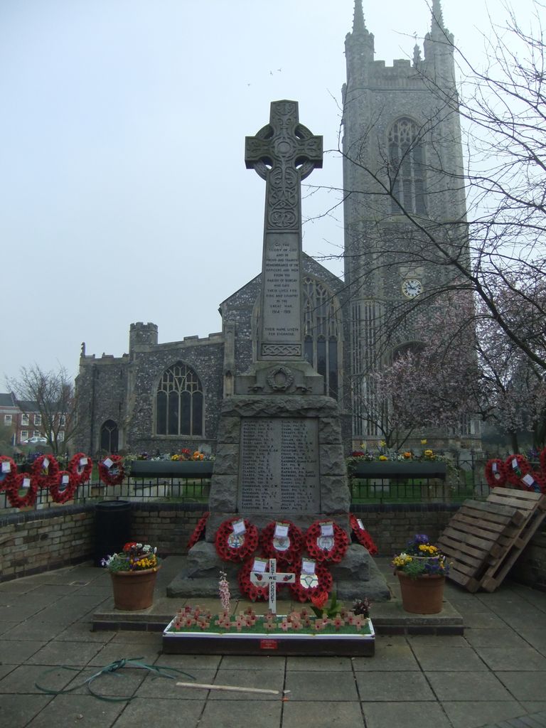
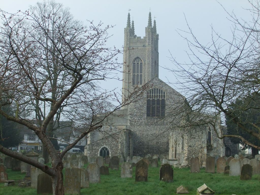
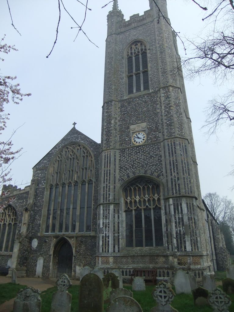
| Description | : | St. Mary's was built as the church to a Benedictine priory. This was established in the late 12th century, but the main part of the present church dates from the 14th–15th century. The Domesday Survey records a church dedicated to the Holy Cross in the town, and it is thought that St Mary's stands on the site of an earlier Saxon church. The priory was closed in 1536 as a result of the dissolution of the monasteries, St Mary's became a parish church, and a grammar school was established in one of the priory's chapels. The church was damaged in... Read More |
frequently asked questions (FAQ):
-
Where is St. Mary's Churchyard and Priory?
St. Mary's Churchyard and Priory is located at Bungay, Waveney District ,Suffolk ,England.
-
St. Mary's Churchyard and Priory cemetery's updated grave count on graveviews.com?
1 memorials
-
Where are the coordinates of the St. Mary's Churchyard and Priory?
Latitude: 52.4555100
Longitude: 1.4375800
Nearby Cemetories:
1. St Edmunds RC Churchyard
Bungay, Waveney District, England
Coordinate: 52.4550570, 1.4381220
2. Holy Trinity Churchyard
Bungay, Waveney District, England
Coordinate: 52.4553310, 1.4399650
3. Emmanuel Church Cemetery
Bungay, Waveney District, England
Coordinate: 52.4526800, 1.4382410
4. Bungay Cemetery
Bungay, Waveney District, England
Coordinate: 52.4475475, 1.4444244
5. All Saints Churchyard
Earsham, South Norfolk District, England
Coordinate: 52.4480480, 1.4212330
6. St. Mary's Churchyard
Ditchingham, South Norfolk District, England
Coordinate: 52.4776358, 1.4282946
7. All Saints Churchyard
Mettingham, Waveney District, England
Coordinate: 52.4566620, 1.4764720
8. Ditchingham Cemetery
Ditchingham, South Norfolk District, England
Coordinate: 52.4793614, 1.4307304
9. Saint John Churchyard
Ilketshall St John, Waveney District, England
Coordinate: 52.4349960, 1.4707000
10. St Michael's Churchyard
Broome, South Norfolk District, England
Coordinate: 52.4860360, 1.4547410
11. St Mary's Churchyard
Ellingham, South Norfolk District, England
Coordinate: 52.4739393, 1.4827976
12. Flixton Abbey
Flixton (West), Waveney District, England
Coordinate: 52.4292800, 1.3996050
13. St. Mary Churchyard
Flixton (West), Waveney District, England
Coordinate: 52.4292500, 1.3995130
14. Wangford Union Workhouse Cemetery
Shipmeadow, Waveney District, England
Coordinate: 52.4540960, 1.4997050
15. St. Peter's Churchyard
Hedenham, South Norfolk District, England
Coordinate: 52.4891780, 1.4041660
16. St. Bartholomew's Churchyard
Shipmeadow, Waveney District, England
Coordinate: 52.4557540, 1.5046408
17. St. Lawrence Churchyard
Ilketshall St Lawrence, Waveney District, England
Coordinate: 52.4238442, 1.4805667
18. St. Margaret's Churchyard
Ilketshall St Margaret, Waveney District, England
Coordinate: 52.4147800, 1.4537760
19. Saint Andrew's Churchyard
Ilketshall St Andrew, Waveney District, England
Coordinate: 52.4306782, 1.4972047
20. St. Peter's Churchyard
Waveney District, England
Coordinate: 52.4114350, 1.4333280
21. Ilketshall St Andrew Cemetery
Ilketshall St Andrew, Waveney District, England
Coordinate: 52.4314376, 1.4994534
22. St. Mary's Churchyard
Denton, South Norfolk District, England
Coordinate: 52.4364500, 1.3618770
23. All Saints Churchyard
Kirby Cane, South Norfolk District, England
Coordinate: 52.4937500, 1.4952820
24. United Reformed Churchyard
Denton, South Norfolk District, England
Coordinate: 52.4465510, 1.3532090