
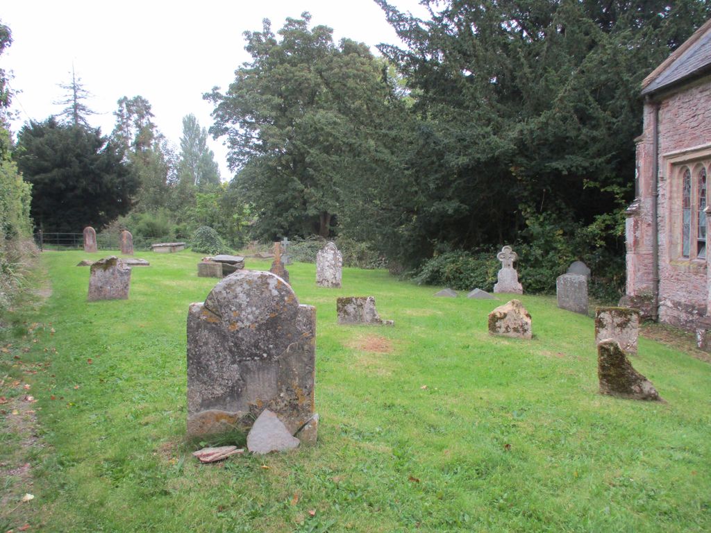
| Memorials | : | 0 |
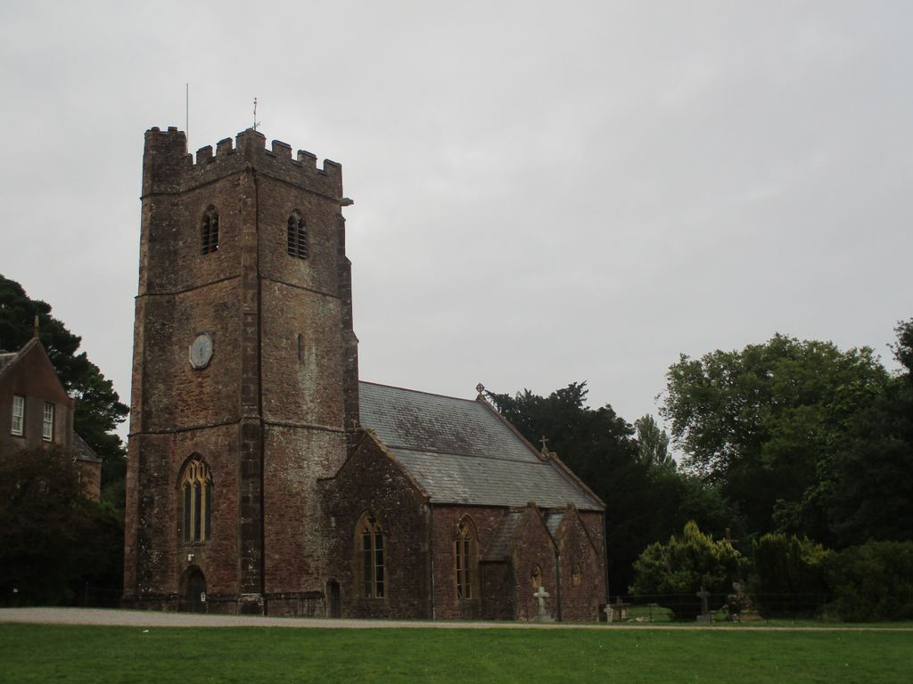
| Location | : | Nettlecombe, West Somerset District, England |
| Coordinate | : | 51.1312930, -3.3491000 |
frequently asked questions (FAQ):
-
Where is St Mary Church?
St Mary Church is located at Nettlecombe, West Somerset District ,Somerset ,England.
-
St Mary Church cemetery's updated grave count on graveviews.com?
0 memorials
-
Where are the coordinates of the St Mary Church?
Latitude: 51.1312930
Longitude: -3.3491000
Nearby Cemetories:
1. All Saints Churchyard
Monksilver, West Somerset District, England
Coordinate: 51.1287770, -3.3262800
2. St. Giles Churchyard of Leighland
Old Cleeve, West Somerset District, England
Coordinate: 51.1199950, -3.3842729
3. St Peter's Churchyard
Williton, West Somerset District, England
Coordinate: 51.1584870, -3.3235670
4. St. Martin de Tours Churchyard
Elworthy, West Somerset District, England
Coordinate: 51.1066110, -3.3113586
5. St. George's Churchyard
Sampford Brett, West Somerset District, England
Coordinate: 51.1538990, -3.3033380
6. St. Mary of Stogumber Churchyard
Stogumber, West Somerset District, England
Coordinate: 51.1276170, -3.2902340
7. St. Andrew's Parish of Old Cleeve Churchyard
Old Cleeve, West Somerset District, England
Coordinate: 51.1683560, -3.3733090
8. Treborough Parish Churchyard
Treborough, West Somerset District, England
Coordinate: 51.1180220, -3.4147610
9. Watchet Town Cemetery
Watchet, West Somerset District, England
Coordinate: 51.1745790, -3.3379850
10. St Decuman's Churchyard
Watchet, West Somerset District, England
Coordinate: 51.1757020, -3.3383800
11. St Nicholas Churchyard
Withycombe, West Somerset District, England
Coordinate: 51.1624530, -3.4096990
12. Saint George Churchyard
Bicknoller, West Somerset District, England
Coordinate: 51.1472610, -3.2722430
13. Blessed Virgin Mary Churchyard
Brompton Ralph, West Somerset District, England
Coordinate: 51.0830230, -3.3077060
14. St. Audries Churchyard
West Quantoxhead, West Somerset District, England
Coordinate: 51.1688420, -3.2717650
15. Saint John the Baptist Churchyard
Carhampton, West Somerset District, England
Coordinate: 51.1746000, -3.4186000
16. Saint Mary Magdalene Churchyard
Clatworthy, West Somerset District, England
Coordinate: 51.0698450, -3.3534250
17. St John The Baptist Churchyard
Tolland, Taunton Deane Borough, England
Coordinate: 51.0826570, -3.2856680
18. St Mary Magdalene Churchyard
Withiel Florey, West Somerset District, England
Coordinate: 51.0906773, -3.4478871
19. Blesssed Virgin Mary Churchyard
Luxborough, West Somerset District, England
Coordinate: 51.1321490, -3.4680500
20. Holy Ghost Churchyard
Crowcombe, West Somerset District, England
Coordinate: 51.1232260, -3.2293260
21. St. Peter's Churchyard Huish Champflower
Chipstable, Taunton Deane Borough, England
Coordinate: 51.0543700, -3.3580940
22. Priory Churchyard of St. George
Dunster, West Somerset District, England
Coordinate: 51.1832000, -3.4459000
23. Grabbist Hill Cemetery
Dunster, West Somerset District, England
Coordinate: 51.1820510, -3.4492540
24. George Street Cemetery
Dunster, West Somerset District, England
Coordinate: 51.1833740, -3.4483046