
| Memorials | : | 5 |
| Location | : | Melton Constable, North Norfolk District, England |
| Coordinate | : | 52.8605700, 1.0337300 |
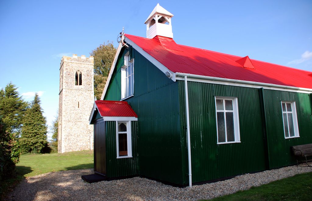
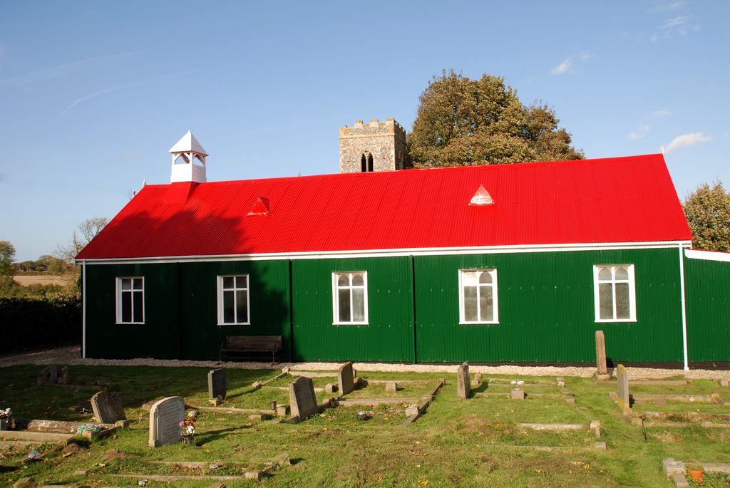
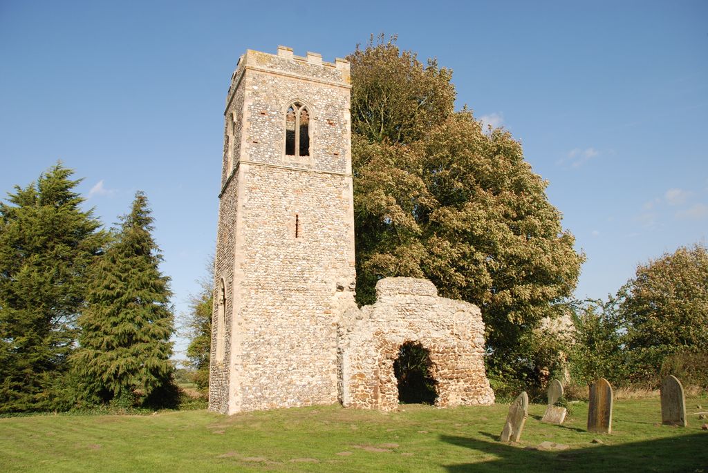
| Description | : | The Church of St Mary Burgh Parva was errected as a tempoary corrugated iron church in 1903, to provide a church for the new railway village of Melton Constable. Over 100 years later this "tempoary" church is still in use and much loved. The village of Melton Constable was built for workers on the M&GN Railway which was closed in the 1960's, and retains much of its Victorian Character. The parish is part of the United Benefice of Briston, Burgh Parva, Hindolveston and Melton Constable. [The parish of Melton Constable includes the deserted former parish... Read More |
frequently asked questions (FAQ):
-
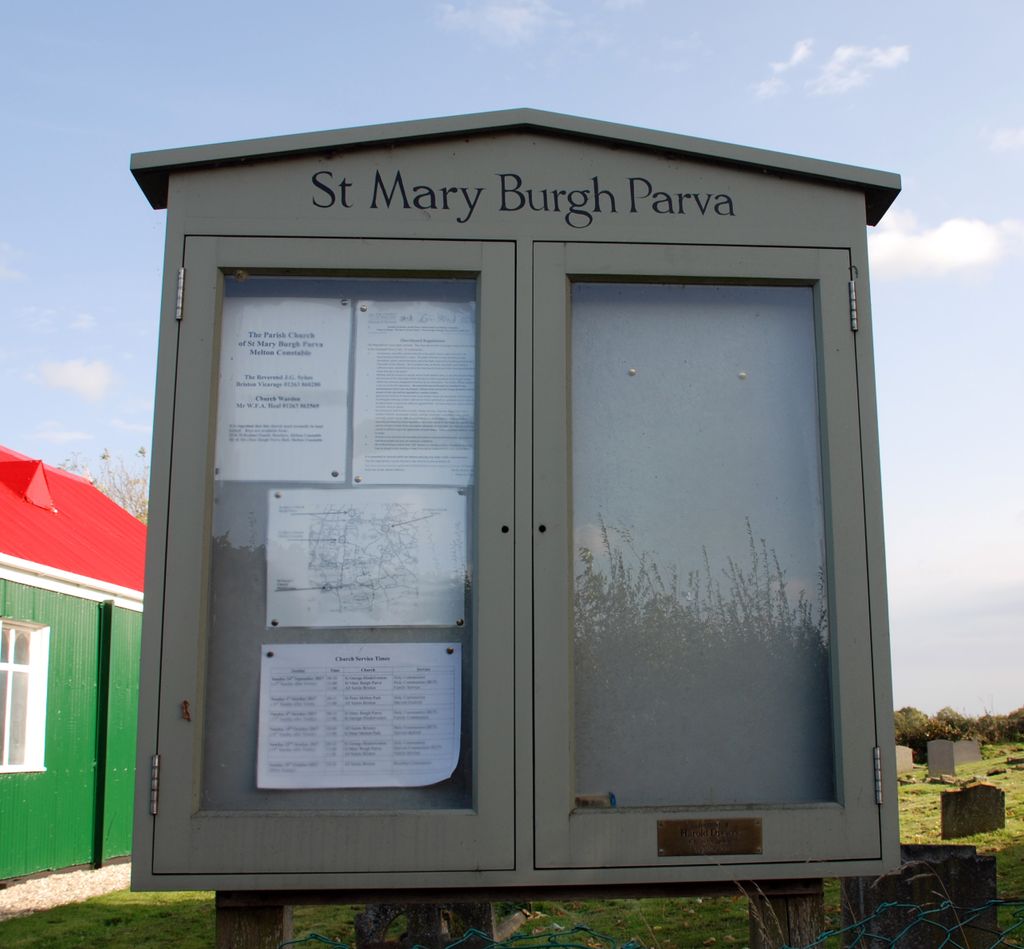
Where is St Mary Churchyard Burgh Parva?
St Mary Churchyard Burgh Parva is located at Melton Constable, North Norfolk District ,Norfolk , NR24 2PUEngland.
-
St Mary Churchyard Burgh Parva cemetery's updated grave count on graveviews.com?
5 memorials
-
Where are the coordinates of the St Mary Churchyard Burgh Parva?
Latitude: 52.8605700
Longitude: 1.0337300
Nearby Cemetories:
1. St Maurice Churchyard
Briningham, North Norfolk District, England
Coordinate: 52.8682680, 1.0271340
2. St Peter's Churchyard
Melton Constable, North Norfolk District, England
Coordinate: 52.8462900, 1.0247300
3. All Saints Churchyard
Briston, North Norfolk District, England
Coordinate: 52.8511120, 1.0617870
4. St. Andrew's Churchyard
Brinton, North Norfolk District, England
Coordinate: 52.8803690, 1.0274610
5. St Lawrence Churchyard
Hunworth, North Norfolk District, England
Coordinate: 52.8772530, 1.0673080
6. St Mary Churchyard
Gunthorpe, North Norfolk District, England
Coordinate: 52.8767720, 0.9883020
7. Old St. George Churchyard
Hindolveston, North Norfolk District, England
Coordinate: 52.8233900, 1.0136710
8. Edgefield Old Churchyard
Edgefield, North Norfolk District, England
Coordinate: 52.8687300, 1.1001800
9. All Saints Churchyard
Bale, North Norfolk District, England
Coordinate: 52.8906290, 0.9871950
10. St. Mary's Churchyard
Barney, North Norfolk District, England
Coordinate: 52.8555700, 0.9606080
11. St. Peter and St. Paul's Churchyard
Edgefield, North Norfolk District, England
Coordinate: 52.8645320, 1.1089840
12. St. Andrews Churchyard
Letheringsett, North Norfolk District, England
Coordinate: 52.9081600, 1.0623490
13. Christ Church Churchyard
Fulmodeston, North Norfolk District, England
Coordinate: 52.8385680, 0.9569670
14. St. Mary's Churchyard
Fulmodeston, North Norfolk District, England
Coordinate: 52.8306490, 0.9558700
15. St. Margaret's Churchyard
Saxlingham, North Norfolk District, England
Coordinate: 52.9155250, 1.0121410
16. Methodist Memorial Gardens
Holt, North Norfolk District, England
Coordinate: 52.9067730, 1.0878360
17. St. John the Baptist Chapelyard
Fulmodeston, North Norfolk District, England
Coordinate: 52.8397799, 0.9440578
18. Saint Andrew the Apostle
Holt, North Norfolk District, England
Coordinate: 52.9063400, 1.0933500
19. St. Martin's Churchyard
Hindringham, North Norfolk District, England
Coordinate: 52.8882000, 0.9477300
20. Saint Andrew's Churchyard
Field Dalling, North Norfolk District, England
Coordinate: 52.9110600, 0.9832800
21. Holt Town Cemetery
Holt, North Norfolk District, England
Coordinate: 52.9117900, 1.0850400
22. St Peter
Guestwick, Broadland District, England
Coordinate: 52.8014270, 1.0565010
23. St Andrew Churchyard
Hempstead, North Norfolk District, England
Coordinate: 52.8895750, 1.1270070
24. All Saints Churchyard
Hempstead, North Norfolk District, England
Coordinate: 52.8895200, 1.1274620