
| Memorials | : | 1 |
| Location | : | Elland, Metropolitan Borough of Calderdale, England |
| Coordinate | : | 53.6867040, -1.8378380 |
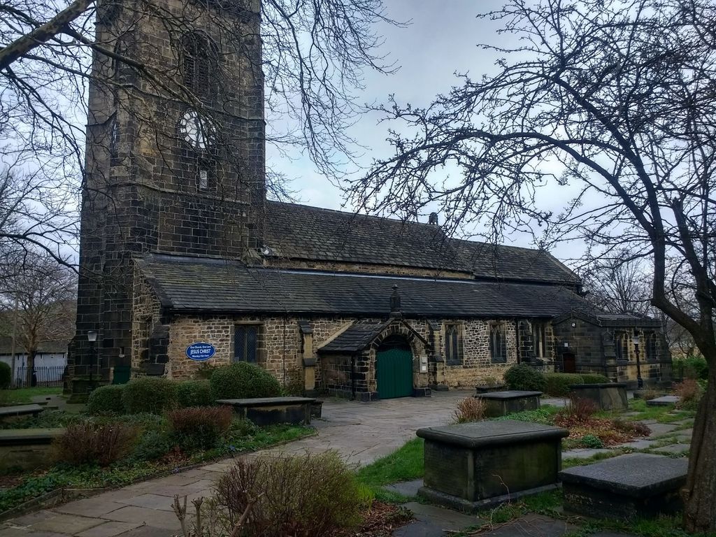
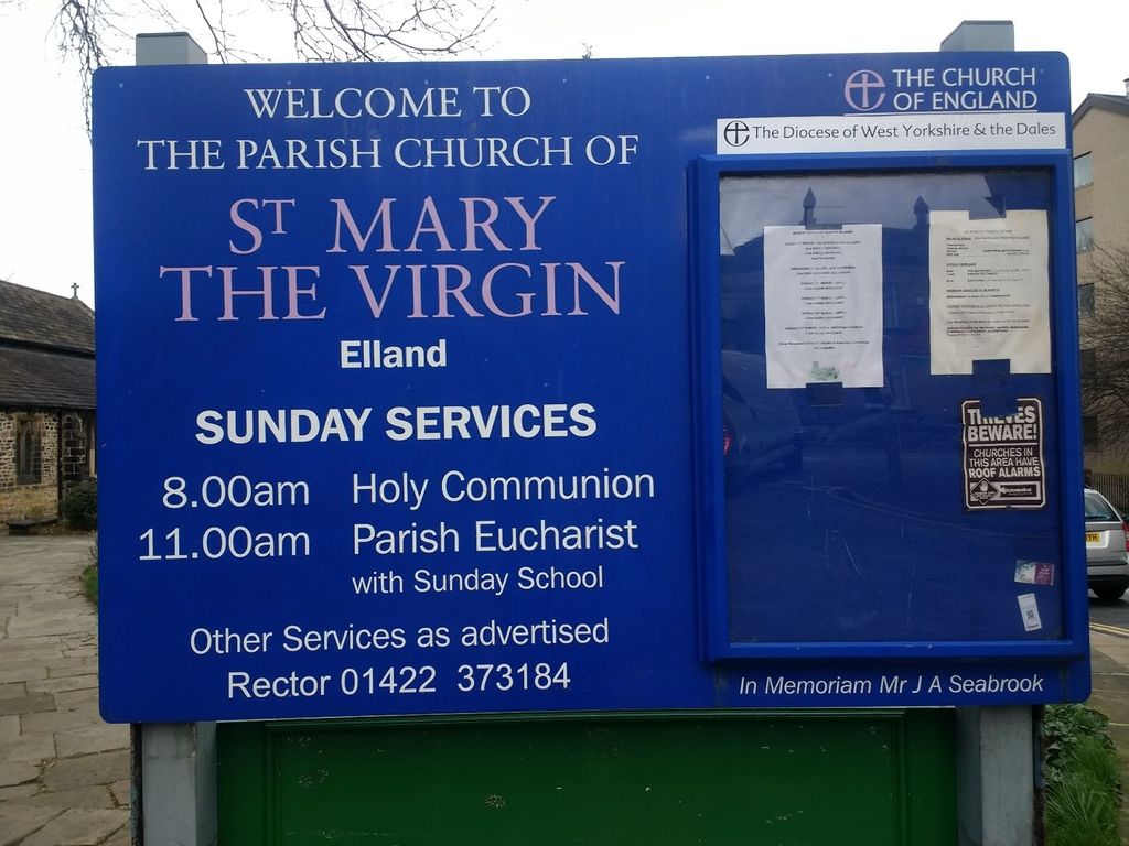
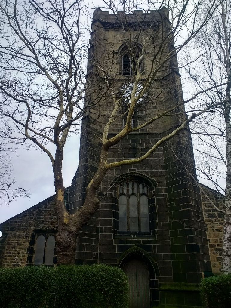
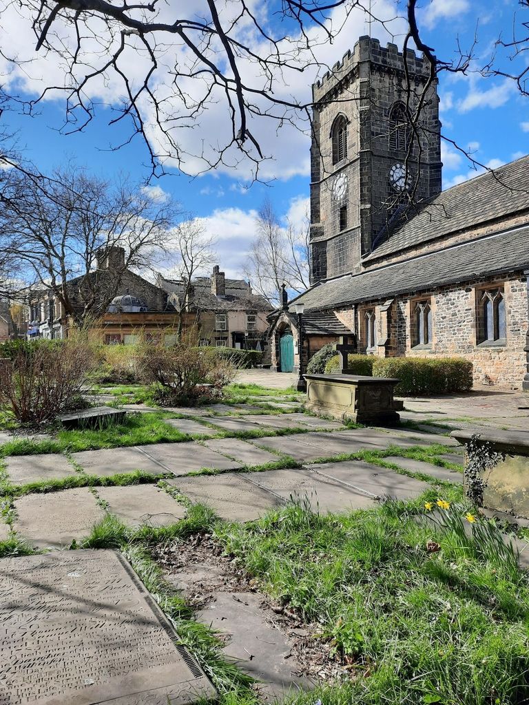
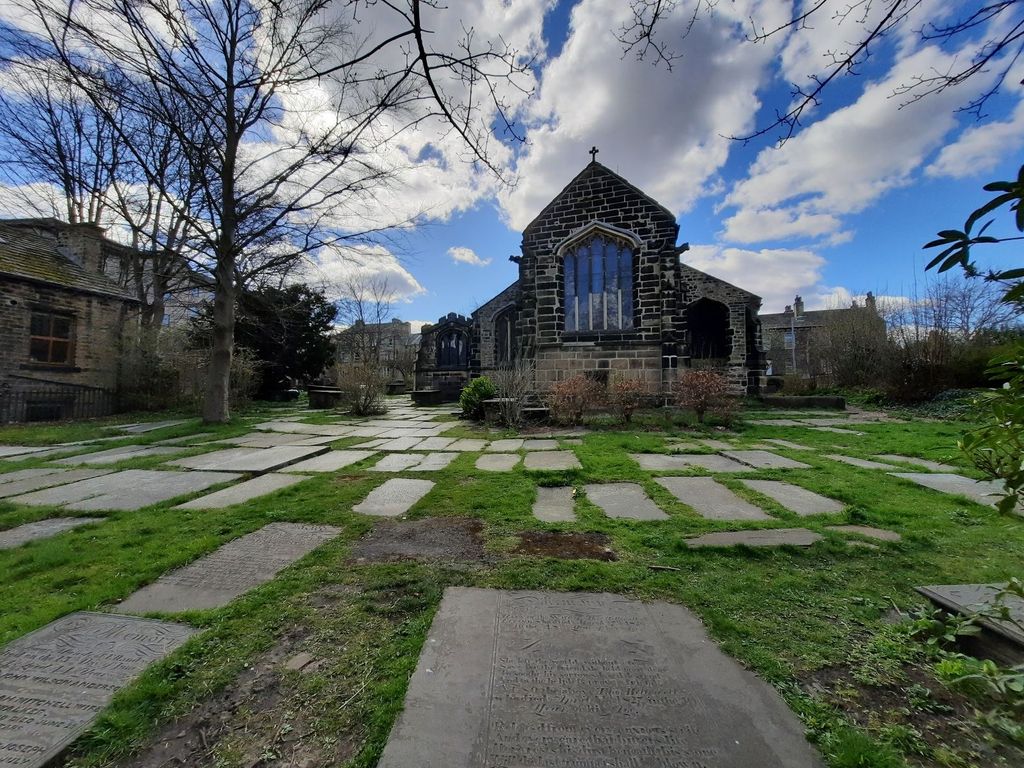
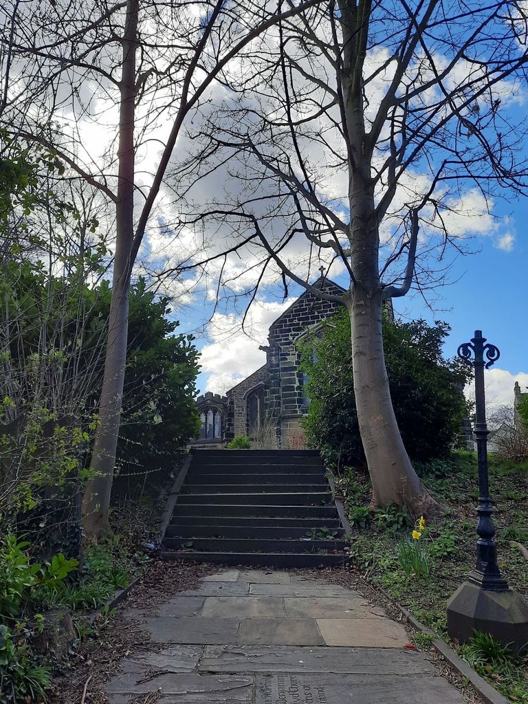
| Description | : | The church was built in 1180 when Henry de Eland decided that he did not like the people of Elland travelling to Halifax to worship. The tower was added in 1490. The first clock was made by John Bollard in 1671, this was replaced in 1638 by Sam Ogden. As with church of this era, many burials of prominent families (eg Thornhill and Savile) took place within the church building as well in the exterior grounds. |
frequently asked questions (FAQ):
-
Where is St. Mary the Virgin Churchyard?
St. Mary the Virgin Churchyard is located at Church Street Elland, Metropolitan Borough of Calderdale ,West Yorkshire , HX5 0RUEngland.
-
St. Mary the Virgin Churchyard cemetery's updated grave count on graveviews.com?
1 memorials
-
Where are the coordinates of the St. Mary the Virgin Churchyard?
Latitude: 53.6867040
Longitude: -1.8378380
Nearby Cemetories:
1. Bethesda Methodist Churchyard
Elland, Metropolitan Borough of Calderdale, England
Coordinate: 53.6833990, -1.8408070
2. Park Wood Crematorium and Garden of Remembrance
Elland, Metropolitan Borough of Calderdale, England
Coordinate: 53.6936780, -1.8340910
3. Elland Cemetery
Elland, Metropolitan Borough of Calderdale, England
Coordinate: 53.6928740, -1.8454990
4. Blackley Baptist Chapelyard
Elland, Metropolitan Borough of Calderdale, England
Coordinate: 53.6756860, -1.8478720
5. Greetland Wesleyan Methodist Chapelyard (Defunct)
Greetland, Metropolitan Borough of Calderdale, England
Coordinate: 53.6879010, -1.8679500
6. Cross Hills Methodist Church Memory Garden
Greetland, Metropolitan Borough of Calderdale, England
Coordinate: 53.6881400, -1.8681200
7. All Saints Churchyard
Halifax, Metropolitan Borough of Calderdale, England
Coordinate: 53.7006700, -1.8604300
8. St Thomas Churchyard
Greetland, Metropolitan Borough of Calderdale, England
Coordinate: 53.6885490, -1.8719150
9. Holywell Green Congregational Cemetery
Holywell Green, Metropolitan Borough of Calderdale, England
Coordinate: 53.6762570, -1.8683210
10. Southowram Methodist Chapelyard
Southowram, Metropolitan Borough of Calderdale, England
Coordinate: 53.7085600, -1.8260000
11. St Philip the Apostle Churchyard
Huddersfield, Metropolitan Borough of Kirklees, England
Coordinate: 53.6657200, -1.8208100
12. St. Stephen's Churchyard
Copley, Metropolitan Borough of Calderdale, England
Coordinate: 53.6972690, -1.8734380
13. St Anne-in-the-Grove Churchyard
Southowram, Metropolitan Borough of Calderdale, England
Coordinate: 53.7090280, -1.8189630
14. Lindley Methodist Chapelyard
Lindley, Metropolitan Borough of Kirklees, England
Coordinate: 53.6634200, -1.8219000
15. St Mark Church Garden of Remembrance
Siddal, Metropolitan Borough of Calderdale, England
Coordinate: 53.7107600, -1.8530000
16. Zion Methodist Chapelyard
Lindley, Metropolitan Borough of Kirklees, England
Coordinate: 53.6617100, -1.8236500
17. Stainland Methodist Chapel Yard
Holywell Green, Metropolitan Borough of Calderdale, England
Coordinate: 53.6725100, -1.8771400
18. St Andrew Churchyard
Stainland, Metropolitan Borough of Calderdale, England
Coordinate: 53.6731200, -1.8780500
19. St. Matthew's Churchyard
Rastrick, Metropolitan Borough of Calderdale, England
Coordinate: 53.6906920, -1.7917690
20. Rastrick Cemetery
Rastrick, Metropolitan Borough of Calderdale, England
Coordinate: 53.6862720, -1.7907900
21. St. Stephen's Churchyard
Lindley, Metropolitan Borough of Kirklees, England
Coordinate: 53.6590210, -1.8222000
22. Salendine Nook Baptist Chapelyard
Huddersfield, Metropolitan Borough of Kirklees, England
Coordinate: 53.6575200, -1.8417800
23. Stoney Royd Cemetery
Halifax, Metropolitan Borough of Calderdale, England
Coordinate: 53.7163450, -1.8517670
24. Bank Top Methodist Church Cemetery
Southowram, Metropolitan Borough of Calderdale, England
Coordinate: 53.7179810, -1.8444820