
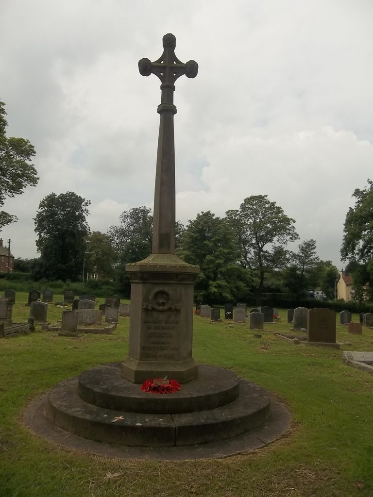
| Memorials | : | 3 |
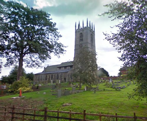
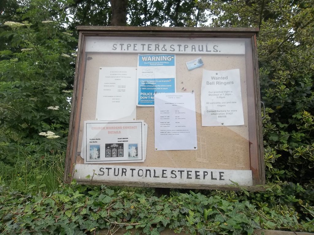
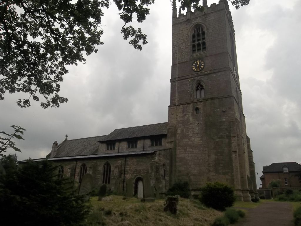
| Location | : | Sturton-le-Steeple, Bassetlaw District, England |
| Coordinate | : | 53.3500000, -0.8200000 |
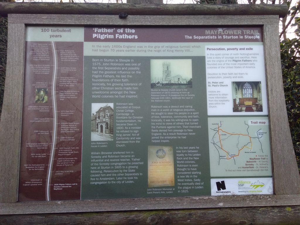
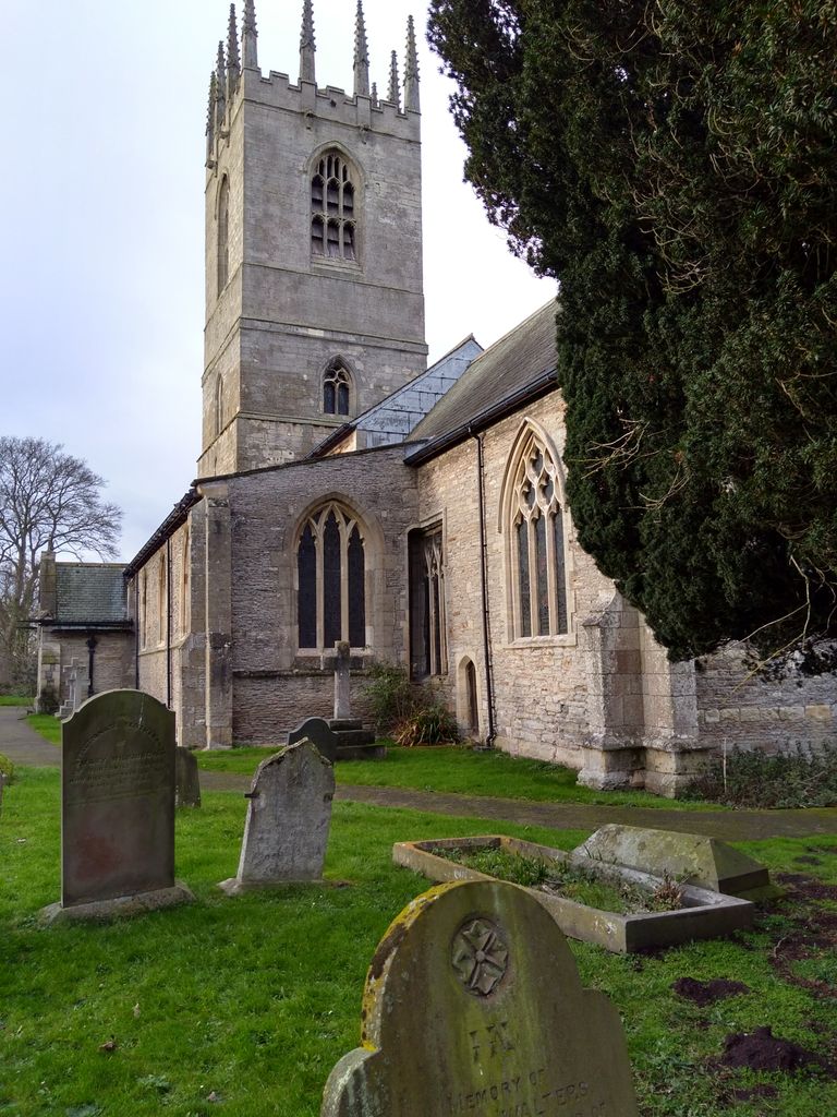
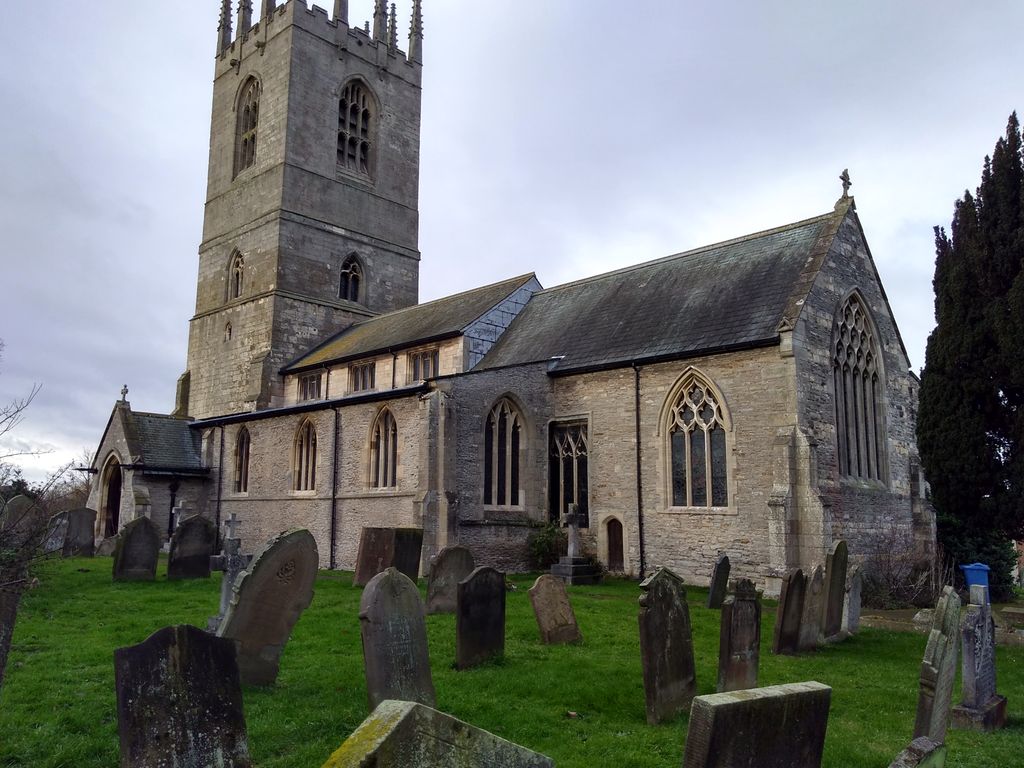
| Description | : | The church was built around 1180 and financed by Lady Oliva who died about 1236, the daughter of Alan Fitz Jordan, and Lady of the Manor of Oswaldbeck Soke. The tower was built from 1340 to 1480, replacing an earlier wooden bell tower. A major fire in 1901 took most of the church records from before 1640. |
frequently asked questions (FAQ):
-
Where is St Peter & St Paul Churchyard?
St Peter & St Paul Churchyard is located at Sturton-le-Steeple, Bassetlaw District ,Nottinghamshire , DN22England.
-
St Peter & St Paul Churchyard cemetery's updated grave count on graveviews.com?
3 memorials
-
Where are the coordinates of the St Peter & St Paul Churchyard?
Latitude: 53.3500000
Longitude: -0.8200000
Nearby Cemetories:
1. West Burton old church yard
West Burton, Bassetlaw District, England
Coordinate: 53.3569854, -0.8026078
2. St. Martin's North Leverton Churchyard
North Leverton with Habblesthorpe, Bassetlaw District, England
Coordinate: 53.3314800, -0.8195900
3. Saint Martin's Churchyard
Bole, Bassetlaw District, England
Coordinate: 53.3748200, -0.8093900
4. St Peter & St Paul Churchyard
North Wheatley, Bassetlaw District, England
Coordinate: 53.3641900, -0.8563900
5. St. Mary's Churchyard
Knaith, West Lindsey District, England
Coordinate: 53.3520400, -0.7577000
6. St. Nicholas Churchyard
Littleborough, Bassetlaw District, England
Coordinate: 53.3339600, -0.7632600
7. Lea Fields Crematorium
Gainsborough, West Lindsey District, England
Coordinate: 53.3627763, -0.7528780
8. St. John the Baptist Churchyard
Treswell, Bassetlaw District, England
Coordinate: 53.3057600, -0.8285600
9. Saint Helens Churchyard
Lea, West Lindsey District, England
Coordinate: 53.3704000, -0.7528100
10. St. John the Baptist Churchyard
Clarborough, Bassetlaw District, England
Coordinate: 53.3413200, -0.8981100
11. Holy Trinity Churchyard
Cottam, Bassetlaw District, England
Coordinate: 53.3112500, -0.7732600
12. St. Helen's Churchyard
Gate Burton, West Lindsey District, England
Coordinate: 53.3364060, -0.7420920
13. Marton Cemetery
Marton, West Lindsey District, England
Coordinate: 53.3251500, -0.7468200
14. All Saints Churchyard
Rampton, Bassetlaw District, England
Coordinate: 53.2984394, -0.8019018
15. Saint Margaret of Antioch Churchyard
Marton, West Lindsey District, England
Coordinate: 53.3260600, -0.7406500
16. Holy Trinity Parish Church
Gainsborough, West Lindsey District, England
Coordinate: 53.3948791, -0.7723334
17. St. John's Churchyard
Gainsborough, West Lindsey District, England
Coordinate: 53.3949589, -0.7722998
18. St. Peter's Churchyard
Hayton, Bassetlaw District, England
Coordinate: 53.3494900, -0.9093700
19. All Saints Churchyard
Beckingham, Bassetlaw District, England
Coordinate: 53.4037500, -0.8297300
20. All Saints Churchyard
Gainsborough, West Lindsey District, England
Coordinate: 53.4014800, -0.7763900
21. Gainsborough General Cemetery
Gainsborough, West Lindsey District, England
Coordinate: 53.4009300, -0.7681200
22. North Warren Cemetery
Gainsborough, West Lindsey District, England
Coordinate: 53.4105900, -0.7833000
23. St. Peter's Churchyard
Clayworth, Bassetlaw District, England
Coordinate: 53.3877200, -0.9093960
24. St. Peter's Churchyard
Stokeham, Bassetlaw District, England
Coordinate: 53.2835800, -0.8279800