
| Memorials | : | 0 |
| Location | : | Vienna, Wien Stadt, Austria |
| Website | : | en.wikipedia.org/wiki/Vergilius_Chapel |
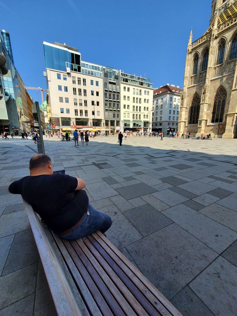
| Description | : | The current plaza around St. Stephen's Cathedral (Stephansplatz) was once a churchyard. On it stood a chapel dedicated to St. Mary Magdalen. An earlier underground chapel dedicated to St. Virgil had been constructed between 1220-1230. Part of this underground chapel was used as an ossuary. The above ground chapel burned in 1781. The cemetery was closed in 1782 and the underground chapel filled in and forgotten. Rediscovered (with burials) in 1973 it can be viewed from the subway station directly adjacent as part of the Vienna Museum. |
frequently asked questions (FAQ):
-
Where is St. Stephen's Cemetery (Defunct)?
St. Stephen's Cemetery (Defunct) is located at No GPS information available Add GPSStephansplatz--St. Stephen's Square Vienna, Wien Stadt ,Vienna (Wien) ,Austria.
-
St. Stephen's Cemetery (Defunct) cemetery's updated grave count on graveviews.com?
0 memorials

Nearby Cemetories:
1. Friedhof Aspern
Aspern, Wien Stadt, Austria
Coordinate: 48.1535230, 16.2755920
2. Friedhof der Franzosen
Aspern, Wien Stadt, Austria
Coordinate: 48.1342410, 16.2691800
3. Hadersdorf Cemetery
Hadersdorf, Wien Stadt, Austria
Coordinate: 48.2762750, 16.5012960
4. Wallfahrtskirche Mariabrunn
Hadersdorf, Wien Stadt, Austria
Coordinate: 48.2527710, 16.4931030
5. Friedhof Jedlesee
Jedlesee, Wien Stadt, Austria
Coordinate: 48.2771520, 16.3175470
6. Friedhof Liesing
Liesing, Wien Stadt, Austria
Coordinate: 48.2544170, 16.3355330
7. Friedhof Oberlaa
Oberlaa, Wien Stadt, Austria
Coordinate: 48.2602770, 16.3466670
8. Friedhof Sievering
Sievering, Wien Stadt, Austria
Coordinate: 48.2357430, 16.4698600
9. Friedhof Eßling
Essling, Wien Stadt, Austria
10. Friedhof Hernals
Hernals, Wien Stadt, Austria
Coordinate: 48.1764200, 16.2922590
11. Hameaud
Hernals, Wien Stadt, Austria
Coordinate: 48.2444080, 16.3092590
12. Kagraner Pfarrkirche
Kagran, Wien Stadt, Austria
Coordinate: 48.2951190, 16.4371220
13. Friedhof Mauer
Mauer, Wien Stadt, Austria
Coordinate: 48.1535230, 16.2755920
14. Friedhof Rodaun
Rodaun, Wien Stadt, Austria
Coordinate: 48.1342410, 16.2691800
15. Friedhof Süßenbrunn
Sussenbrunn, Wien Stadt, Austria
Coordinate: 48.2762750, 16.5012960
16. Friedhof Breitenlee
Breitenlee, Wien Stadt, Austria
Coordinate: 48.2527710, 16.4931030
17. Friedhof Klosterwald
Wien Stadt, Austria
Coordinate: 48.2771520, 16.3175470
18. Friedhof Grinzing
Grinzing, Wien Stadt, Austria
Coordinate: 48.2544170, 16.3355330
19. Heiligenstädter Friedhof
Wien Stadt, Austria
Coordinate: 48.2602770, 16.3466670
20. Friedhof Hirschstetten
Hirschstetten, Wien Stadt, Austria
Coordinate: 48.2357430, 16.4698600
21. Kahlenbergerdorfer Friedhof
Kahlenbergerdorf, Wien Stadt, Austria
22. Friedhof Lainz
Lainz, Wien Stadt, Austria
Coordinate: 48.1764200, 16.2922590
23. Friedhof Pötzleinsdorf
Potzleinsdorf, Wien Stadt, Austria
Coordinate: 48.2444080, 16.3092590
24. Friedhof Stammersdorf Zentral
Stammersdorf, Wien Stadt, Austria
Coordinate: 48.2951190, 16.4371220