
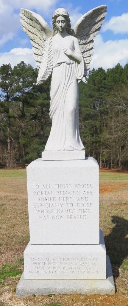
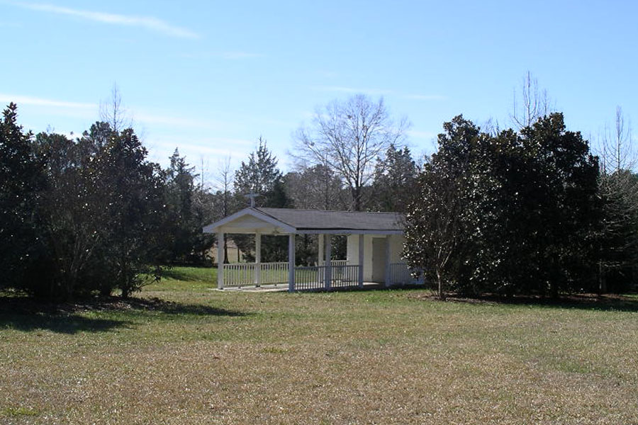
| Memorials | : | 0 |
| Location | : | Whitfield, Rankin County, USA |
| Coordinate | : | 32.2452860, -90.0826900 |
frequently asked questions (FAQ):
-
Where is State Hospital Cemetery?
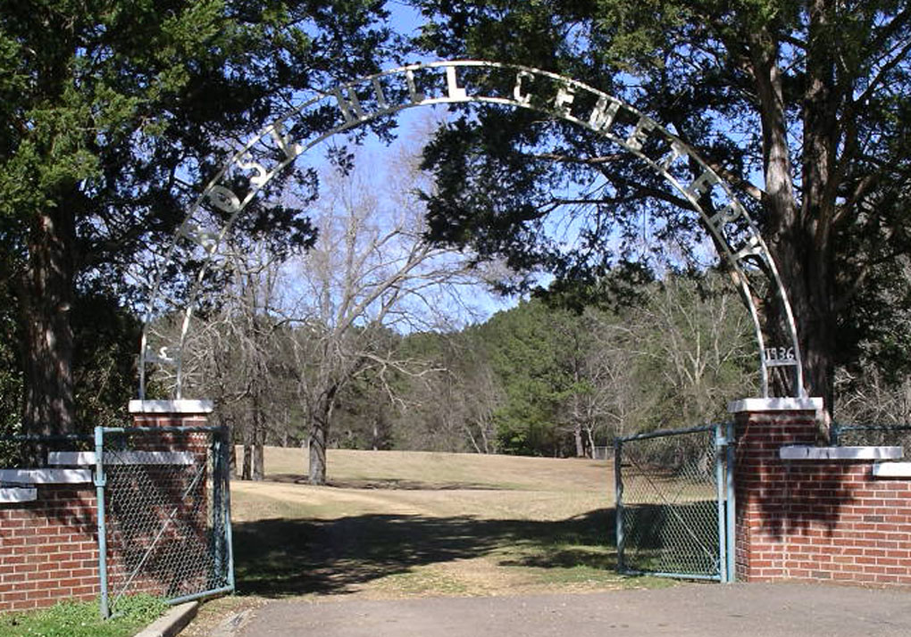
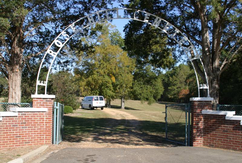
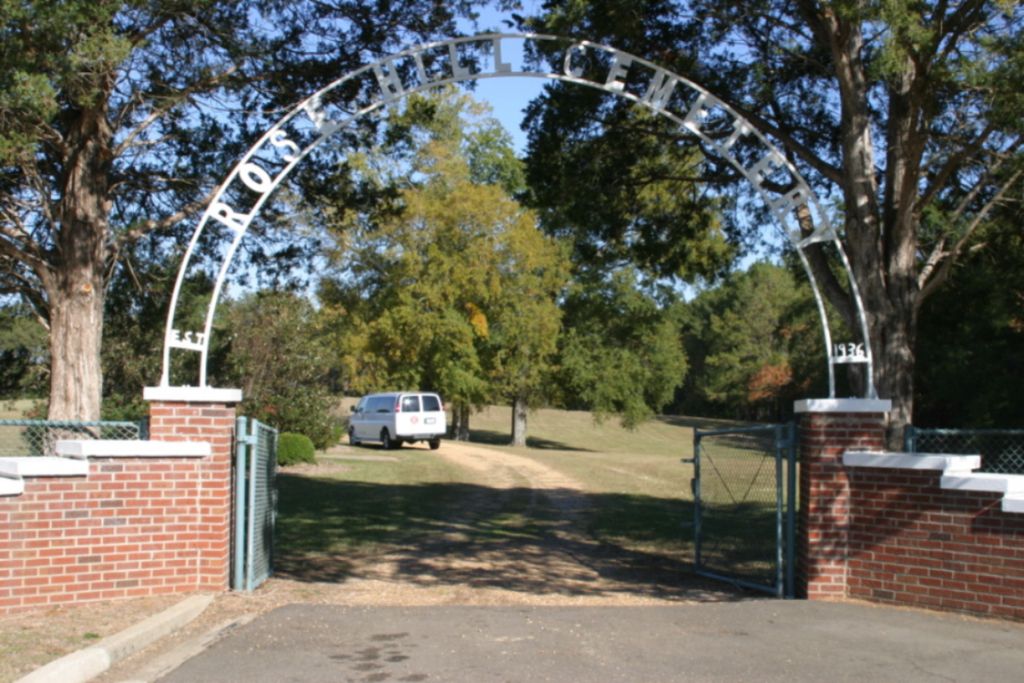
State Hospital Cemetery is located at Whitfield, Rankin County ,Mississippi ,USA.
-
State Hospital Cemetery cemetery's updated grave count on graveviews.com?
0 memorials
-
Where are the coordinates of the State Hospital Cemetery?
Latitude: 32.2452860
Longitude: -90.0826900
Nearby Cemetories:
1. Jones Memorial Cemetery
Pearl, Rankin County, USA
Coordinate: 32.2663680, -90.0823340
2. Old Sea Cemetery
Pearson, Rankin County, USA
Coordinate: 32.2602997, -90.1033020
3. Mount Elam Cemetery
Pearl, Rankin County, USA
Coordinate: 32.2543983, -90.1081009
4. Ebenezer Cemetery
Richland, Rankin County, USA
Coordinate: 32.2175484, -90.1126633
5. Floral Hills Memory Gardens
Pearl, Rankin County, USA
Coordinate: 32.2827988, -90.0725021
6. Pearson Cemetery
Rankin County, USA
Coordinate: 32.2503014, -90.1299973
7. Sweet Rest Cemetery
Pearl, Rankin County, USA
Coordinate: 32.2509100, -90.1308400
8. Greenfield Cemetery
Rankin County, USA
Coordinate: 32.2331009, -90.0307999
9. Liberty Cemetery
Pearl, Rankin County, USA
Coordinate: 32.2907982, -90.0697021
10. New Hope Cemetery
Florence, Rankin County, USA
Coordinate: 32.1906013, -90.0768967
11. Pleasant Grove Cemetery
Pearl, Rankin County, USA
Coordinate: 32.2910995, -90.0466995
12. Sandhill Missionary Baptist Church Cemetery
Sand Hill, Rankin County, USA
Coordinate: 32.2439990, -90.0173070
13. Bethel Cemetery
Brandon, Rankin County, USA
Coordinate: 32.2252998, -90.0105972
14. Briar Hill Cemetery
Monterey, Rankin County, USA
Coordinate: 32.1800003, -90.0907974
15. Mount Sinai Missionary Baptist Church Cemetery
Richland, Rankin County, USA
Coordinate: 32.2219650, -90.1591360
16. Jesus Name Tabernacle Cemetery
Florence, Rankin County, USA
Coordinate: 32.1908910, -90.1368960
17. Richland Cemetery
Richland, Rankin County, USA
Coordinate: 32.2036018, -90.1519012
18. Glenwood Memorial Park
Richland, Rankin County, USA
Coordinate: 32.2273900, -90.1665600
19. Brandon Memorial Gardens
Brandon, Rankin County, USA
Coordinate: 32.2585983, -89.9953003
20. Crestview Memorial Gardens
Brandon, Rankin County, USA
Coordinate: 32.2475060, -89.9884990
21. Saint Matthew Cemetery
Flowood, Rankin County, USA
Coordinate: 32.3258018, -90.0943985
22. Brandon Cemetery
Brandon, Rankin County, USA
Coordinate: 32.2756004, -89.9925003
23. Light of Liberty Cemetery
Brandon, Rankin County, USA
Coordinate: 32.2811012, -89.9944000
24. Drakes Cemetery
Flowood, Rankin County, USA
Coordinate: 32.3286018, -90.0942001