
| Memorials | : | 32 |
| Location | : | Stilesville, Hendricks County, USA |
| Phone | : | 317-539-2667 |
| Coordinate | : | 39.6410484, -86.6300125 |
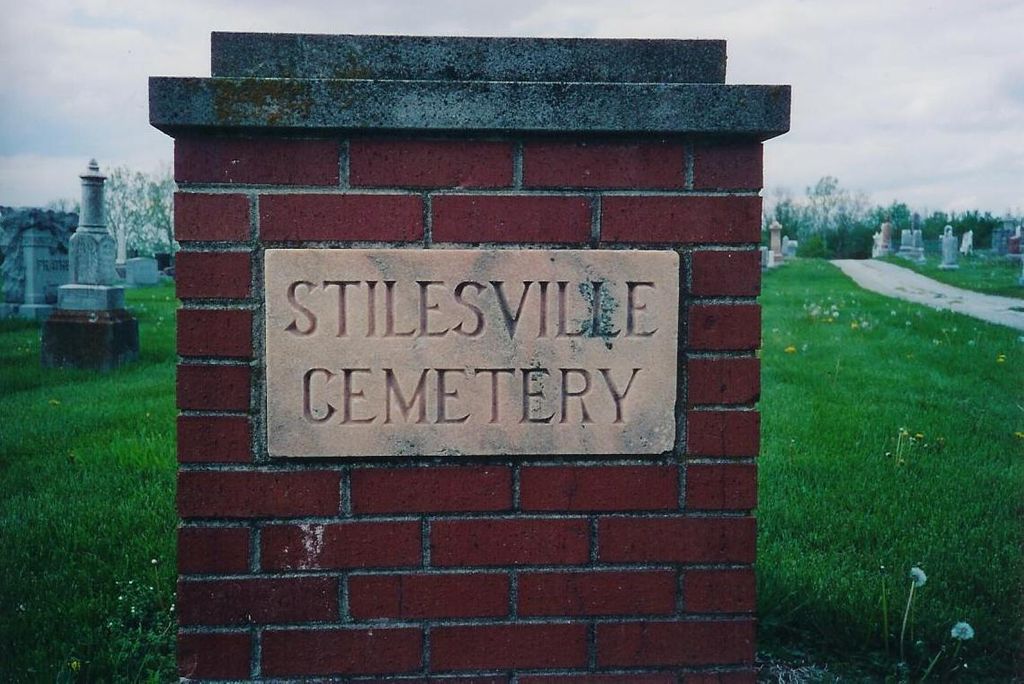
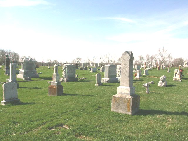
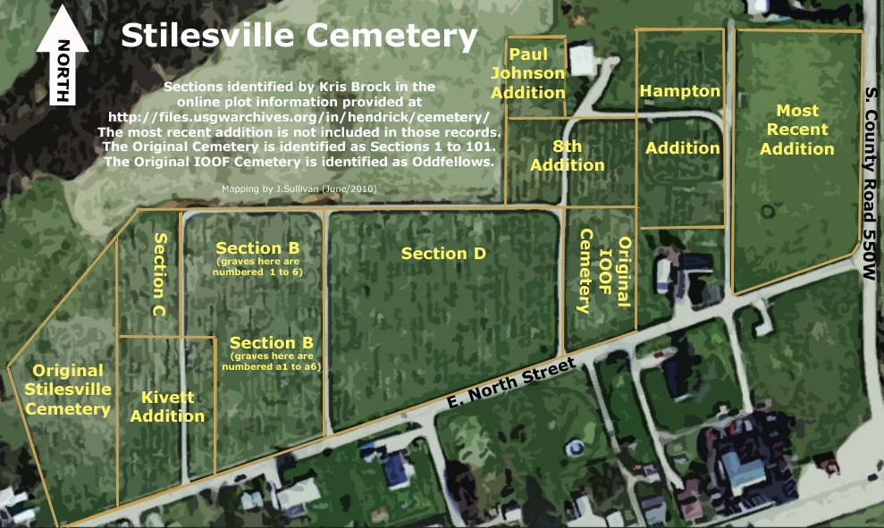
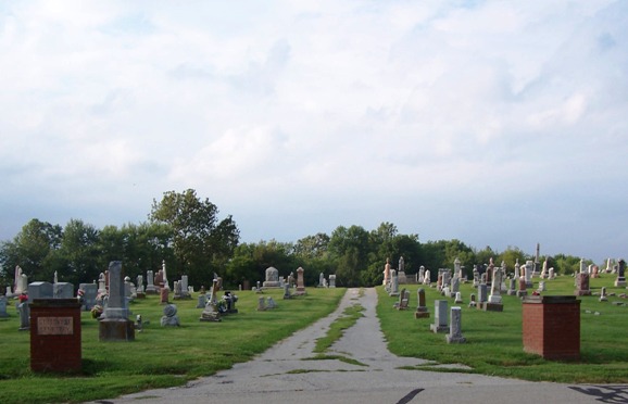
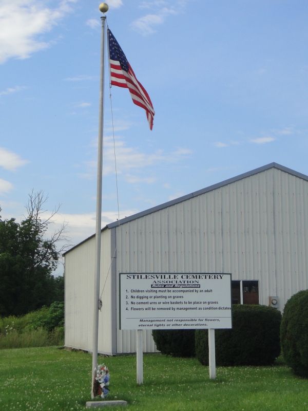
| Description | : | This cemetery is in the northeast part of the town of Stilesville. It is on the north side of North Street between Milton Street and 550W. It is large and visible from the road. Indiana Cemetery Locations, Volume 3, published by the Indiana Genealogical Society (April 2007), gives the primary cemetery name as Stilesville Cemetery with an alternate name of IOOF Cemetery. The cemetery is listed in the Cemetery and Burial Grounds Registry of the Indiana Department of Natural Resources (DNR) and in the State Historical Architectural and Archaeological Research Database (SHAARD) with Cemetery Record Number CR-32-58 (Stilesville... Read More |
frequently asked questions (FAQ):
-
Where is Stilesville Cemetery?
Stilesville Cemetery is located at 3944 W County Road 900 S Stilesville, Hendricks County ,Indiana , 46180USA.
-
Stilesville Cemetery cemetery's updated grave count on graveviews.com?
26 memorials
-
Where are the coordinates of the Stilesville Cemetery?
Latitude: 39.6410484
Longitude: -86.6300125
Nearby Cemetories:
1. Pleasant Hill Cemetery
Stilesville, Hendricks County, USA
Coordinate: 39.6647987, -86.6429977
2. Walnut Grove Cemetery
Stilesville, Hendricks County, USA
Coordinate: 39.6130333, -86.6193695
3. Snoddy Cemetery
Stilesville, Hendricks County, USA
Coordinate: 39.6313019, -86.5888824
4. Hebron Presbyterian Cemetery
Coatesville, Hendricks County, USA
Coordinate: 39.6524162, -86.6728516
5. Heavin-Lee Cemetery
Putnam County, USA
Coordinate: 39.6219711, -86.6769409
6. Bethel Lutheran Cemetery
Pecksburg, Hendricks County, USA
Coordinate: 39.6645813, -86.5799026
7. Amo Cemetery
Amo, Hendricks County, USA
Coordinate: 39.6851273, -86.6141510
8. Coatesville Cemetery
Coatesville, Hendricks County, USA
Coordinate: 39.6800003, -86.6688690
9. Moravian Cemetery
Coatesville, Hendricks County, USA
Coordinate: 39.6842155, -86.6708832
10. Hudson Cemetery
Putnam County, USA
Coordinate: 39.6299060, -86.6984450
11. West Branch Friends Cemetery
Coatesville, Hendricks County, USA
Coordinate: 39.6884995, -86.6644669
12. Spring Friends Cemetery
Springtown, Hendricks County, USA
Coordinate: 39.6982841, -86.6204147
13. Old Lee Cemetery
Marion Township, Putnam County, USA
Coordinate: 39.6525000, -86.7064000
14. Broadstreet Cemetery
Belle Union, Putnam County, USA
Coordinate: 39.6090000, -86.6994000
15. Springtown Methodist Cemetery
Springtown, Hendricks County, USA
Coordinate: 39.7014999, -86.6072159
16. Allee Cemetery
Jefferson Township, Putnam County, USA
Coordinate: 39.5816193, -86.6666794
17. Liberty Cemetery
Fillmore, Putnam County, USA
Coordinate: 39.6525040, -86.7168640
18. Bethel Baptist Cemetery
Fillmore, Putnam County, USA
Coordinate: 39.6595001, -86.7157516
19. Crown Center Cemetery
Crown Center, Morgan County, USA
Coordinate: 39.5764008, -86.5943985
20. Bunten Cemetery
Fillmore, Putnam County, USA
Coordinate: 39.6478000, -86.7317000
21. McCormack Cemetery
Clayton, Hendricks County, USA
Coordinate: 39.6900482, -86.5472336
22. Jones Cemetery
Clayton, Hendricks County, USA
Coordinate: 39.6478653, -86.5245361
23. Walnut Chapel Cemetery
Cloverdale, Putnam County, USA
Coordinate: 39.5647000, -86.6694000
24. McCammack Cemetery
Belle Union, Putnam County, USA
Coordinate: 39.5892000, -86.7186000