
| Memorials | : | 0 |
| Location | : | Kaukauna, Outagamie County, USA |
| Coordinate | : | 44.2684746, -88.2818051 |
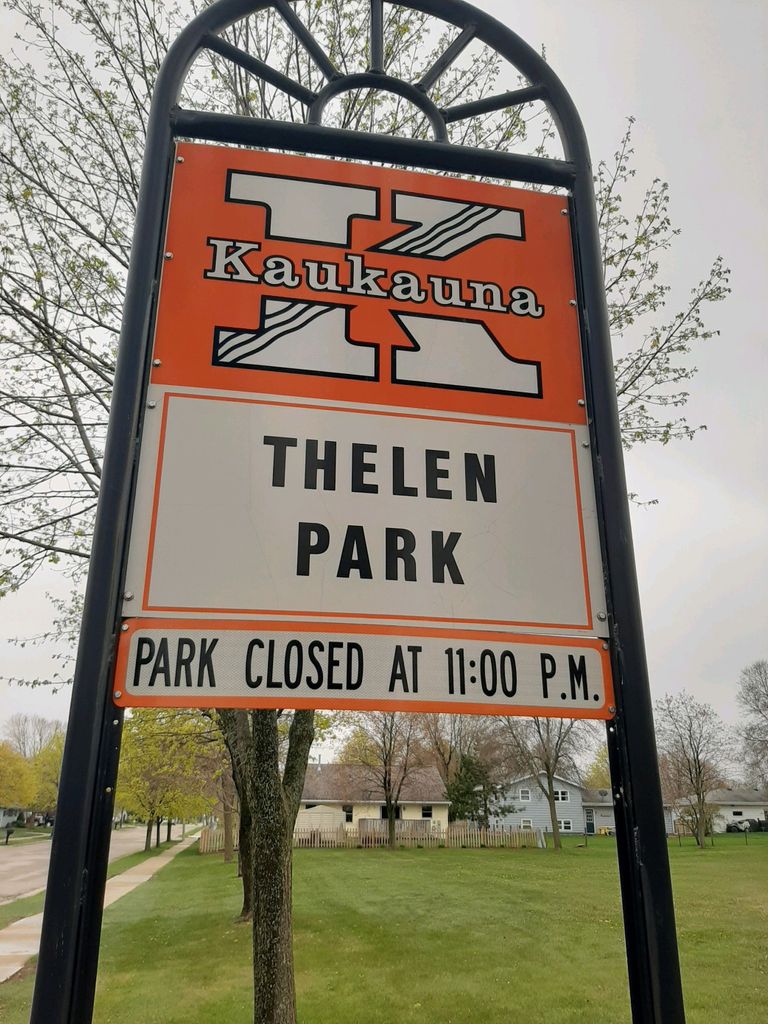
| Description | : | Old Stockbridge Cemetery on the Frank Thelen farm. The Thelen farm no longer exists and the area is overrun with residential development. An Historical Marker to Captain Hendrick Aupaumut and Jacob Konkapot Jr. stands in Thelen Park, believed to have been close to the Indian cemetery. (source: "Soldiers of the American Revolution Buried in Wisconsin", published by the Wisconsin Society Sons of the American Revolution) |
frequently asked questions (FAQ):
-
Where is Stockbridge Cemetery?
Stockbridge Cemetery is located at 1401 Thelen Avenue Kaukauna, Outagamie County ,Wisconsin , 54130USA.
-
Stockbridge Cemetery cemetery's updated grave count on graveviews.com?
0 memorials
-
Where are the coordinates of the Stockbridge Cemetery?
Latitude: 44.2684746
Longitude: -88.2818051
Nearby Cemetories:
1. St. Mary's Cemetery
Kaukauna, Outagamie County, USA
Coordinate: 44.2671100, -88.2884900
2. Union Cemetery
Kaukauna, Outagamie County, USA
Coordinate: 44.2689018, -88.2919006
3. Saint Paul Cemetery
Combined Locks, Outagamie County, USA
Coordinate: 44.2676000, -88.2922000
4. Saint John Nepomucene Cemetery
Little Chute, Outagamie County, USA
Coordinate: 44.2825012, -88.3103027
5. Saint John Cemetery
Little Chute, Outagamie County, USA
Coordinate: 44.2781200, -88.3144400
6. Holy Cross Cemetery
Kaukauna, Outagamie County, USA
Coordinate: 44.2916985, -88.2593994
7. Trinity Evangelical Lutheran Cemetery
Kaukauna, Outagamie County, USA
Coordinate: 44.2949982, -88.2472000
8. Holy Name Cemetery
Kimberly, Outagamie County, USA
Coordinate: 44.2586100, -88.3380600
9. Holy Angels Cemetery
Appleton, Outagamie County, USA
Coordinate: 44.2440000, -88.3318000
10. Kelso Cemetery
Kaukauna, Outagamie County, USA
Coordinate: 44.3086014, -88.2508011
11. Saint John Evangelical Lutheran Cemetery
Dundas, Calumet County, USA
Coordinate: 44.2206300, -88.2280690
12. Saint Joseph Cemetery
Appleton, Outagamie County, USA
Coordinate: 44.2703018, -88.3771973
13. Riverside Cemetery
Appleton, Outagamie County, USA
Coordinate: 44.2700005, -88.3816986
14. Saint Francis Cemetery
Hollandtown, Brown County, USA
Coordinate: 44.2494400, -88.1778400
15. Zion Cemetery
Appleton, Outagamie County, USA
Coordinate: 44.2747002, -88.3927994
16. Moses Montefiore Cemetery
Appleton, Outagamie County, USA
Coordinate: 44.2759420, -88.3928310
17. First Congregational UCC Memorial Garden
Appleton, Outagamie County, USA
Coordinate: 44.2540700, -88.3932290
18. All Saints Episcopal Columbarium
Appleton, Outagamie County, USA
Coordinate: 44.2621400, -88.4004700
19. Community Lutheran Cemetery
Freedom, Outagamie County, USA
Coordinate: 44.3372002, -88.3531036
20. Saint Paul Catholic Cemetery
Wrightstown, Brown County, USA
Coordinate: 44.3213997, -88.1877975
21. Saint Patrick Catholic Cemetery
Kaukauna, Outagamie County, USA
Coordinate: 44.3358600, -88.2037000
22. Forrest Run Pet Cemetery
Sherwood, Calumet County, USA
Coordinate: 44.1800400, -88.2953100
23. Freedom Township Cemetery
Freedom, Outagamie County, USA
Coordinate: 44.3508301, -88.3454819
24. High Cliff Cemetery
Sherwood, Calumet County, USA
Coordinate: 44.1707993, -88.2910995