
| Memorials | : | 1 |
| Location | : | Cherry Creek, White County, USA |
| Coordinate | : | 36.0416600, -85.4443230 |
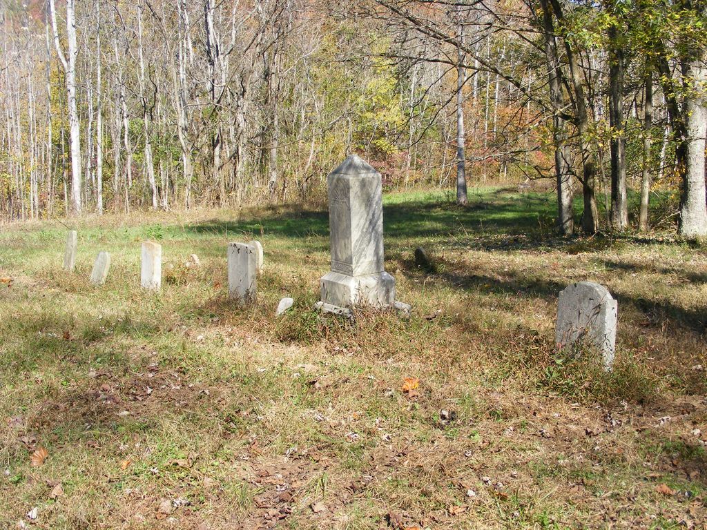
| Description | : | Cemetery is located in a hay field 200 ft west of ruin of house south of Tate Lane. 0.6 miles east of Junction of Stone Hollow Rd., 0.2 Miles east of south junction Cherry Creek Rd., 4.4 miles north junction Monterey Hwy(SR84). Cherry Creek Rd is 5.6 miles from the White County Courthouse in Downtown Sparta, Tennessee. On Tate Lane park at creek 0.3 miles east of Stone Hollow Rd., walk upstream. After 2nd gate climb hill to house of right. Cemetery located using this description taken from the Fred Clark book "Cemeteries of White County Tennessee". |
frequently asked questions (FAQ):
-
Where is Stone Cemetery?
Stone Cemetery is located at Cherry Creek, White County ,Tennessee ,USA.
-
Stone Cemetery cemetery's updated grave count on graveviews.com?
1 memorials
-
Where are the coordinates of the Stone Cemetery?
Latitude: 36.0416600
Longitude: -85.4443230
Nearby Cemetories:
1. Hill Cemetery
White County, USA
Coordinate: 36.0438995, -85.4728012
2. W.H. Wilhite Cemetery
Cherry Creek, White County, USA
Coordinate: 36.0119130, -85.4362920
3. Dyer Cemetery
Cherry Creek, White County, USA
Coordinate: 36.0678700, -85.4642300
4. Lower Cherry Creek Cemetery
White County, USA
Coordinate: 36.0064011, -85.4293976
5. Arlington of Tennessee Cemetery
Monterey, Putnam County, USA
Coordinate: 36.0814260, -85.4536560
6. Kinnaird Cemetery
White County, USA
Coordinate: 36.0323820, -85.4946700
7. Isom Cemetery
White County, USA
Coordinate: 36.0738560, -85.4780050
8. Thomas J. Clouse Cemetery
Cookeville, Putnam County, USA
Coordinate: 36.0810230, -85.4253660
9. Williams Cemetery
Cookeville, Putnam County, USA
Coordinate: 36.0819730, -85.4603030
10. Old Clouse-Bumbalough Cemetery
Cookeville, Putnam County, USA
Coordinate: 36.0813170, -85.4234330
11. Pennington Cemetery
Cookeville, Putnam County, USA
Coordinate: 36.0782410, -85.4805110
12. Anderson Cemetery #04
White County, USA
Coordinate: 36.0266670, -85.5006700
13. Hill Cemetery
Cookeville, Putnam County, USA
Coordinate: 36.0858870, -85.4697060
14. Stallion Family Cemetery
Cookeville, Putnam County, USA
Coordinate: 36.0905910, -85.4546430
15. Robinson Cemetery
Putnam County, USA
Coordinate: 36.0906639, -85.4542236
16. Cunningham Family Cemetery
White County, USA
Coordinate: 36.0718700, -85.4938500
17. Goodwin Cemetery
White County, USA
Coordinate: 36.0586630, -85.5092910
18. Stone Seminary Cemetery
Cookeville, Putnam County, USA
Coordinate: 36.0890730, -85.4835330
19. Plum Creek Cemetery
White County, USA
Coordinate: 35.9982986, -85.3983002
20. Howard Cemetery
White County, USA
Coordinate: 36.0478325, -85.5162888
21. Clouse Cemetery
Cookeville, Putnam County, USA
Coordinate: 36.0702700, -85.3720100
22. Farris Cemetery
White County, USA
Coordinate: 35.9840288, -85.4826775
23. Pleasant Ridge Freewill Baptist Church Cemetery
Monterey, Putnam County, USA
Coordinate: 36.0833000, -85.3802500
24. Nicholas Cemetery
Cookeville, Putnam County, USA
Coordinate: 36.1062430, -85.4697810