
| Memorials | : | 0 |
| Location | : | Calhoun County, USA |
| Coordinate | : | 30.4884090, -85.0189450 |
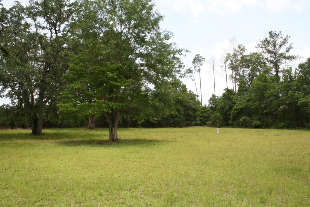
| Description | : | The cemetery has no identification sign. From the intersection of State Highway 20 and State Highway 71 in Blountstown, go north on State Highway 71 for about 1/2 mile then bear right on State Highway 69 for 4.4 miles. Turn right on Parrish Lake Road (paved) and follow Parrish Lake Road for 1.3 miles where the road will turn south. Stay on Parrish Lake Road for 1.1 miles. The cemetery is on the left about 1500 ft after Parrish Lake Road turns into a dirt road. |
frequently asked questions (FAQ):
-
Where is Stone Cemetery?
Stone Cemetery is located at Parrish Lake Road Calhoun County ,Florida , 32424USA.
-
Stone Cemetery cemetery's updated grave count on graveviews.com?
0 memorials
-
Where are the coordinates of the Stone Cemetery?
Latitude: 30.4884090
Longitude: -85.0189450
Nearby Cemetories:
1. Benoni Stone Family Cemetery
Blountstown, Calhoun County, USA
Coordinate: 30.4892200, -85.0455900
2. Nettle Ridge Cemetery
Blountstown, Calhoun County, USA
Coordinate: 30.4789009, -85.0441971
3. Graves Creek Cemetery
Blountstown, Calhoun County, USA
Coordinate: 30.5263100, -85.0298400
4. Watson Cemetery
Bristol, Liberty County, USA
Coordinate: 30.5128000, -84.9725000
5. Rivertown Community Church Cemetery
Calhoun County, USA
Coordinate: 30.4668000, -85.0712700
6. Bethel Cemetery
Blountstown, Calhoun County, USA
Coordinate: 30.4668100, -85.0712910
7. Macedonias First Baptist Church Cemetery
Calhoun County, USA
Coordinate: 30.5339900, -85.0522560
8. Gadsden Street Cemetery
Blountstown, Calhoun County, USA
Coordinate: 30.4362826, -85.0376214
9. Pleasant Rest Cemetery
Blountstown, Calhoun County, USA
Coordinate: 30.4570110, -85.0711970
10. Magnolia Cemetery
Blountstown, Calhoun County, USA
Coordinate: 30.4455290, -85.0615060
11. Atkins Cemetery
Blountstown, Calhoun County, USA
Coordinate: 30.5442009, -85.0322037
12. Boggs Cemetery
Blountstown, Calhoun County, USA
Coordinate: 30.4433002, -85.0616989
13. Bristol Cemetery
Bristol, Liberty County, USA
Coordinate: 30.4343700, -84.9800000
14. Wood Cemetery
Blountstown, Calhoun County, USA
Coordinate: 30.4403000, -85.0832977
15. Twin Oaks Cemetery
Bristol, Liberty County, USA
Coordinate: 30.4164200, -84.9727300
16. Barton Cemetery
Calhoun County, USA
Coordinate: 30.5622005, -85.0625000
17. Meacham Cemetery
Bristol, Liberty County, USA
Coordinate: 30.4311008, -84.9486008
18. Bethel Church Cemetery
Rock Bluff, Liberty County, USA
Coordinate: 30.5483700, -84.9455200
19. Ocheesee Cemetery
Blountstown, Calhoun County, USA
Coordinate: 30.5762700, -85.0156100
20. Grand Ridge Cemetery
Ocheesee Landing, Calhoun County, USA
Coordinate: 30.5764211, -85.0155783
21. Victory Hill Penecostal Holiness Church Cemetery
Altha, Calhoun County, USA
Coordinate: 30.5052800, -85.1246800
22. Torreya State Park Slave Cemetery
Rock Bluff, Liberty County, USA
Coordinate: 30.5630700, -84.9544600
23. Magnolia Baptist Church Cemetery
Blountstown, Calhoun County, USA
Coordinate: 30.4737700, -85.1277300
24. Pleasant Hill Cemetery
Bristol, Liberty County, USA
Coordinate: 30.4077650, -84.9530820