
| Memorials | : | 31 |
| Location | : | Clarksville, Hamilton County, USA |
| Coordinate | : | 40.0378990, -85.9411630 |
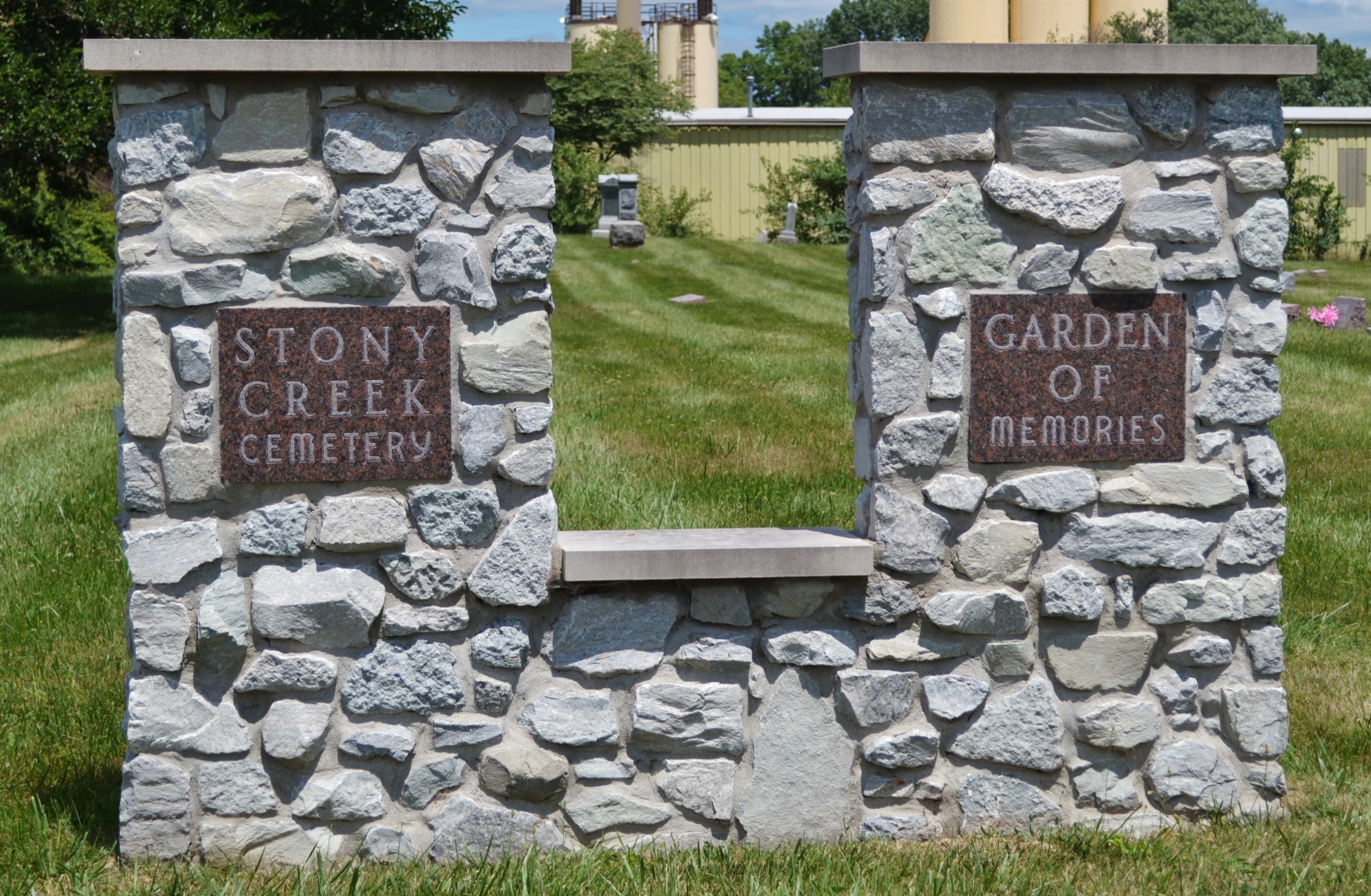
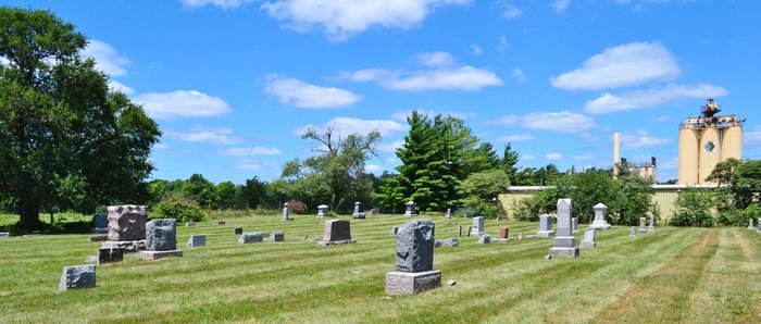
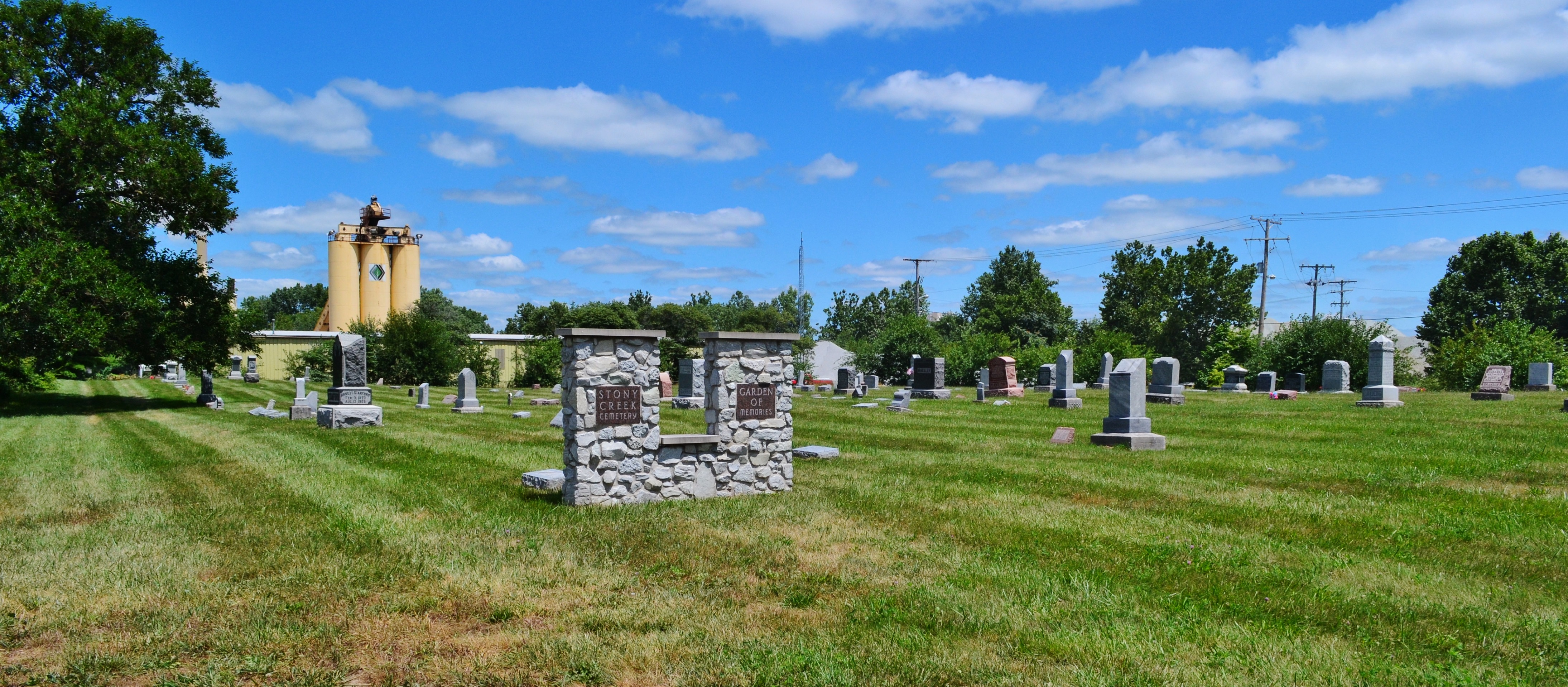
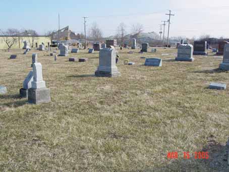
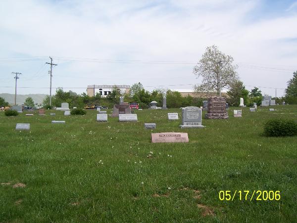
| Description | : | The cemetery is located in Wayne Township (SW quadrant of the SE quadrant of the NE quadrant of Section 3 Township 18N Range 5E) on the north side of Pendleton Avenue (Indiana State Highway 38) about 0.2 miles west of its intersection with Middletown Avenue and Boden Road. Indiana Cemetery Locations, Volume 2, published by the Indiana Genealogical Society (01 April 2006), gives the primary cemetery name as Stoney Creek Cemetery. The cemetery is listed in the Cemetery and Burial Grounds Registry of the Indiana Department of Natural Resources (DNR) and in the State Historical Architectural and Archaeological... Read More |
frequently asked questions (FAQ):
-
Where is Stony Creek Cemetery?
Stony Creek Cemetery is located at Pendleton Avenue (Indiana State Highway 38) Clarksville, Hamilton County ,Indiana , 46060USA.
-
Stony Creek Cemetery cemetery's updated grave count on graveviews.com?
31 memorials
-
Where are the coordinates of the Stony Creek Cemetery?
Latitude: 40.0378990
Longitude: -85.9411630

Nearby Cemetories:
1. Paulsel Cemetery
Noblesville, Hamilton County, USA
Coordinate: 40.0371400, -85.9412940
2. Bethel Baptist Church Cemetery
Noblesville, Hamilton County, USA
Coordinate: 40.0363312, -85.9368591
3. Finch Cemetery
Clarksville, Hamilton County, USA
Coordinate: 40.0348400, -85.9456300
4. Stern Cemetery
Clarksville, Hamilton County, USA
Coordinate: 40.0414850, -85.9277200
5. Caylor Family Cemetery
Noblesville, Hamilton County, USA
Coordinate: 40.0412730, -85.9663750
6. Ervin Cemetery
Hamilton County, USA
Coordinate: 40.0017310, -85.9356000
7. Hurlock Cemetery
Noblesville, Hamilton County, USA
Coordinate: 40.0292620, -85.9908000
8. Hair Cemetery
Hamilton County, USA
Coordinate: 40.0667076, -85.8958435
9. Gascho-Trissal Cemetery
Noblesville, Hamilton County, USA
Coordinate: 40.0477760, -86.0008850
10. Crownland Cemetery
Noblesville, Hamilton County, USA
Coordinate: 40.0525017, -86.0014038
11. Mushrush Cemetery
Hamilton County, USA
Coordinate: 40.0144119, -85.8815002
12. Bethlehem Cemetery
Fishers, Hamilton County, USA
Coordinate: 39.9860900, -85.9192400
13. Commons-Lennen Cemetery
Hamilton County, USA
Coordinate: 40.0305390, -85.8706430
14. Burk Cemetery
Clarksville, Hamilton County, USA
Coordinate: 39.9920700, -85.9003300
15. Lowery Cemetery
Fishers, Hamilton County, USA
Coordinate: 39.9864006, -85.9702988
16. Prairie Baptist Church Cemetery
Noblesville, Hamilton County, USA
Coordinate: 40.0883865, -85.9038315
17. Zimmer Cemetery
Noblesville, Hamilton County, USA
Coordinate: 40.0877991, -85.9811020
18. Bradley Cemetery
Noblesville, Hamilton County, USA
Coordinate: 40.0080490, -86.0069275
19. Riverside Cemetery
Noblesville, Hamilton County, USA
Coordinate: 40.0442200, -86.0173380
20. Brookside Cemetery
Lapel, Madison County, USA
Coordinate: 40.0606003, -85.8522034
21. Spannuth Cemetery
Fishers, Hamilton County, USA
Coordinate: 39.9937170, -86.0210450
22. Teter Woods Burial Ground
White River Township, Hamilton County, USA
Coordinate: 40.1130969, -85.9698880
23. Kinnaman Cemetery
Hamilton County, USA
Coordinate: 39.9692307, -85.8907700
24. Helms Cemetery
Hamilton County, USA
Coordinate: 39.9690552, -85.8899689