
| Memorials | : | 6 |
| Location | : | Brookville, Franklin County, USA |
| Coordinate | : | 39.4057270, -85.0126160 |
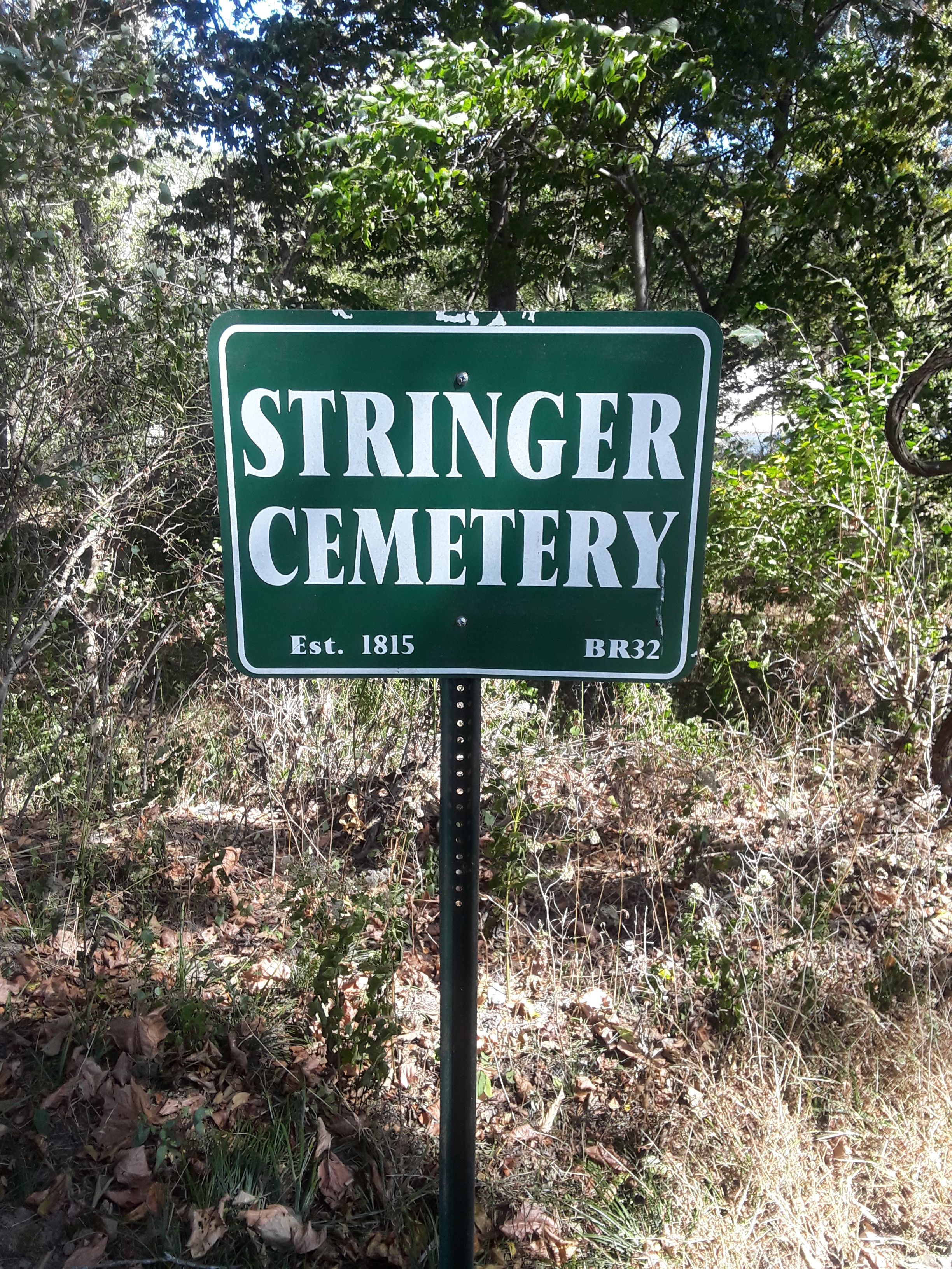
| Description | : | Located 1/2 mile South of Brookville on Blue Creek Rd. It is situated with the Infirmary/Poor Asylum Cemetery. Public access is via Blue Creek Rd. The cemetery was restored by the Cemetery Commission in 2010. The cemetery is located in Brookville Township (SE quadrant of the NE quadrant of the NW quadrant of Section 32 Township 9N Range 2W). The cemetery is listed in the Cemetery and Burial Grounds Registry of the Indiana Department of Natural Resources (DNR) and in the State Historical Architectural and Archaeological Research Database (SHAARD) with Cemetery Record Number CR-24-28 (Poor Farm / County... Read More |
frequently asked questions (FAQ):
-
Where is Stringer Cemetery?
Stringer Cemetery is located at Blue Creek Rd Brookville, Franklin County ,Indiana , 47012USA.
-
Stringer Cemetery cemetery's updated grave count on graveviews.com?
6 memorials
-
Where are the coordinates of the Stringer Cemetery?
Latitude: 39.4057270
Longitude: -85.0126160
Nearby Cemetories:
1. Infirmary Cemetery
Brookville, Franklin County, USA
Coordinate: 39.4056000, -85.0125000
2. Maple Grove Cemetery
Brookville, Franklin County, USA
Coordinate: 39.4216995, -85.0216980
3. Berg-Harding Cemetery
Highland Center, Franklin County, USA
Coordinate: 39.4241667, -85.0113889
4. Old Brookville Cemetery
Brookville, Franklin County, USA
Coordinate: 39.4248505, -85.0097122
5. Meyncke Cemetery
Brookville, Franklin County, USA
Coordinate: 39.3881660, -85.0016050
6. Elder Cemetery
Brookville, Franklin County, USA
Coordinate: 39.3986250, -84.9848120
7. Woodworth Cemetery
Brookville, Franklin County, USA
Coordinate: 39.4078000, -84.9811000
8. Bradburn Family Cemetery
Brookville, Franklin County, USA
Coordinate: 39.4138640, -84.9825850
9. Little Cedar Public Cemetery
Mound Haven, Franklin County, USA
Coordinate: 39.3911066, -84.9868303
10. Saint Michael Cemetery
Brookville, Franklin County, USA
Coordinate: 39.4308070, -85.0095360
11. Vincent Cemetery
Franklin County, USA
Coordinate: 39.4281000, -85.0328000
12. Utsler Cemetery
Brookville, Franklin County, USA
Coordinate: 39.3806000, -84.9961000
13. Little Cedar Grove Baptist Meeting House Cemetery
Franklin County, USA
Coordinate: 39.3872414, -84.9817886
14. Martin Cemetery
Brookville, Franklin County, USA
Coordinate: 39.4189000, -85.0478000
15. Saint Philomena Cemetery
Brookville, Franklin County, USA
Coordinate: 39.3914250, -85.0485390
16. West Family Cemetery
Brookville, Franklin County, USA
Coordinate: 39.4019300, -84.9700200
17. Stoops Cemetery
Brookville, Franklin County, USA
Coordinate: 39.4249100, -85.0518900
18. Usher Cemetery
Brookville, Franklin County, USA
Coordinate: 39.3722000, -85.0317001
19. Brookville Township Cemetery
Brookville, Franklin County, USA
Coordinate: 39.4347000, -84.9828000
20. Warne Cemetery
Brookville, Franklin County, USA
Coordinate: 39.4336000, -85.0472000
21. Robeson Cemetery
Brookville, Franklin County, USA
Coordinate: 39.3693710, -85.0386100
22. Cooksey Cemetery
Brookville, Franklin County, USA
Coordinate: 39.3714000, -84.9800000
23. Quick Cemetery
Mound Haven, Franklin County, USA
Coordinate: 39.3828000, -84.9614000
24. Berry Cemetery
Brookville, Franklin County, USA
Coordinate: 39.4161340, -84.9539200