| Memorials | : | 11 |
| Location | : | Louisa, Louisa County, USA |
| Coordinate | : | 38.1116500, -77.9177400 |
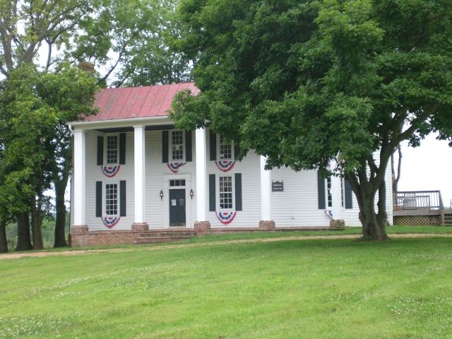
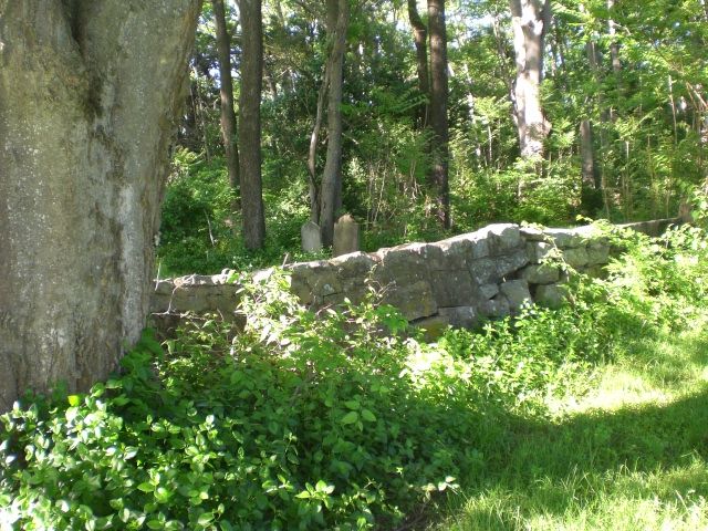
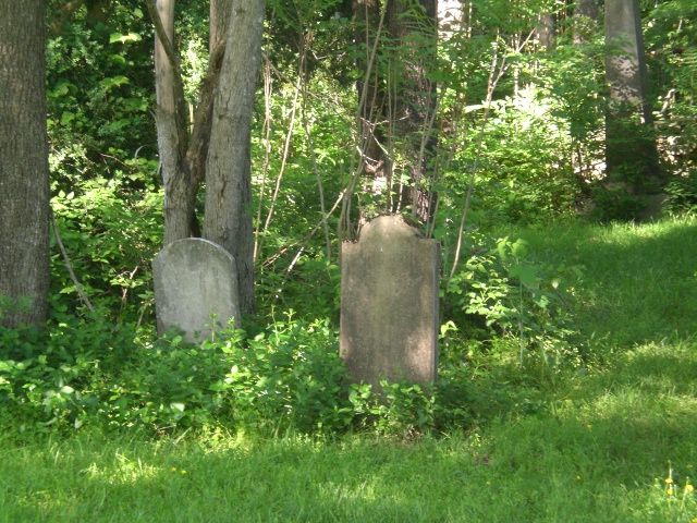
| Description | : | From Mineral, Virginia. Route 522 (Zachary Taylor HIghway) north 8.5 miles. Note the entrance from the left of Route 687, Daniel Road. The cemetery (and plantation house) are on the left, at 8303 Zachary Taylor Highway. |
frequently asked questions (FAQ):
-
Where is Sunning Hill Plantation Cemetery?
Sunning Hill Plantation Cemetery is located at Louisa, Louisa County ,Virginia ,USA.
-
Sunning Hill Plantation Cemetery cemetery's updated grave count on graveviews.com?
1 memorials
-
Where are the coordinates of the Sunning Hill Plantation Cemetery?
Latitude: 38.1116500
Longitude: -77.9177400
Nearby Cemetories:
1. Samuel Wharton Family Cemetery
Mineral, Louisa County, USA
Coordinate: 38.1047300, -77.8895370
2. Mount Gilliam New Site Baptist Church Cemetery
Louisa, Louisa County, USA
Coordinate: 38.0884060, -77.9160680
3. McGehee Family Cemetery
Mineral, Louisa County, USA
Coordinate: 38.0865480, -77.9136493
4. Poindexter Family Cemetery
Mineral, Louisa County, USA
Coordinate: 38.0867530, -77.8967836
5. Boyd Cemetery
Louisa, Louisa County, USA
Coordinate: 38.0885995, -77.9446123
6. Jerusalem Baptist Church Cemetery
Mineral, Louisa County, USA
Coordinate: 38.0837480, -77.8900270
7. Mount Pleasant United Methodist Church Cemetery
Mineral, Louisa County, USA
Coordinate: 38.0770410, -77.9276710
8. Saint John Baptist Church Cemetery
Mineral, Louisa County, USA
Coordinate: 38.0874520, -77.8801390
9. Mount Gilliam Old Site Baptist Church Cemetery
Louisa, Louisa County, USA
Coordinate: 38.0741081, -77.9355545
10. Trinity Baptist Church Cemetery
Mineral, Louisa County, USA
Coordinate: 38.0790180, -77.8827250
11. Coleman - Farish Family Cemetery
Orange, Orange County, USA
Coordinate: 38.1558220, -77.9139040
12. Murphy - Wormley Family Cemetery
Orange, Orange County, USA
Coordinate: 38.1570130, -77.9282330
13. Smith Cemetery
Mineral, Louisa County, USA
Coordinate: 38.0643020, -77.9069730
14. First Bible Way Church Cemetery
Louisa, Louisa County, USA
Coordinate: 38.0993640, -77.9812390
15. Oak Grove Cemetery
Mineral, Louisa County, USA
Coordinate: 38.0995697, -77.8539140
16. Johnson Family Cemetery
Mineral, Louisa County, USA
Coordinate: 38.0592610, -77.9136860
17. Ware - Waller Cemetery
Mineral, Louisa County, USA
Coordinate: 38.0829040, -77.8562800
18. Whitlock - Hall Cemetery
Louisa, Louisa County, USA
Coordinate: 38.0462960, -77.9306730
19. Orange Grove Cemetery
Unionville, Orange County, USA
Coordinate: 38.1767006, -77.8964005
20. Groome Family Cemetery
Mineral, Louisa County, USA
Coordinate: 38.0409257, -77.9243637
21. Bowles Cemetery
Mineral, Louisa County, USA
Coordinate: 38.0451330, -77.8822450
22. Taylor Cemetery
Louisa, Louisa County, USA
Coordinate: 38.0938988, -78.0089035
23. Berryman - Talley Cemetery
Mineral, Louisa County, USA
Coordinate: 38.0353641, -77.8882377
24. Boyd Family Cemetery
Louisa, Louisa County, USA
Coordinate: 38.0404541, -77.9873288


